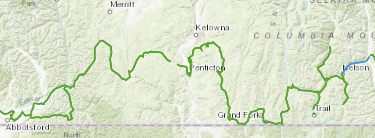
Day 1 | 2 | 3 | 4-5 | 6 | 7 | 8 | 9 | 10 | 11 | 12 | 13 | 14 | 15 | 16 | 17 | info
July 24, 2020 – Elk Lakes to Calgary
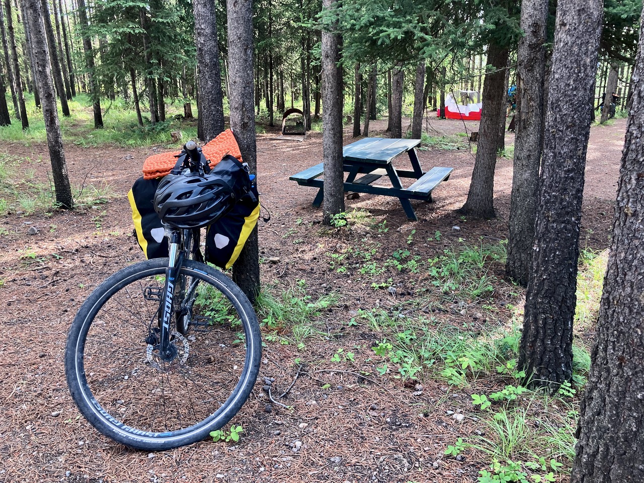
I awoke early in Elk Lakes Provincial Park to another day of great weather.

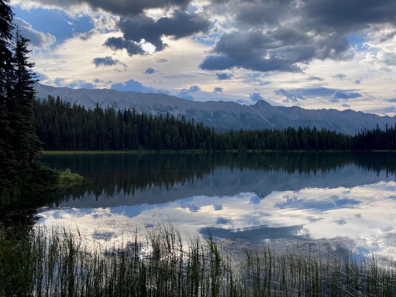
Coffee in bed. Then I packed up quickly before enjoying an early morning hike to Upper Elk Lake.
This may be my best photo from the entire trip.

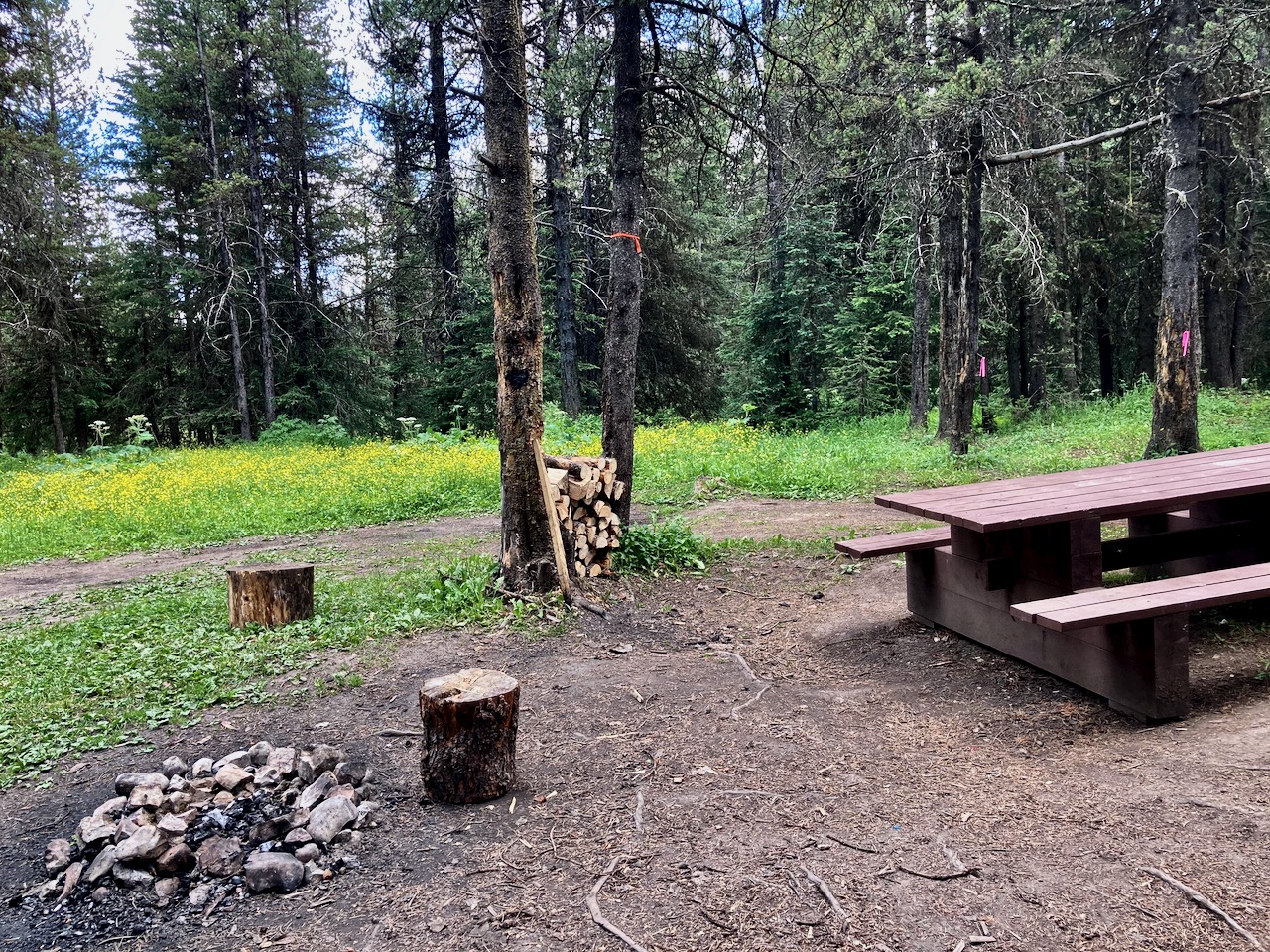
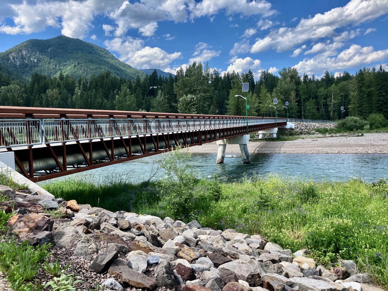
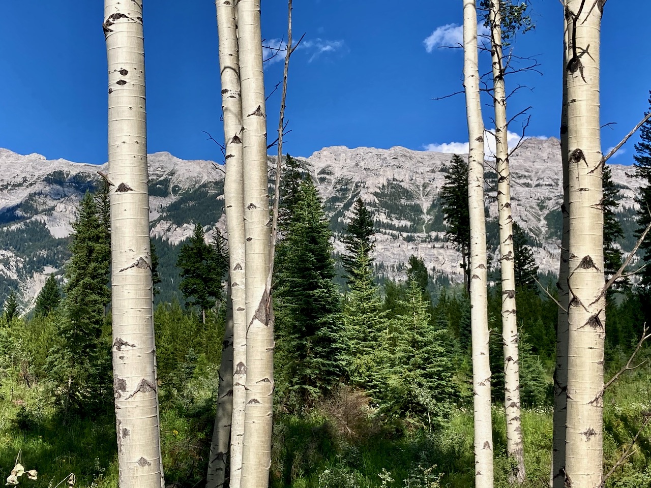
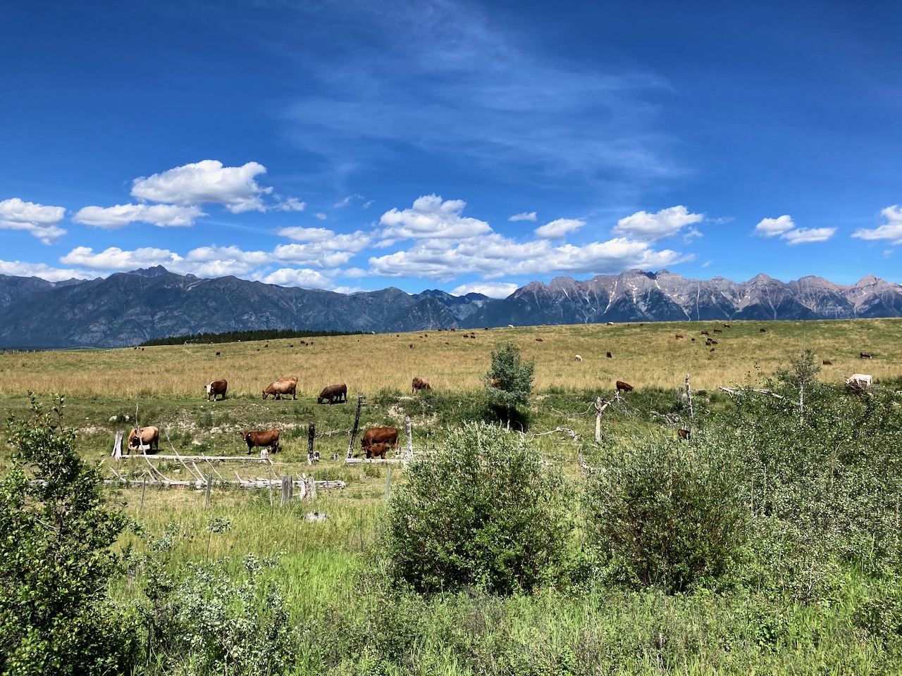
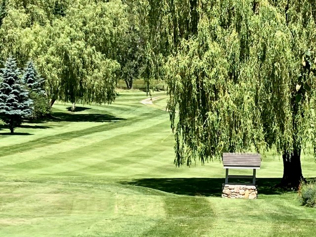
This is a lovely part of the Rockies. I’ll definitely be back for more hiking.
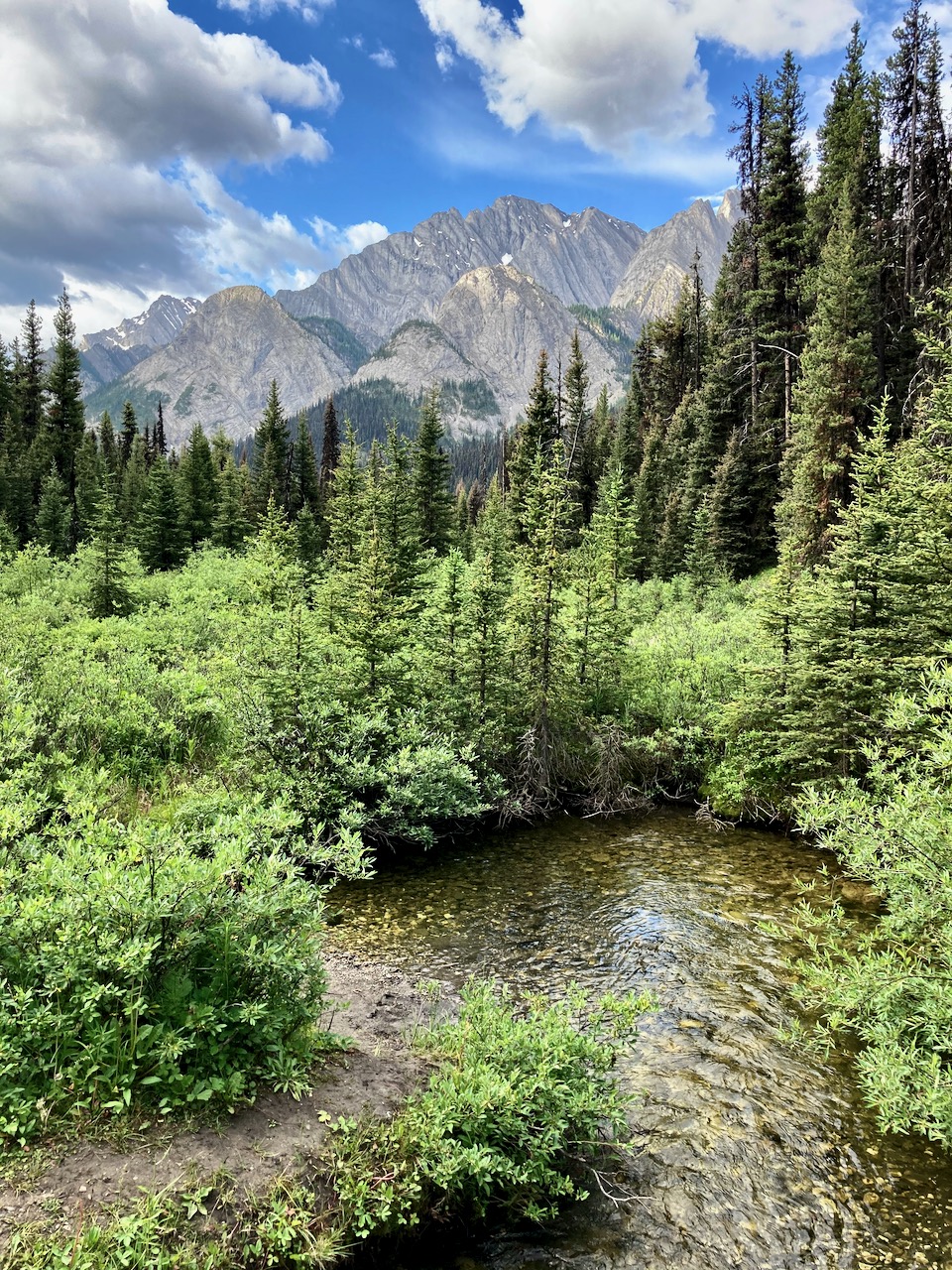
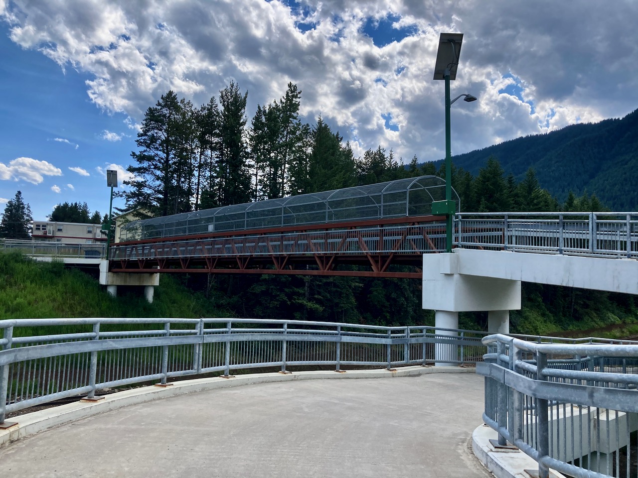
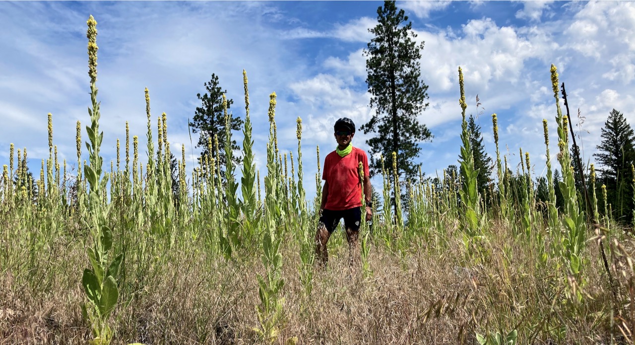
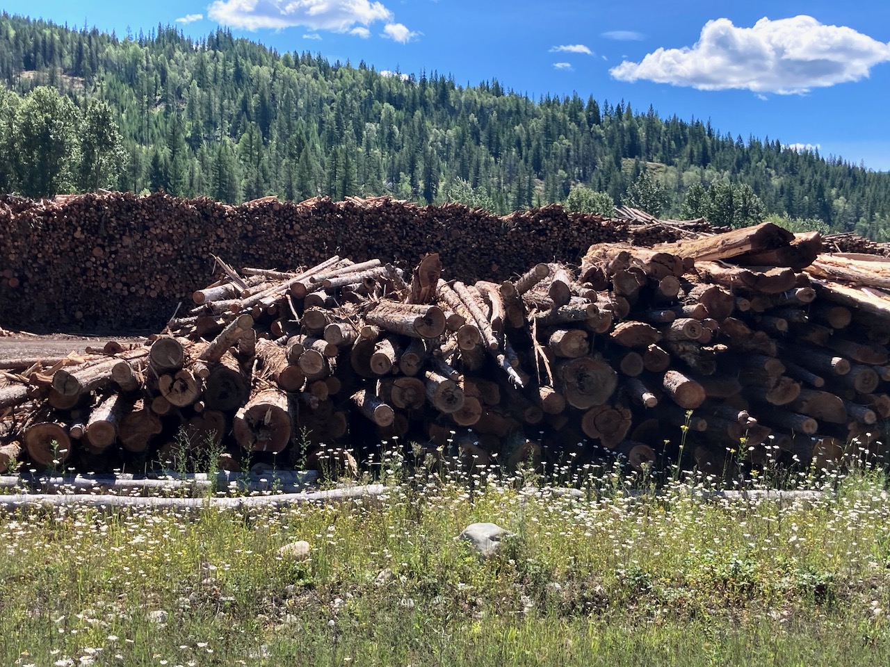
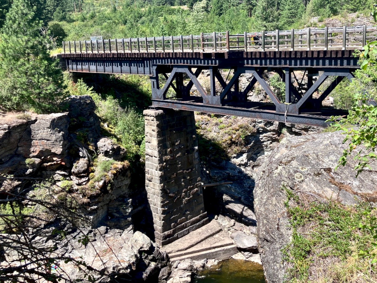
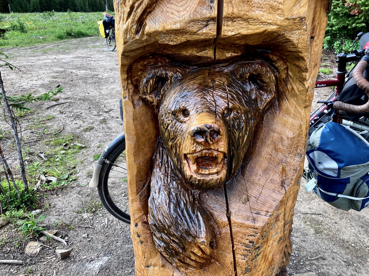
It’s an active logging area, however.

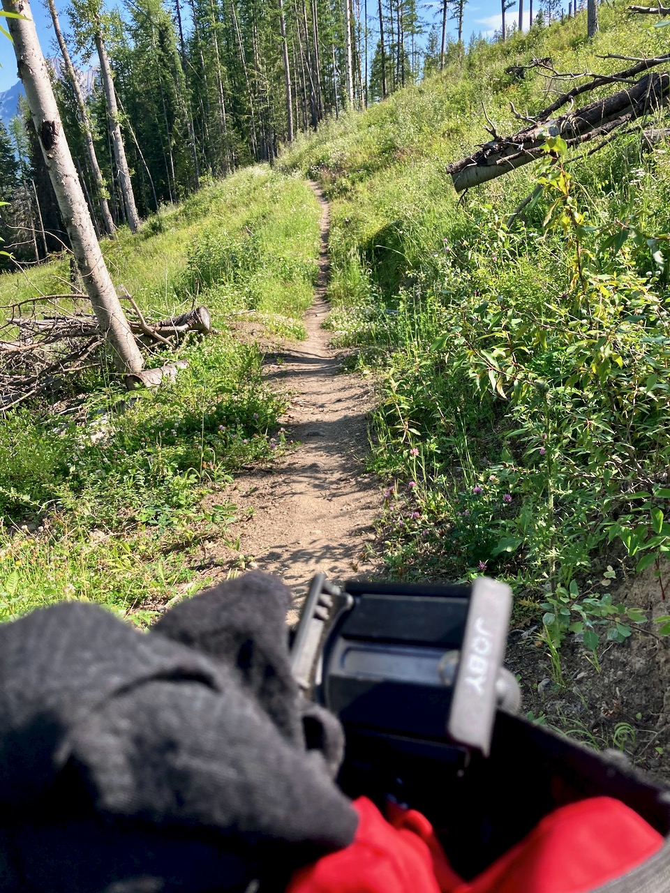
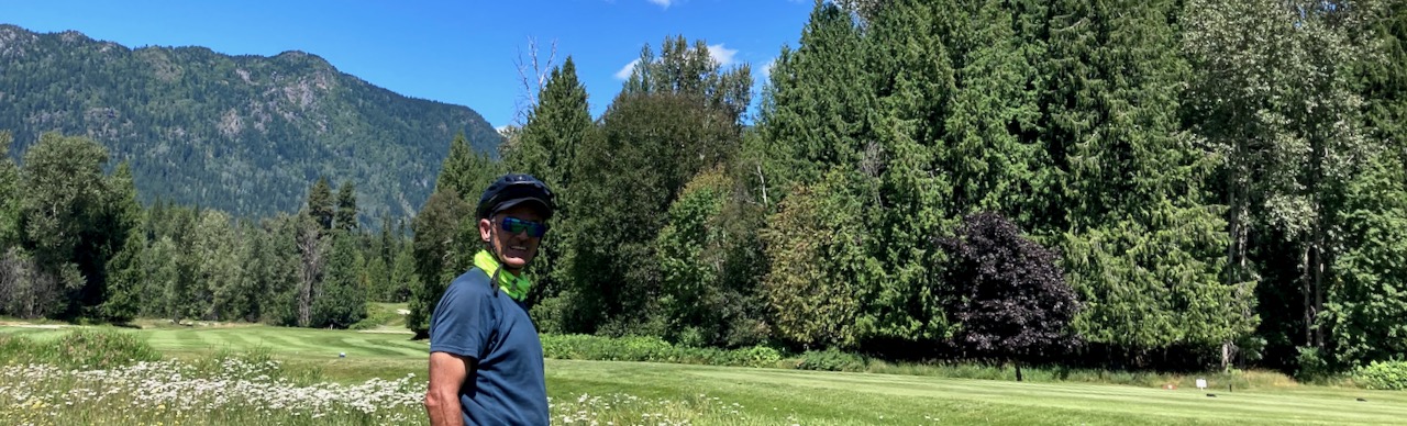
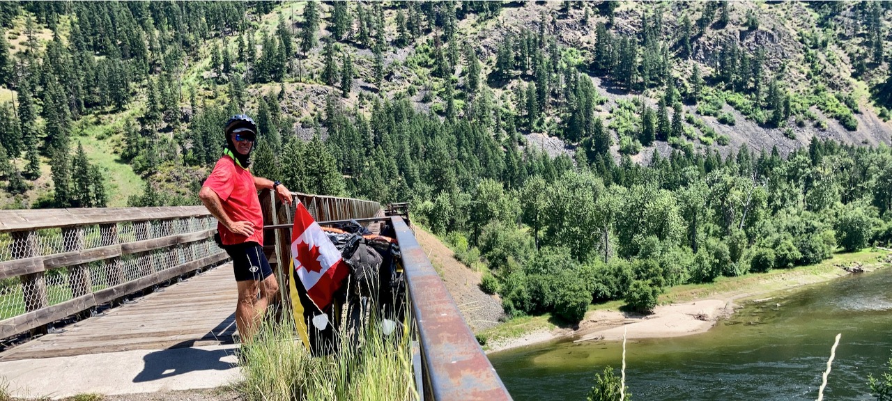
I rejoined the couple who convinced me to try this route. A combination of cycling and pushing over the Continental Divide.

George had told me the crossing was fairly easy. And it was.
Still, we were relieved to get to the top.
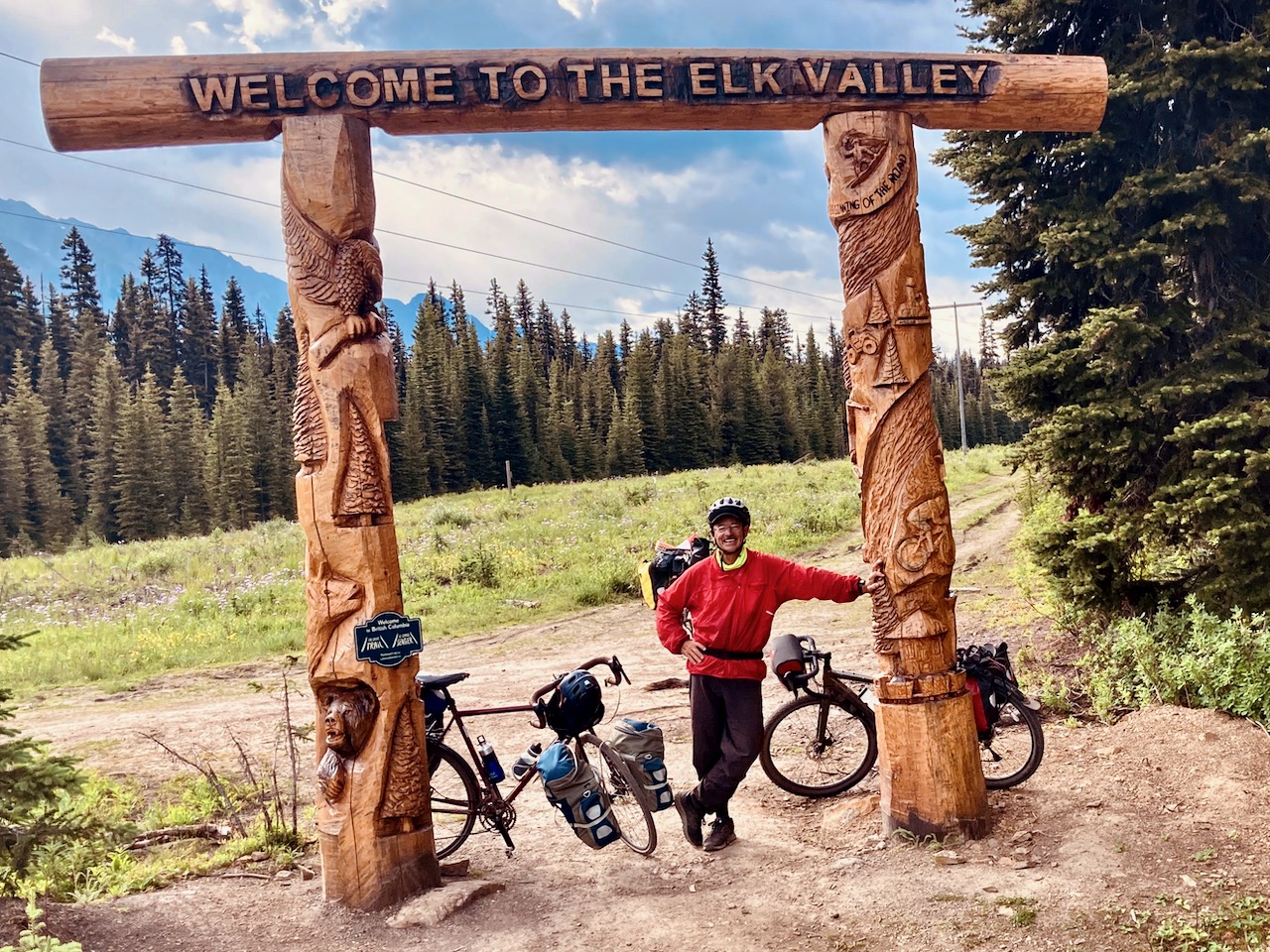
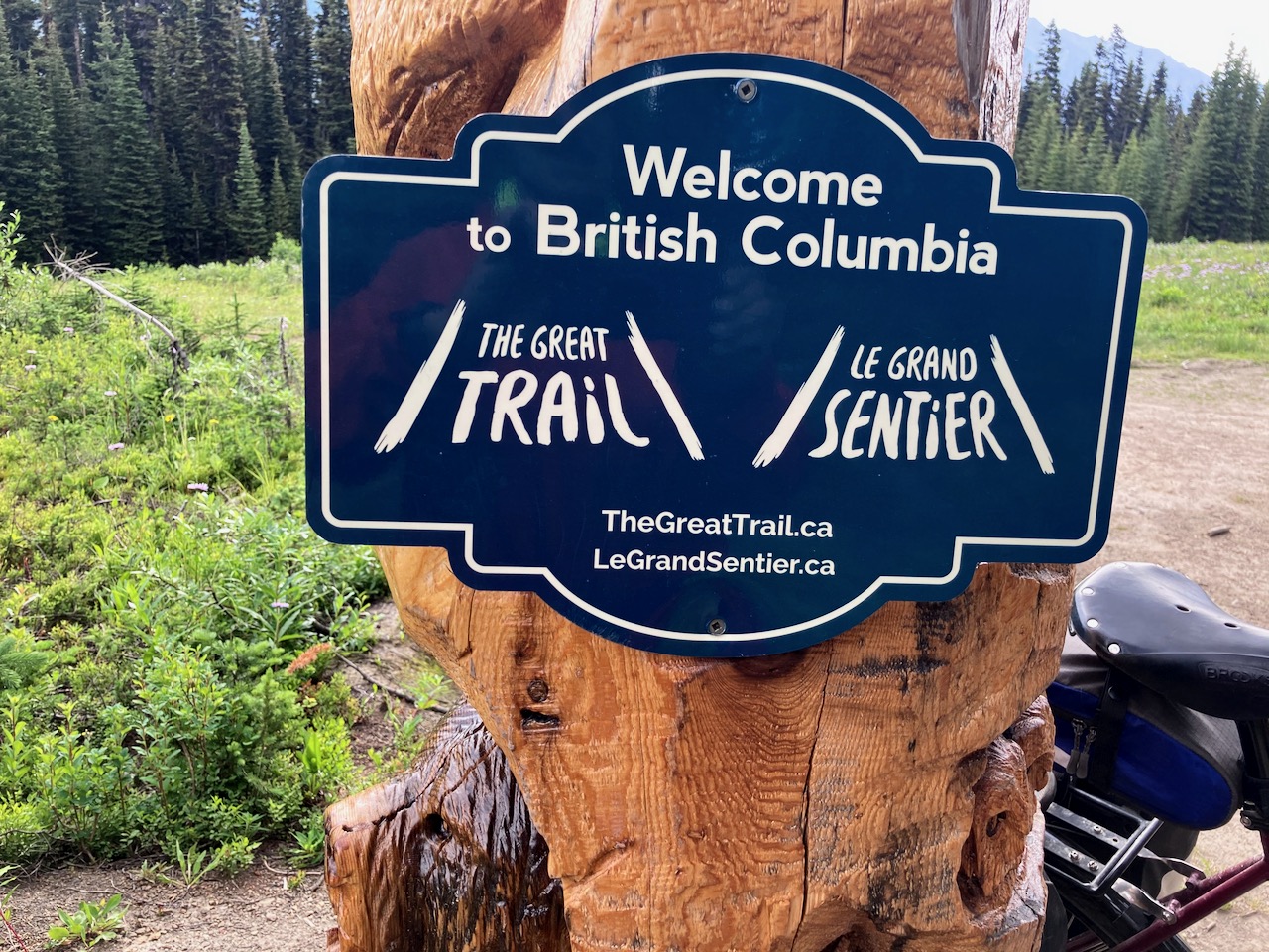
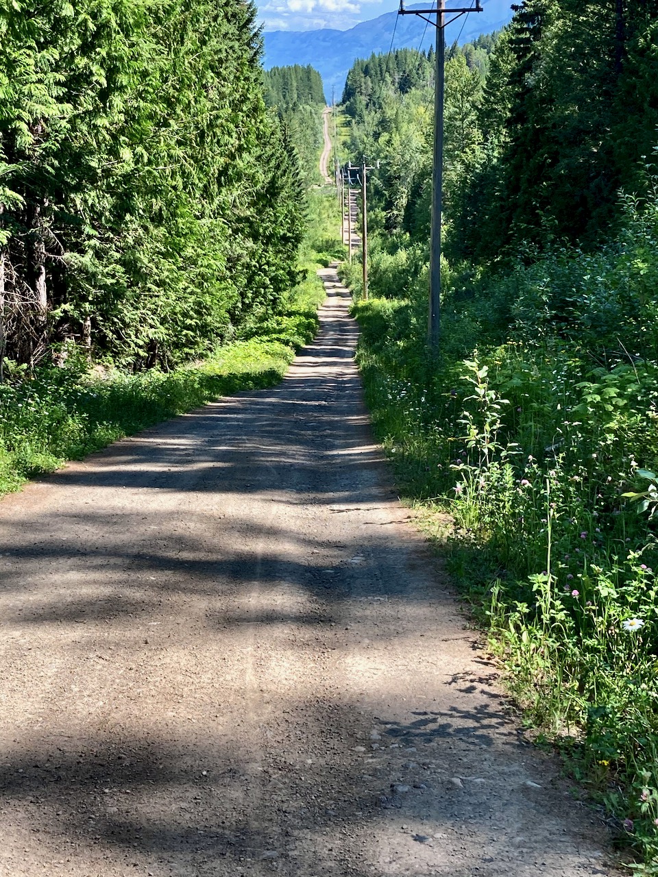
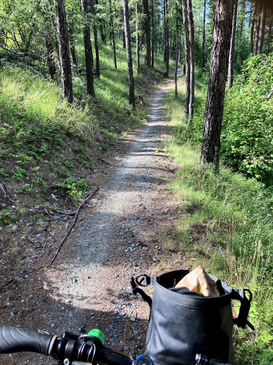
Cyclists take this Trans Canada Great Trail powerline route, much easier than the alternative Elk Pass Trail most often used by hikers.

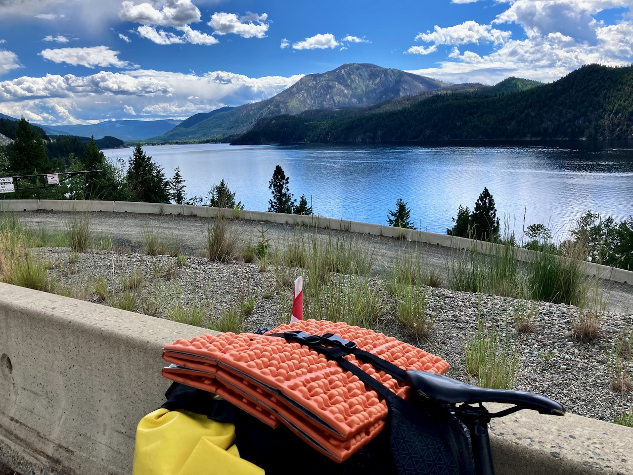
It was mostly downhill from there. A combination of fun paved bike paths in Peter Lougheed Provincial Park and busy tourist highway.
I planned to push hard all the way to Calgary. The end of my trip. It would be my record for distance covered in one cycling day.

Feeling great, I wasn’t surprised to see a big storm looming in the Calgary distance. My home town seems to be cursed in 2020.
When heavy rain began, I cycled harder.
When lighting appeared, however, I started to consider finding shelter.
Seems I was on the edge of a supercell thunderstorm.
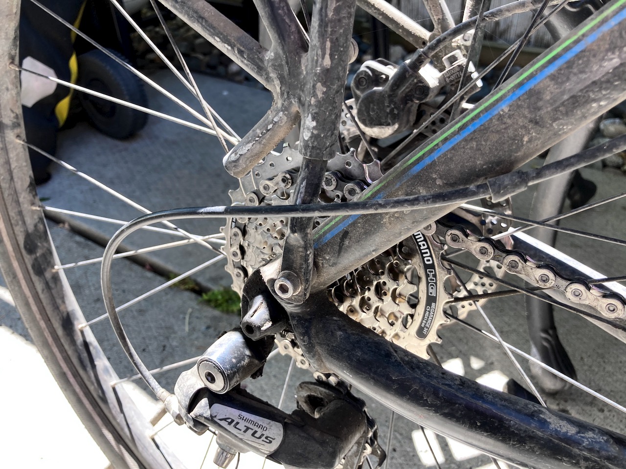
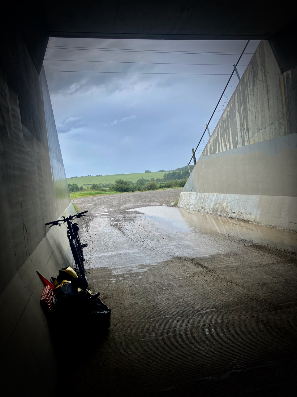
Finally, a flat rear tire on my puncture resistant 😕 new Marathon Plus.
I huddled under the Trans Canada Highway about 30km from Calgary until Brian drove out to rescue me. Bringing pizza!
“This is the way the cycling ends / Not with a bang but a whimper.”
Day 1 | 2 | 3 | 4-5 | 6 | 7 | 8 | 9 | 10 | 11 | 12 | 13 | 14 | 15 | 16 | 17 | info