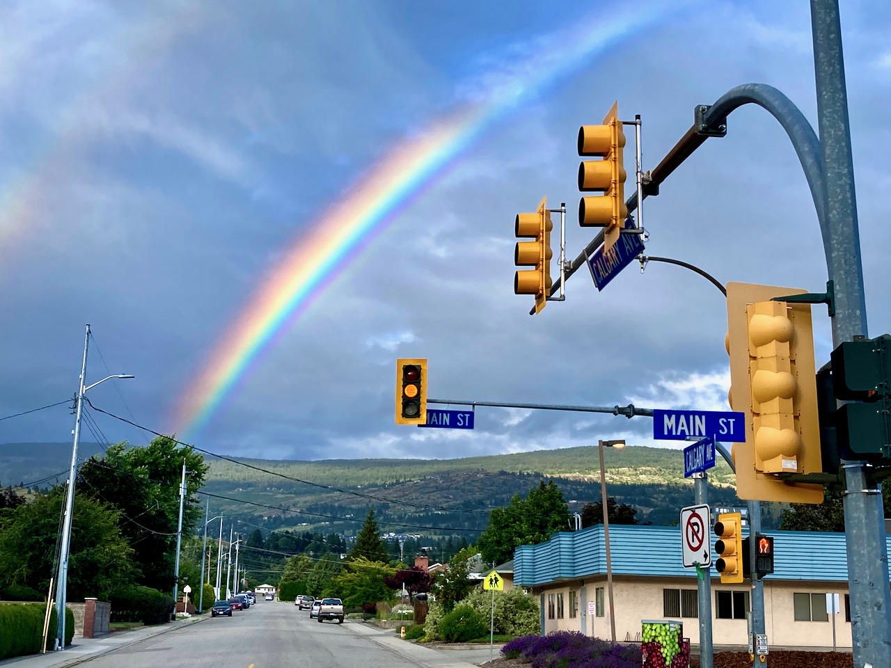
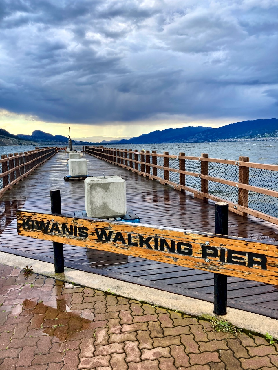
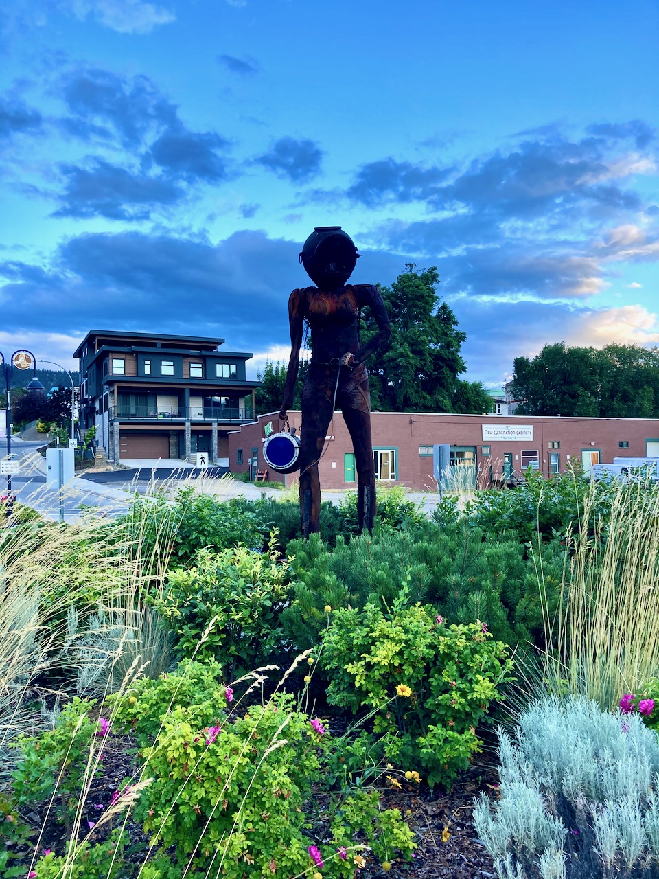
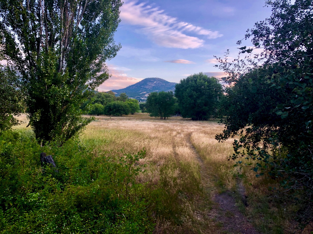
I lost my iPhone X while rocking downhill from Summerland to Penticton.
It must have bounced loose from my hip holster. Damn Otterbox Defender.
UPDATE: I got the phone back 18-days-later. The awesome Find My Phone app located it in a warehouse in Penticton. Someone had found it on the street and taken it to work.
Friends from Kelowna had to drive to Penticton to pick it up. Mail it to my Calgary address via FedEx.
Near end-of-life, I was using that phone for photo/video while doing everything else on my new iPhone SE 2020.
For the rest of the cycling trip, I used just my SE.
The weather steadily improving, I enjoyed these 2 days.
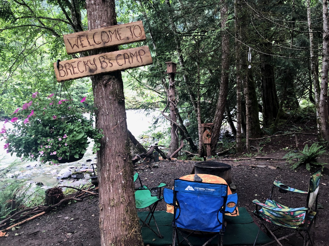
I camped near Thalia, a lovely and quiet area close to Vancouver.
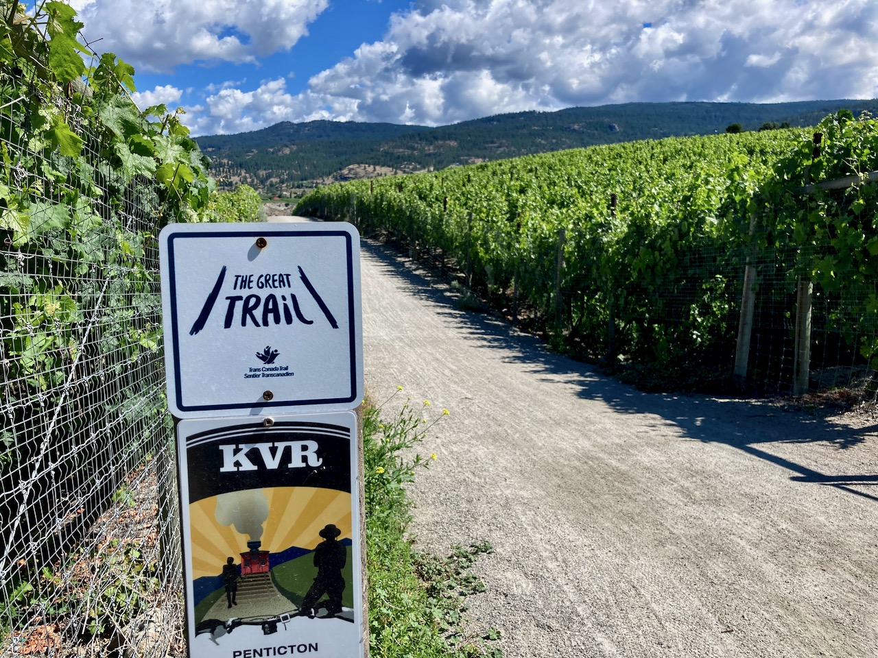
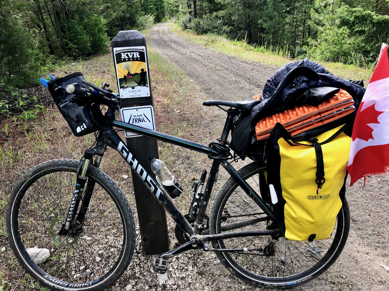
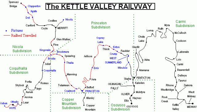
From Thalia to Princeton I took a combination of paved very quiet roads and the Kettle Valley Rail Trail.
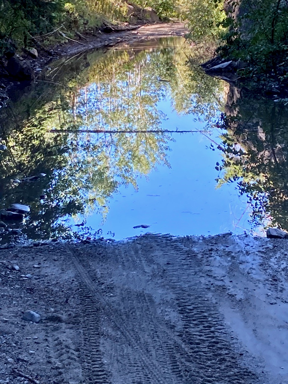
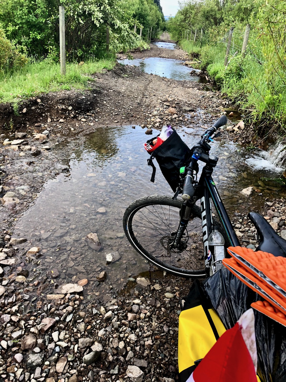
I was surprised to see so many puddles on the KVR.
In Princeton — on the advice of other cyclists — I opened my never used Ride with GPS app and somehow got it to work.
At this point I’m not sure if I’m on a free month or subscribed for the year.
Ride with GPS is awesome, however, compared with the crappy official Great Trail app.
July 11, 2020 – Princeton
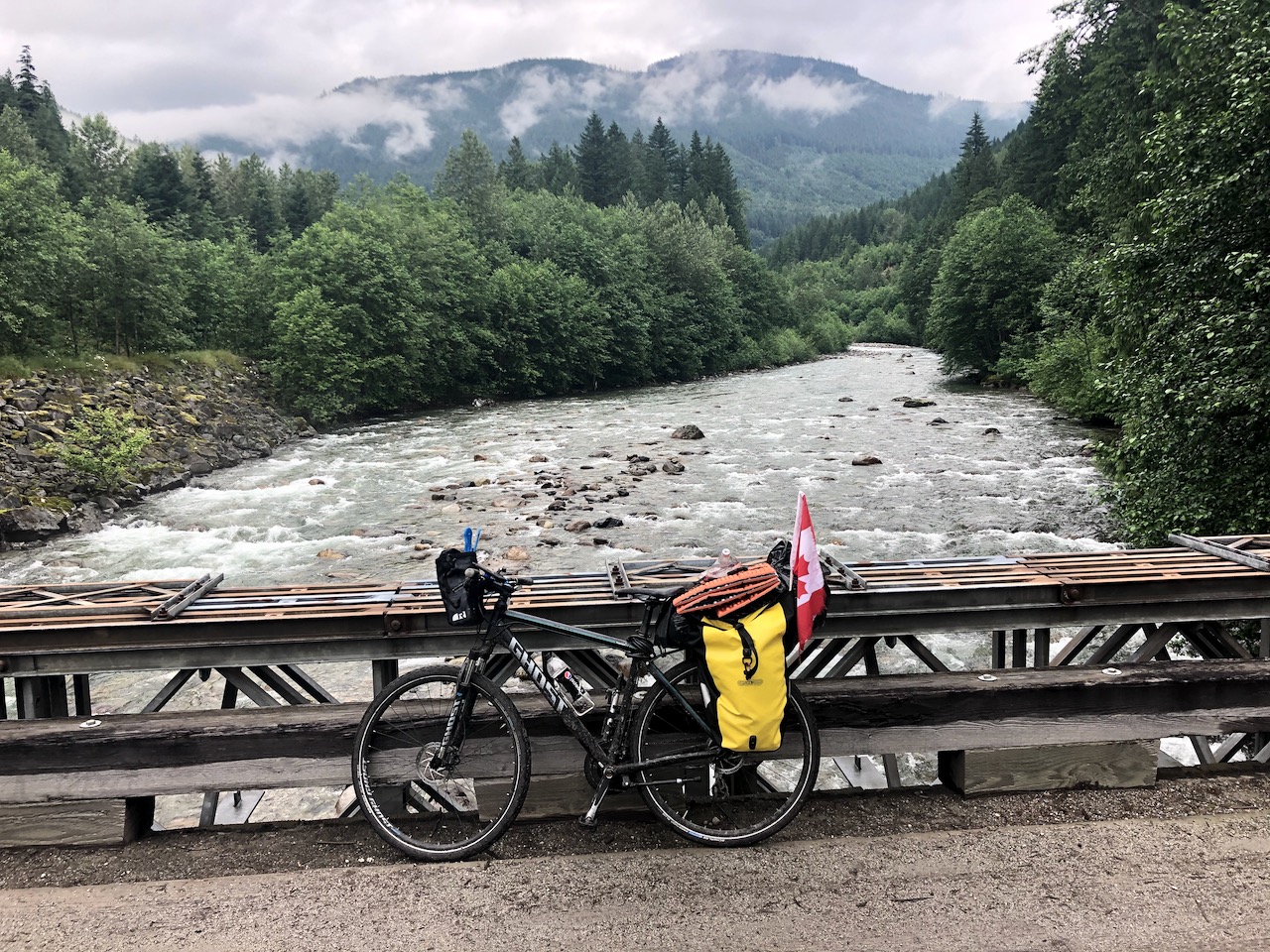
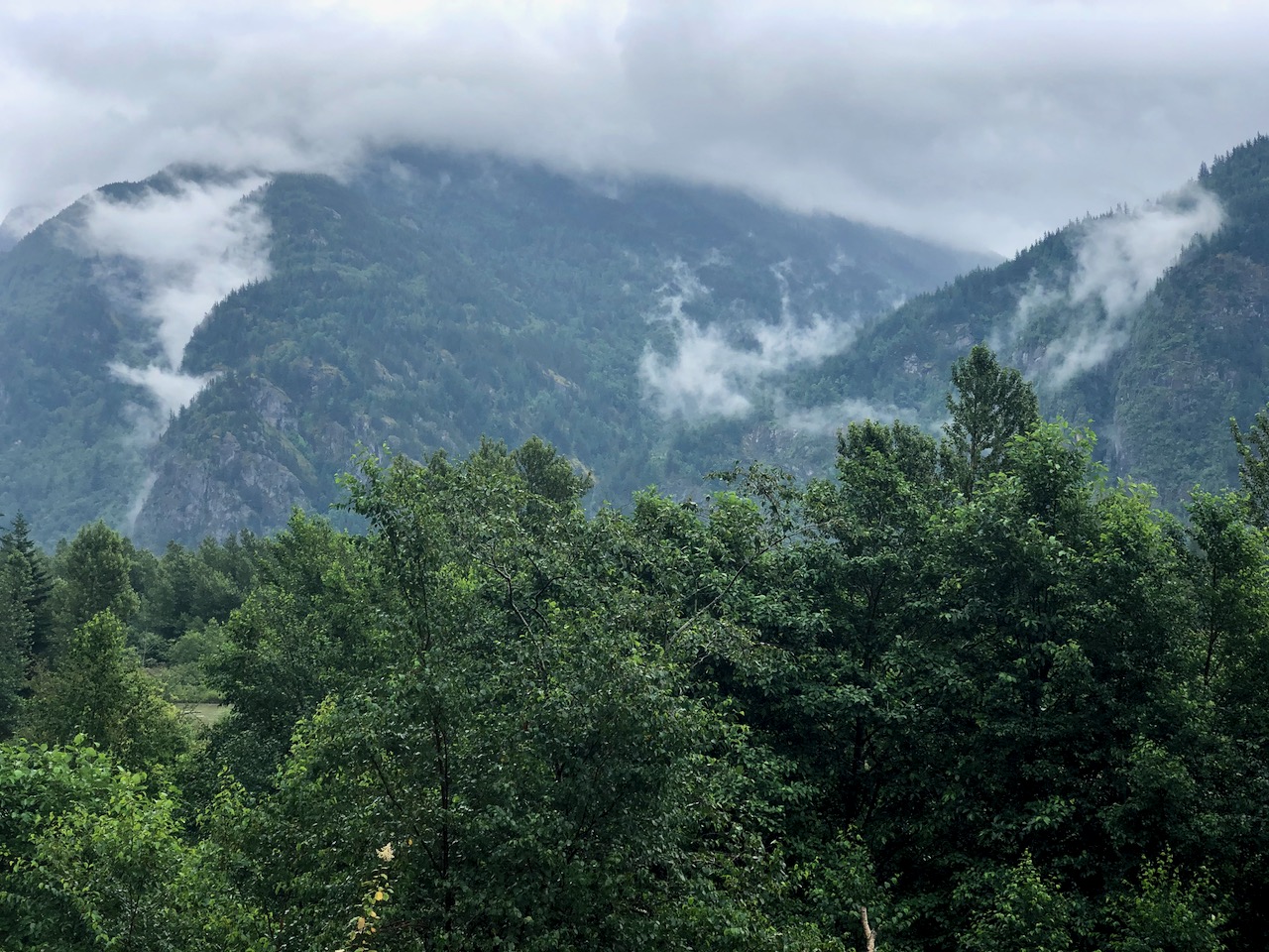
Cycling from Princeton north was lovely.
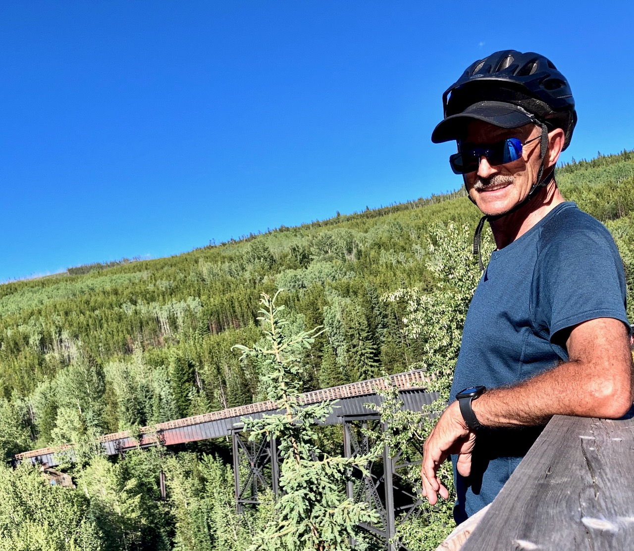
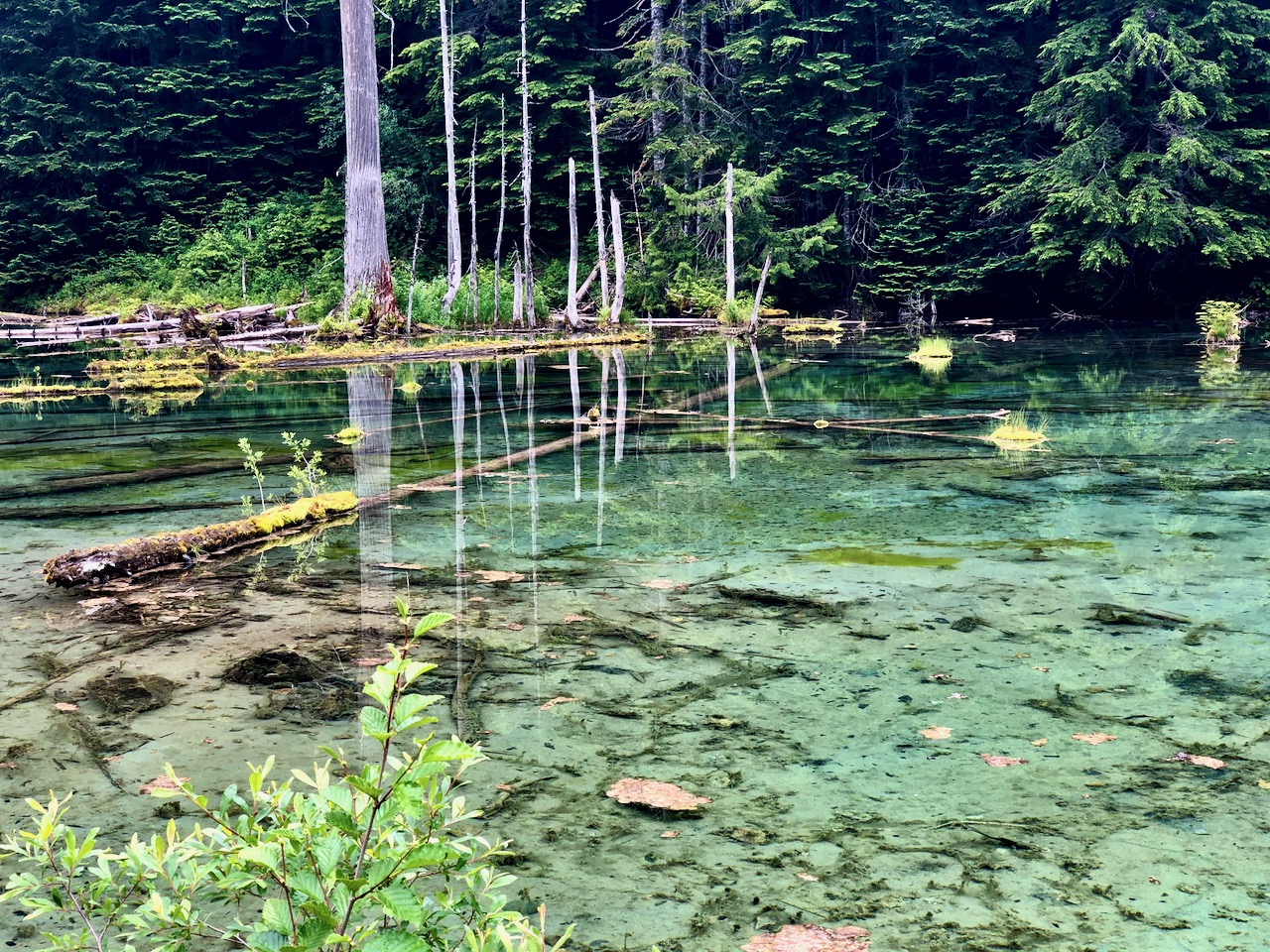
The first high bridge. Several more tunnels. Lovely lakes.
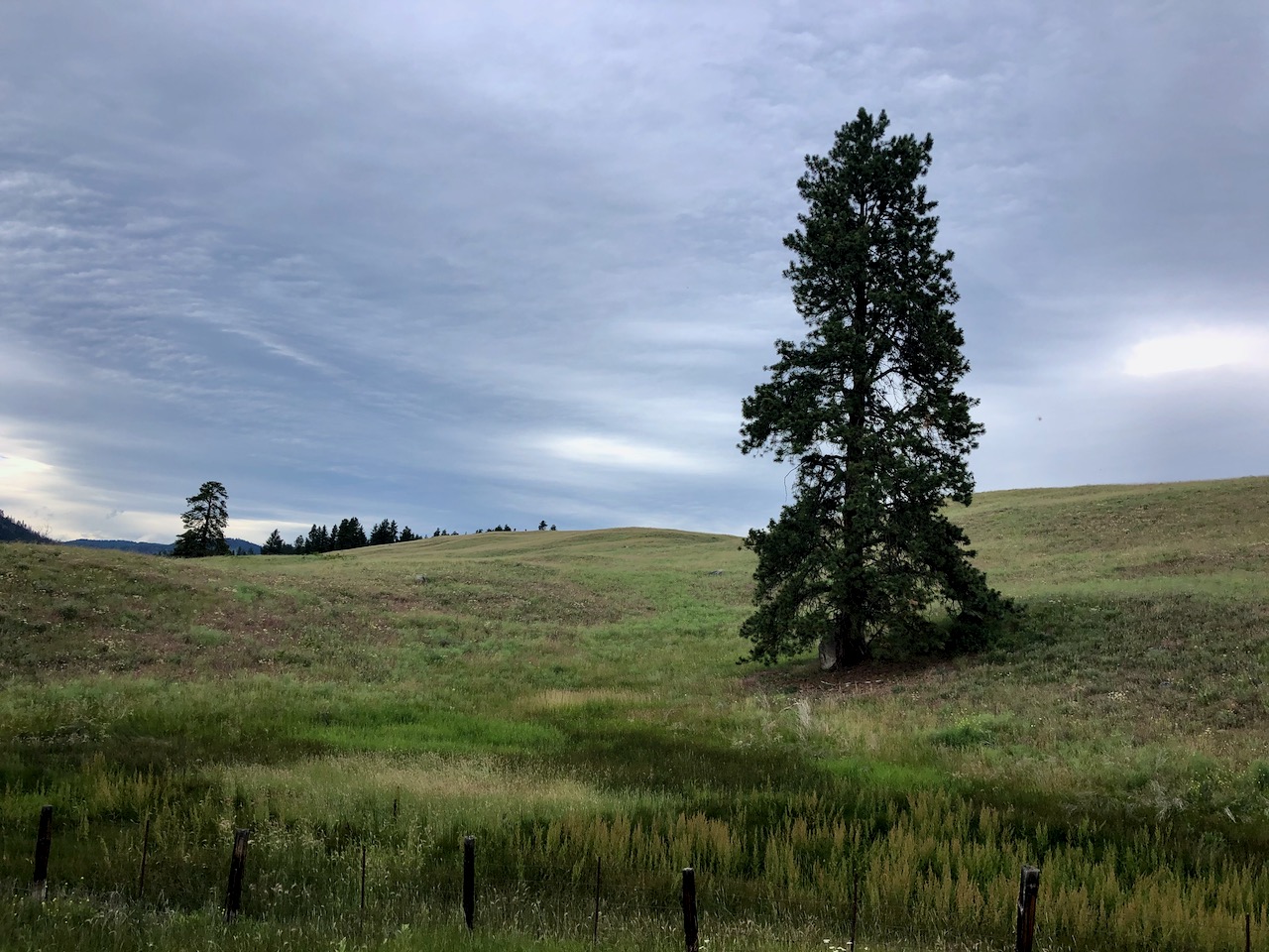
Lovely lands.
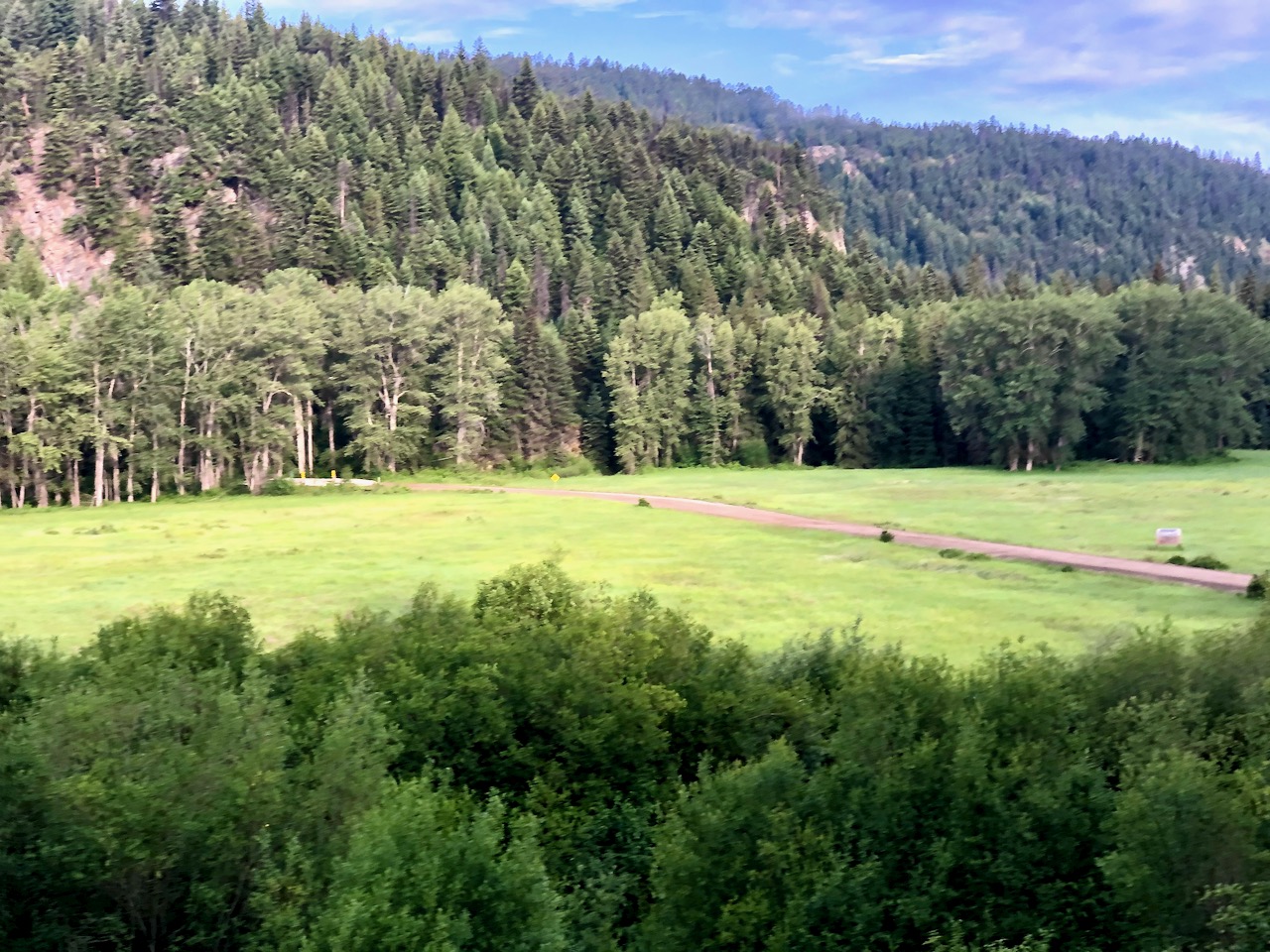
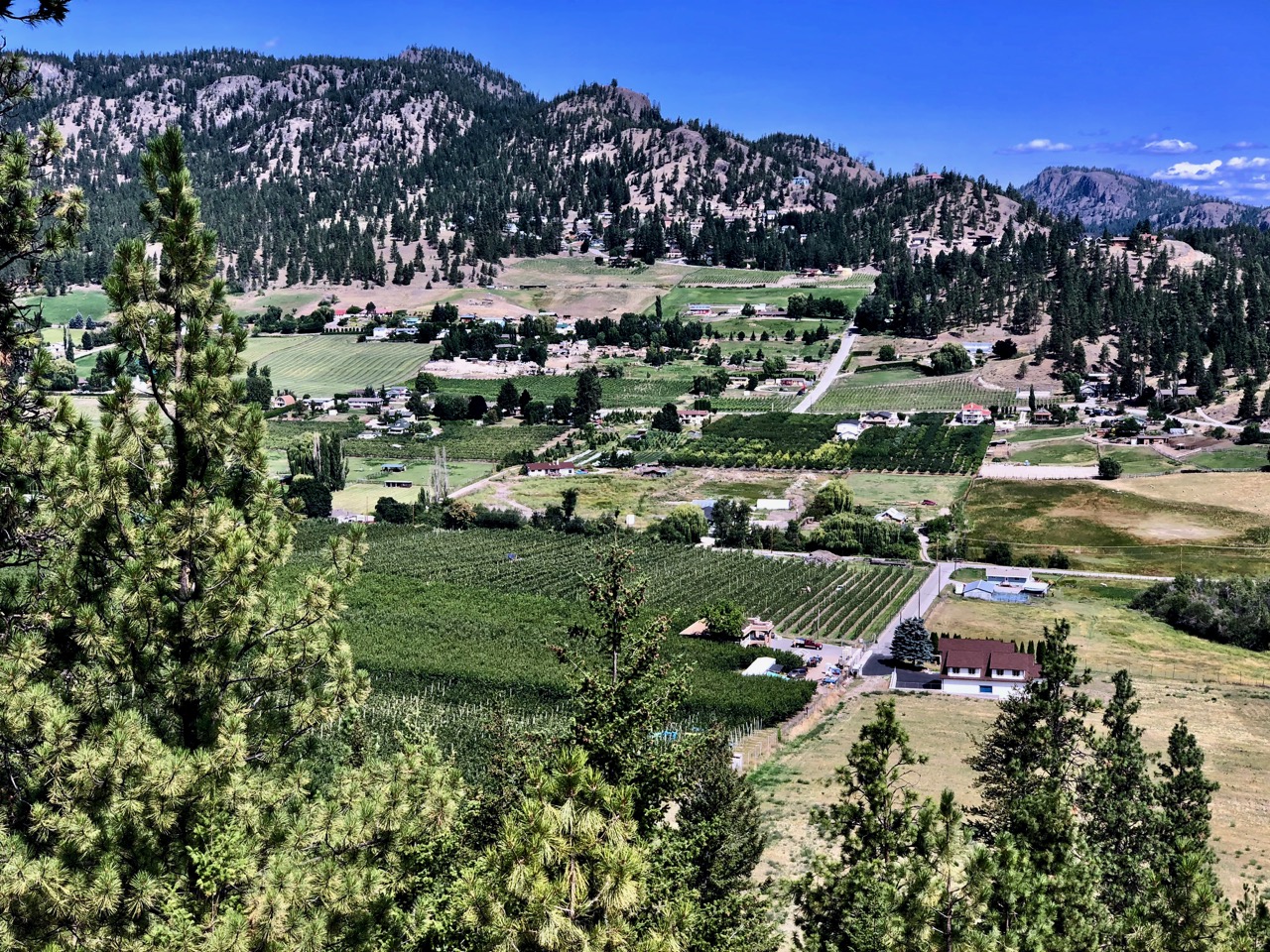
I really like the Summerland area and would be happy to sit back drinking local wine. Enjoying these kinds of views.
I cycled around the pretty town of Penticton during the evening as wind raised.
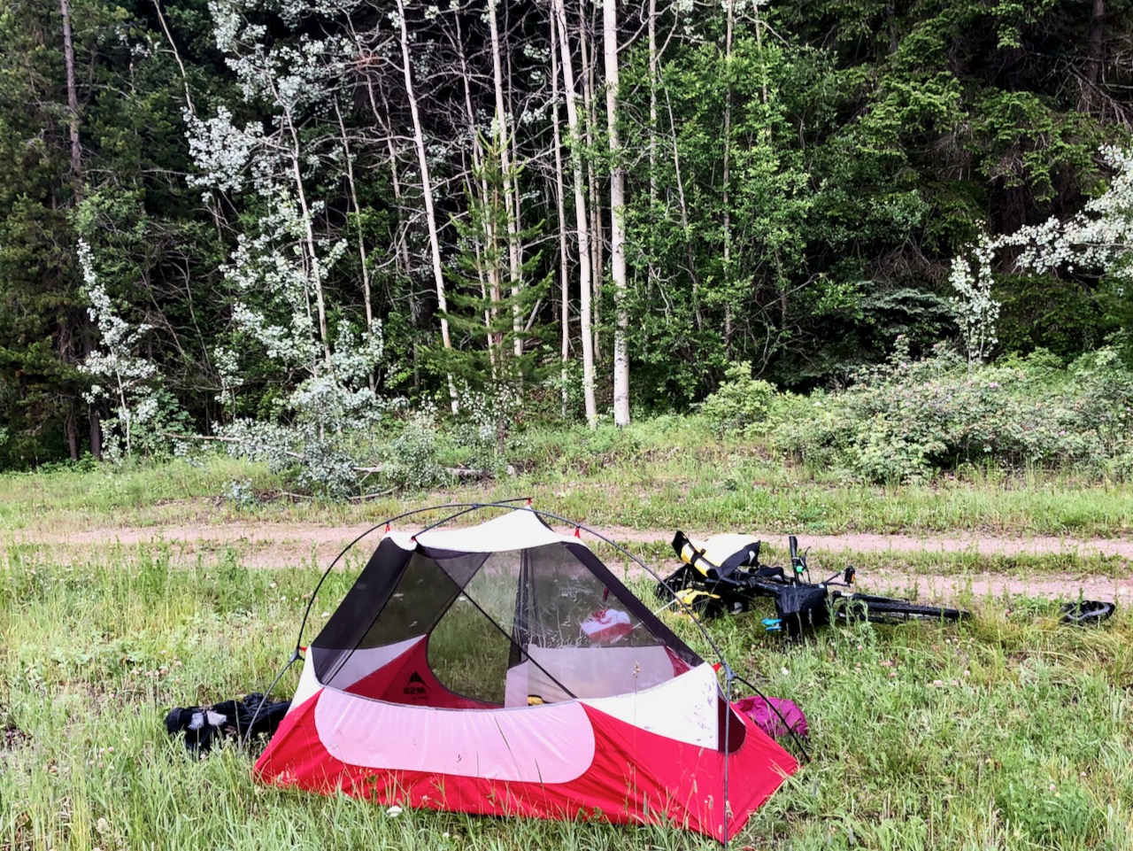
I had found a good spot near Penticton last year. Set up my tent there again this year.
Waking up near the Coquahalla highway, I wasn’t all that psyched. The worst section would likely be today.
Cycling the other way last year I had many problems, including getting lost for a couple of hours.
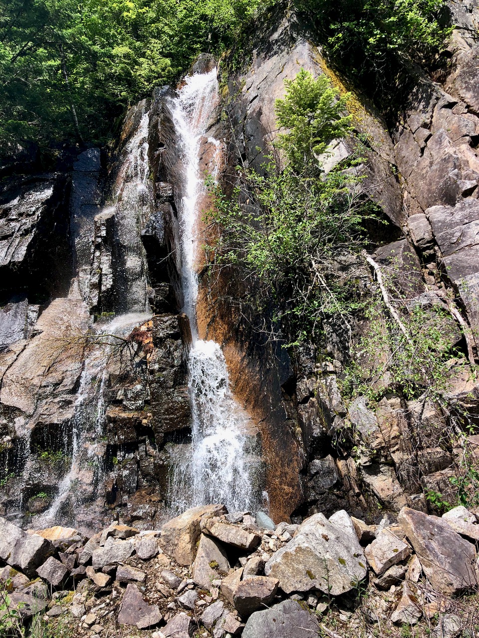
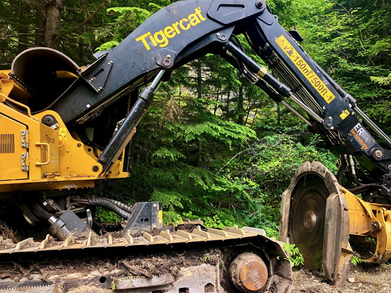
On the up side, there’s one gorgeous 22km section on logging roads — closed to motor vehicles — with plenty of highlights. One of the best sections of the Kettle Valley Railway trail, in fact.
As the Othello Tunnels near Hope were still closed due to COVID-19, it was nice to reach a couple here not yet closed due to avalanche.
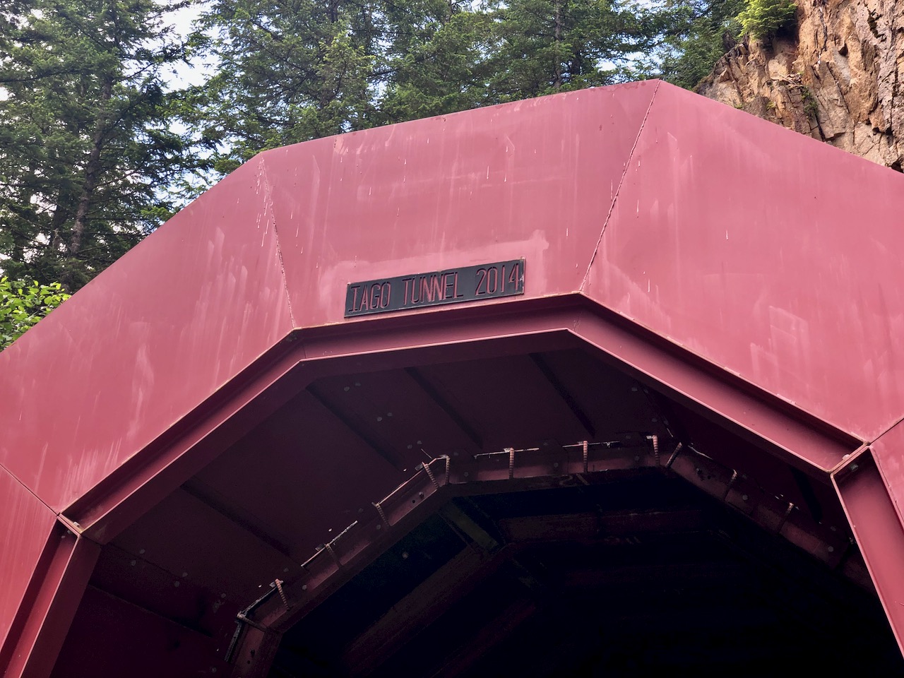
Engineer Andrew McCulloch named many Coquihalla subdivision stations after characters in Shakespearean literature, such as Iago, Romeo, Juliet, Lear, Jessica, and Portia.
This is the Iago tunnel, for example.
There’s a highway rest stop near Coquahalla Summit which is a must for every cyclist. The wurst vendor instantly warned me to skip the Great Trail through to Brookmere as it’s simply a mess in 2020.
That was confirmed by 3 women riding the other way. They told me it was the worst section they’d had in BC.
That was excellent advice.
I stayed on the Coquahalla up to the Coldwater turnoff.
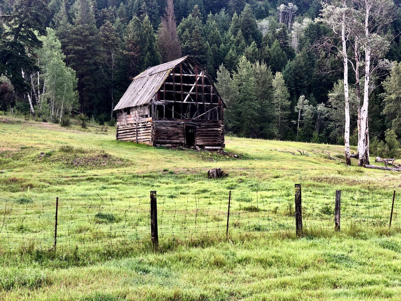
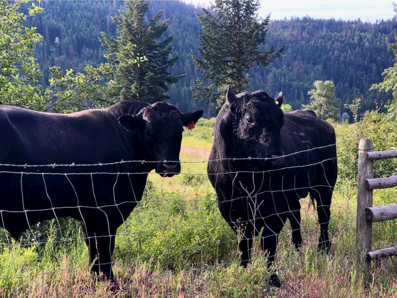
Finally off the highway, this area is little populated farm land.
Relaxing.
At Brookmere I joined the Kettle Valley Railway proper and will mostly stay on it through to Midway.
Rail trails are low grade. Often gravel. Sometimes washed out.
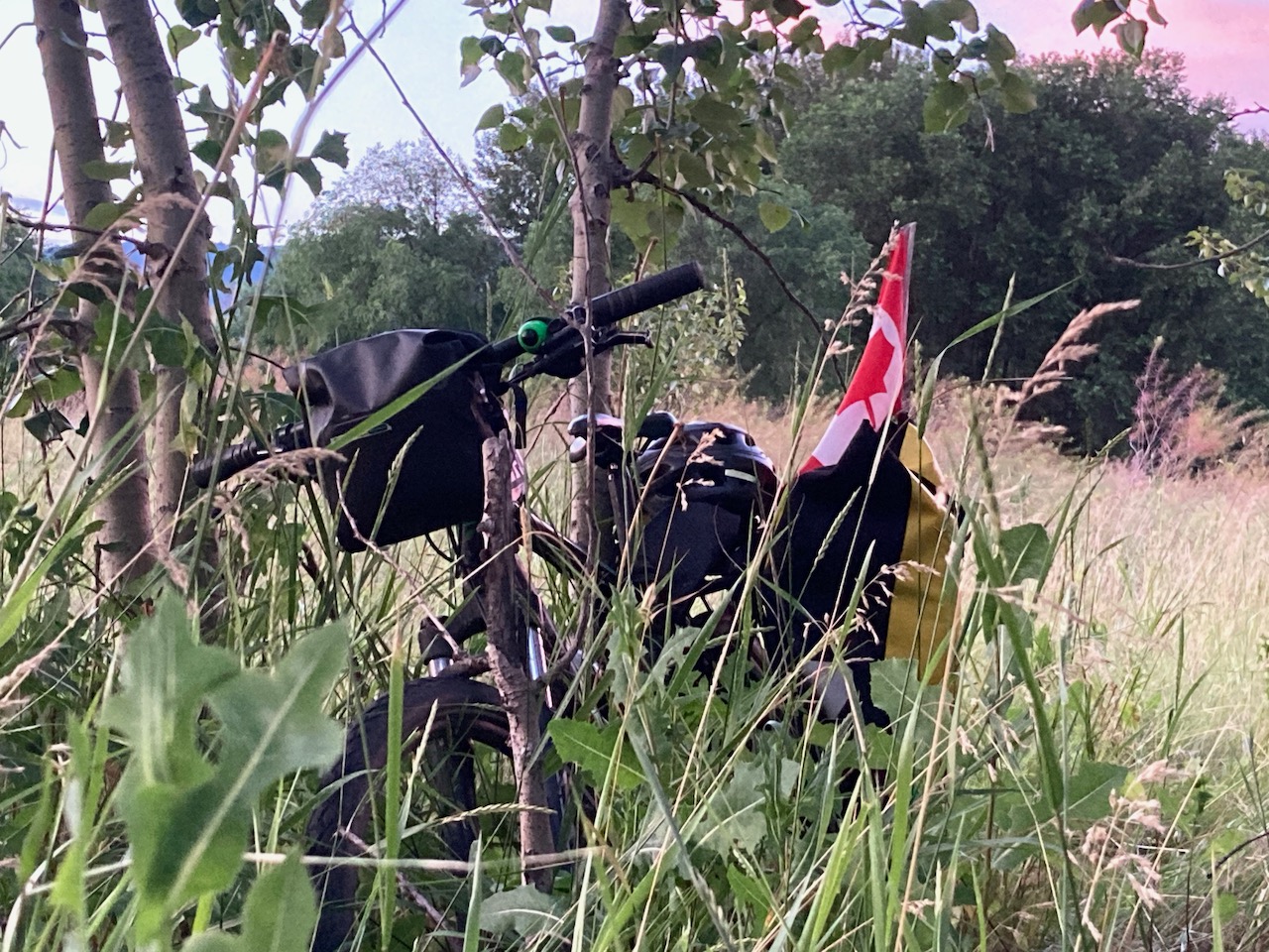
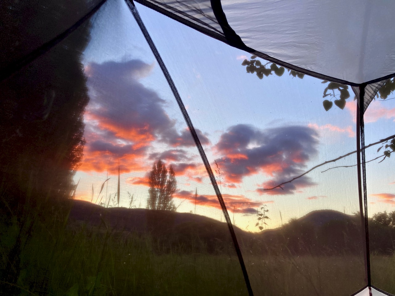
I camped close to Thalia. AGAIN pestered by mosquitoes.
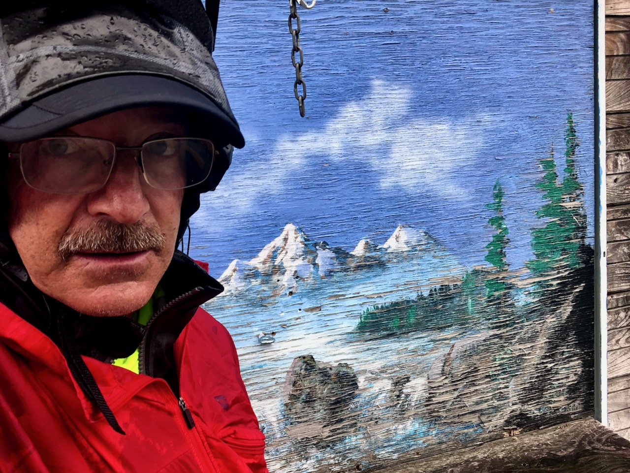
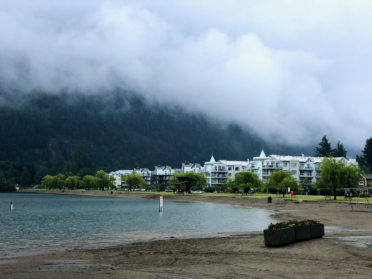
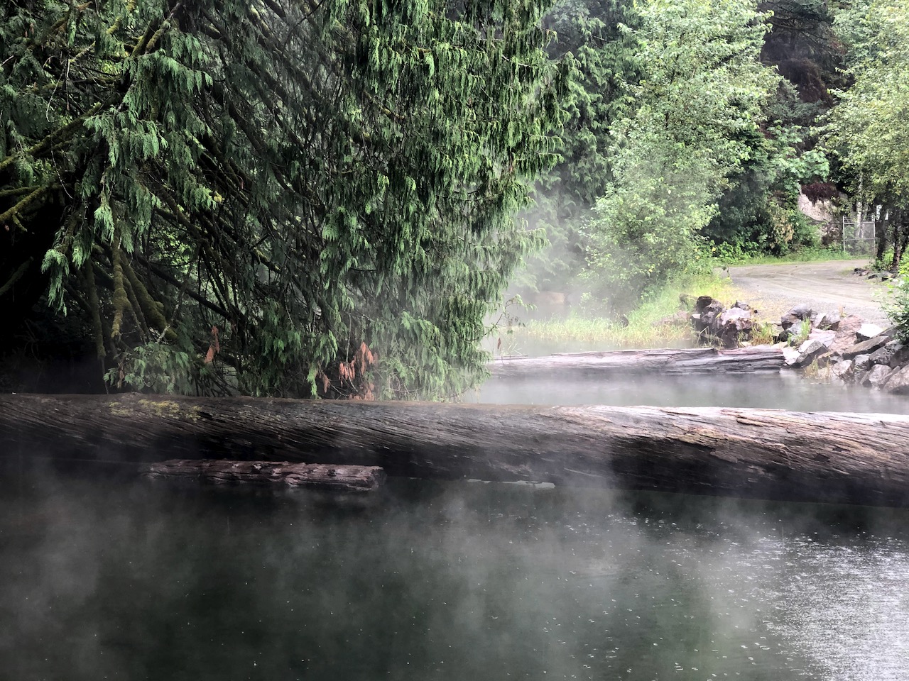
I’d camped at Harrison Hot Springs. It rained most of the night, continuing in the morning.
Stayed in the tent as long as I could.
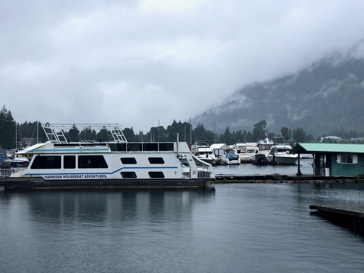
When the drizzle wouldn’t quit I finally got up for coffee. And wandered the nearly deserted resort.
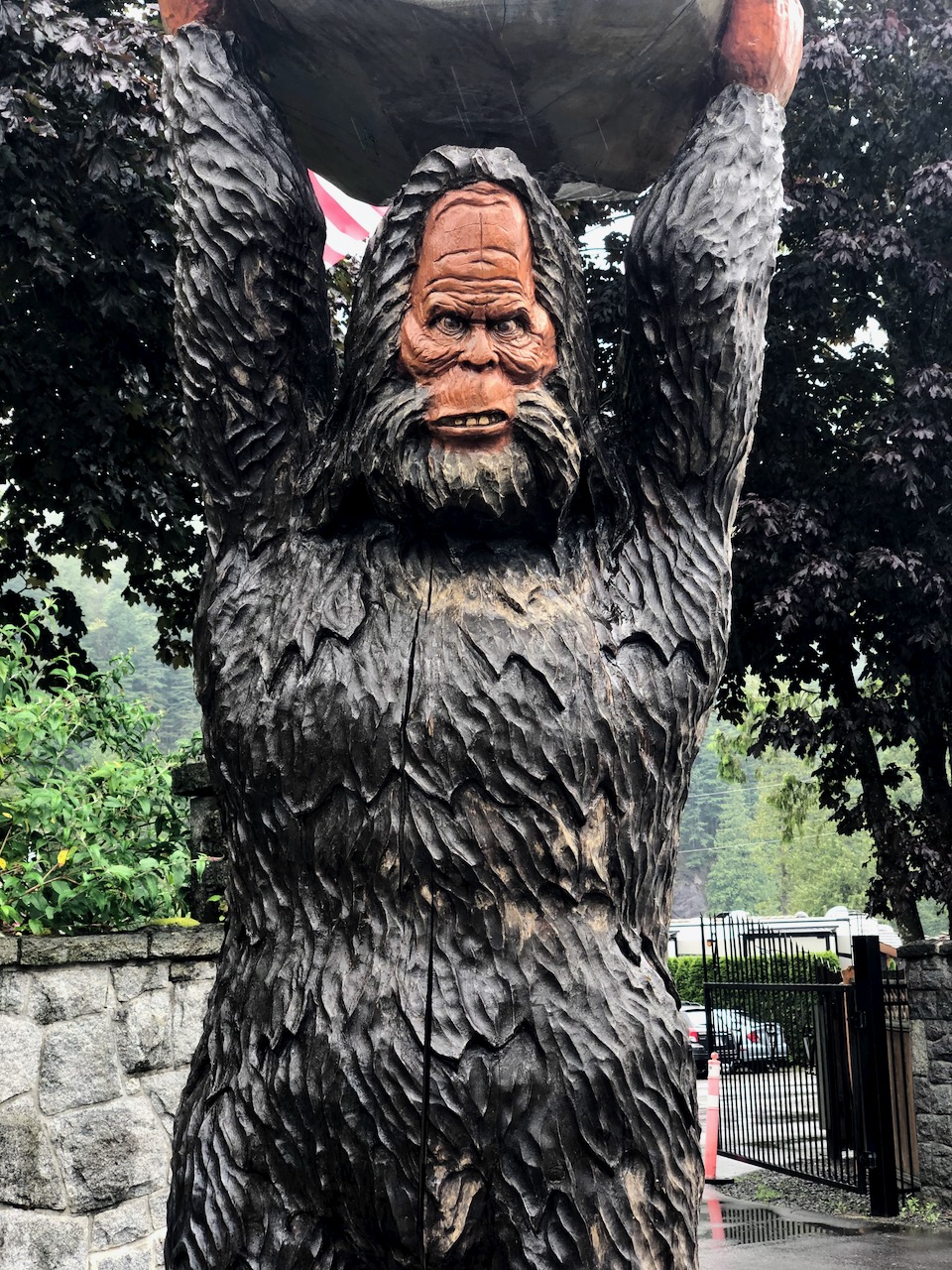
I was tempted to detour to Sasquatch Provincial Park, north of Harrison Hot Springs. It has two easy hiking trails and one interpretive trail. But my general plan is to hurry through the first half of my ride and go slow on the second.
I don’t mind riding in the rain, actually. It’s better than the heat.
This was the worst section of the Trans Canada Great Trail for me last year, cycling the other direction. I finally gave up on it and simply rolled down the highway into Hope.
This year, too, I often opted back to the busy highway. MANY TRUCKS!
A lot of people camp for free along this highway, however. Crown land.
Late in the afternoon I considered stopping at this friendly free campsite off the highway, but it was a little too public for my liking.
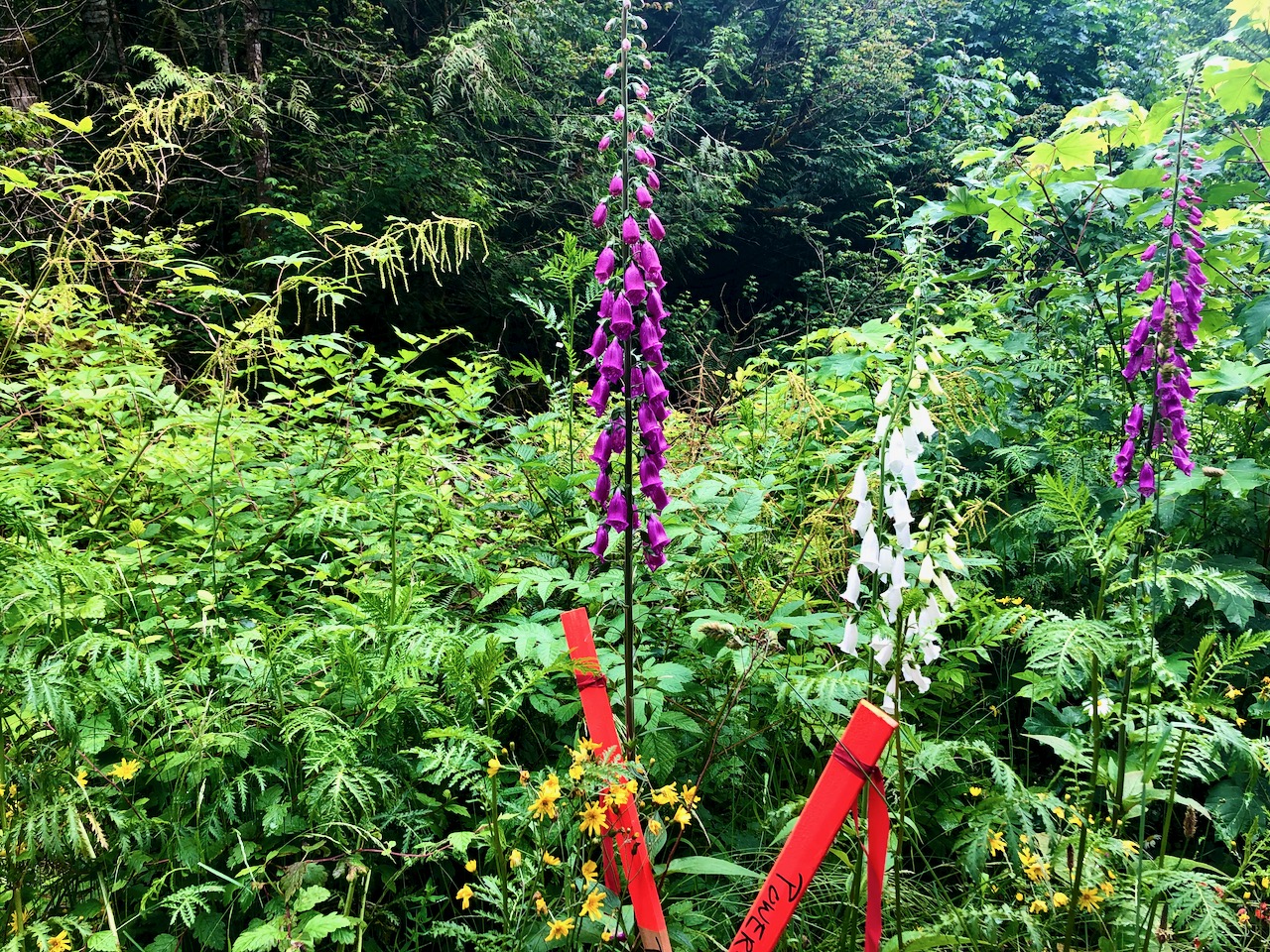
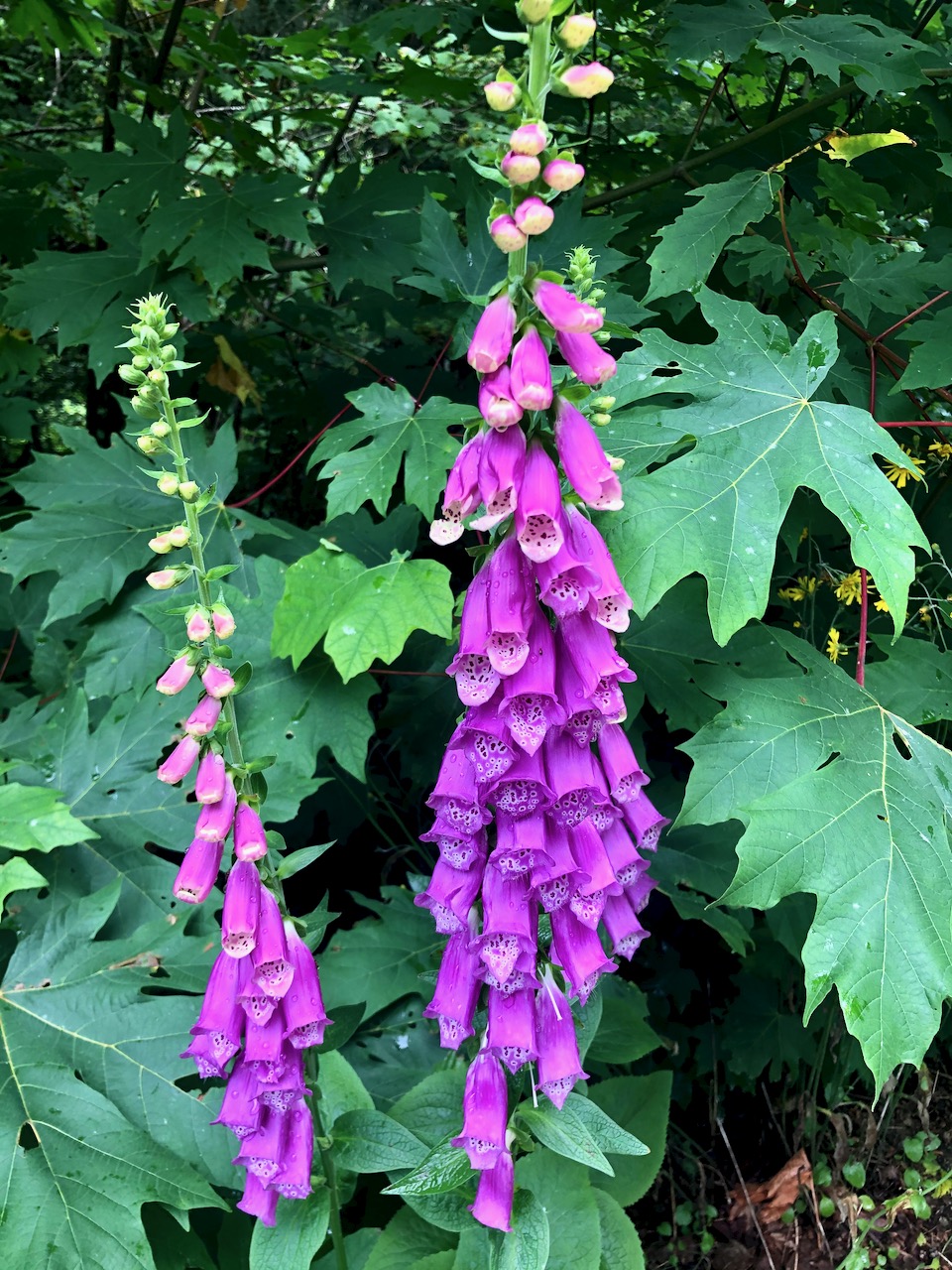
Most of the flowers are fading, but there are a few species still vibrant.
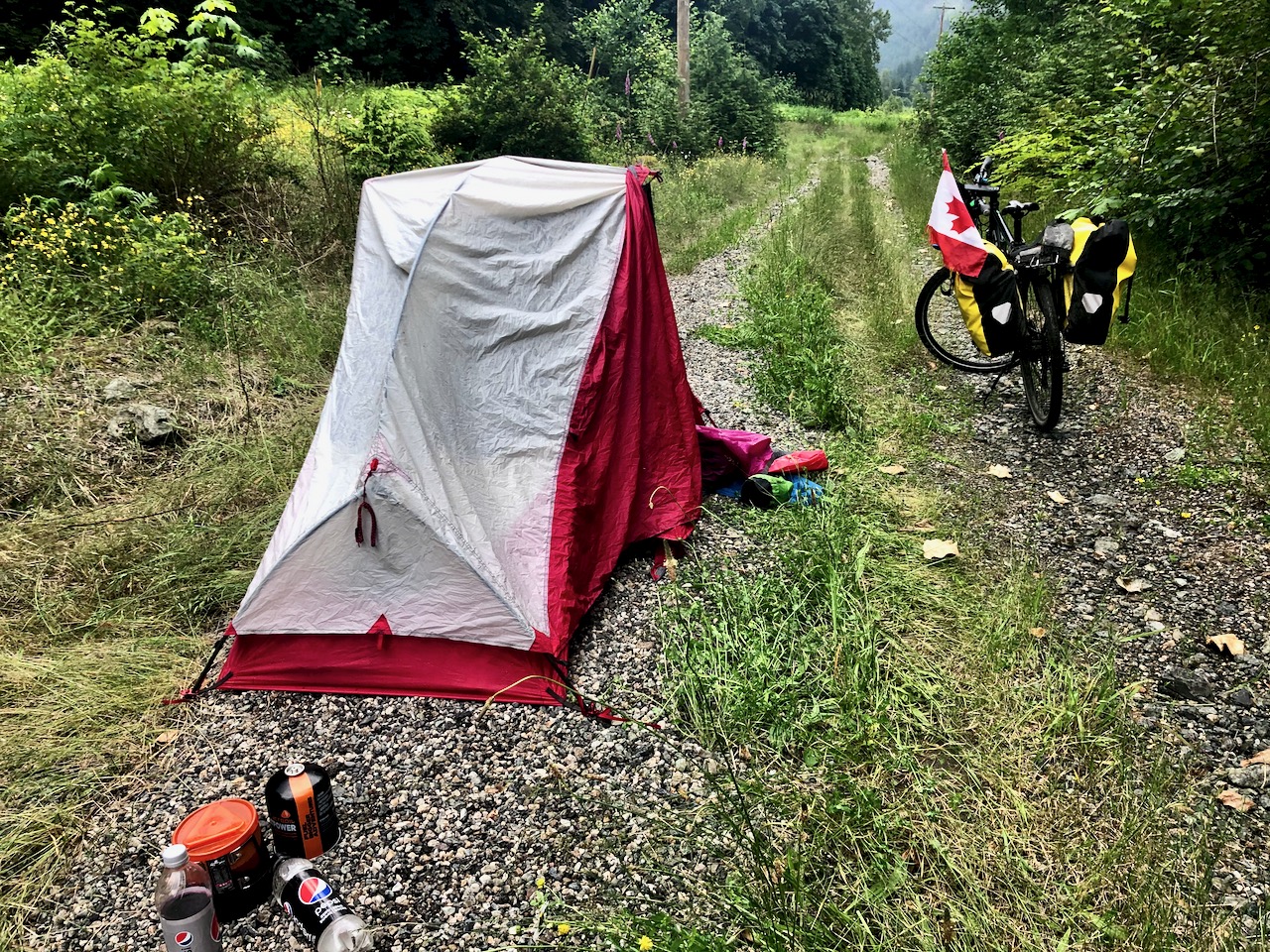
I finally found this secluded gravel bed. As it had rained off and on all day I wanted as dry a surface as possible.
After nearly 4 months in Parksville, Vancouver Island, I finally made for the mainland.
Alarm 4:40am.
Dad dropped me in Nanaimo July 8th to catch the 6:05 ferry to Horseshoe Bay.
I’d started my long cycling adventure last year out of Nanaimo on July 3, 2019.
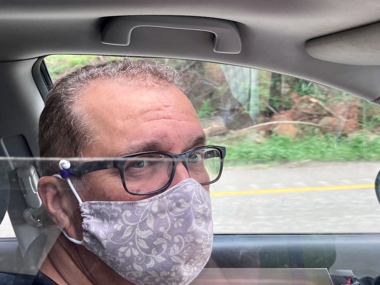
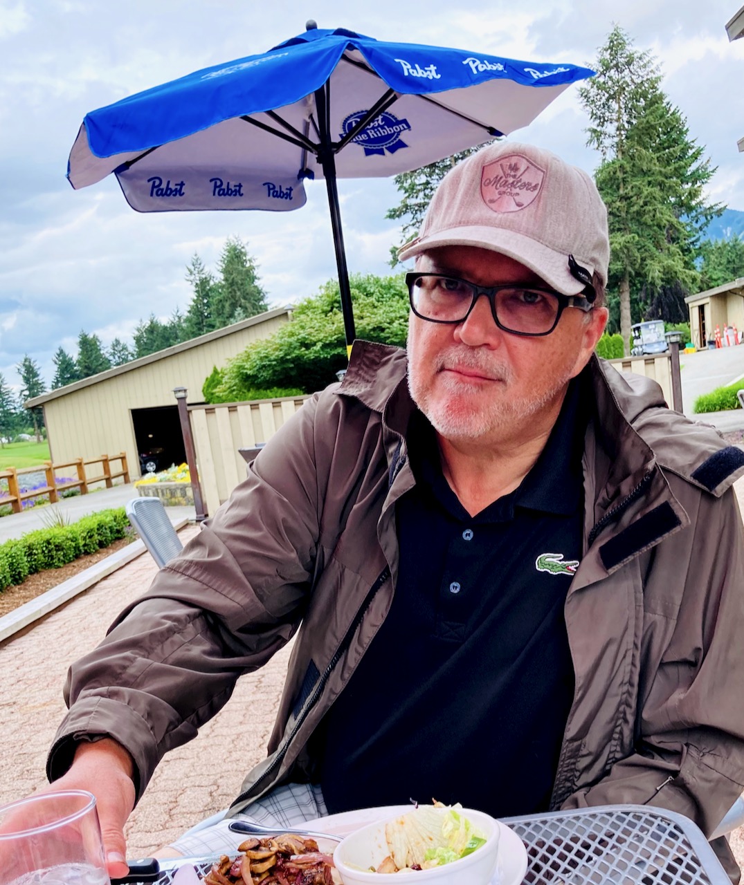
Rockin’ Ronnie picked me up and we headed for a Golf Course in Chilliwack that had been recommended. Can you tell he’s been living in dread Lynn Valley, North Vancouver, one of the first epicentres of COVID-19 in Canada?
Admire Ron’s hand-made plexiglass divider!
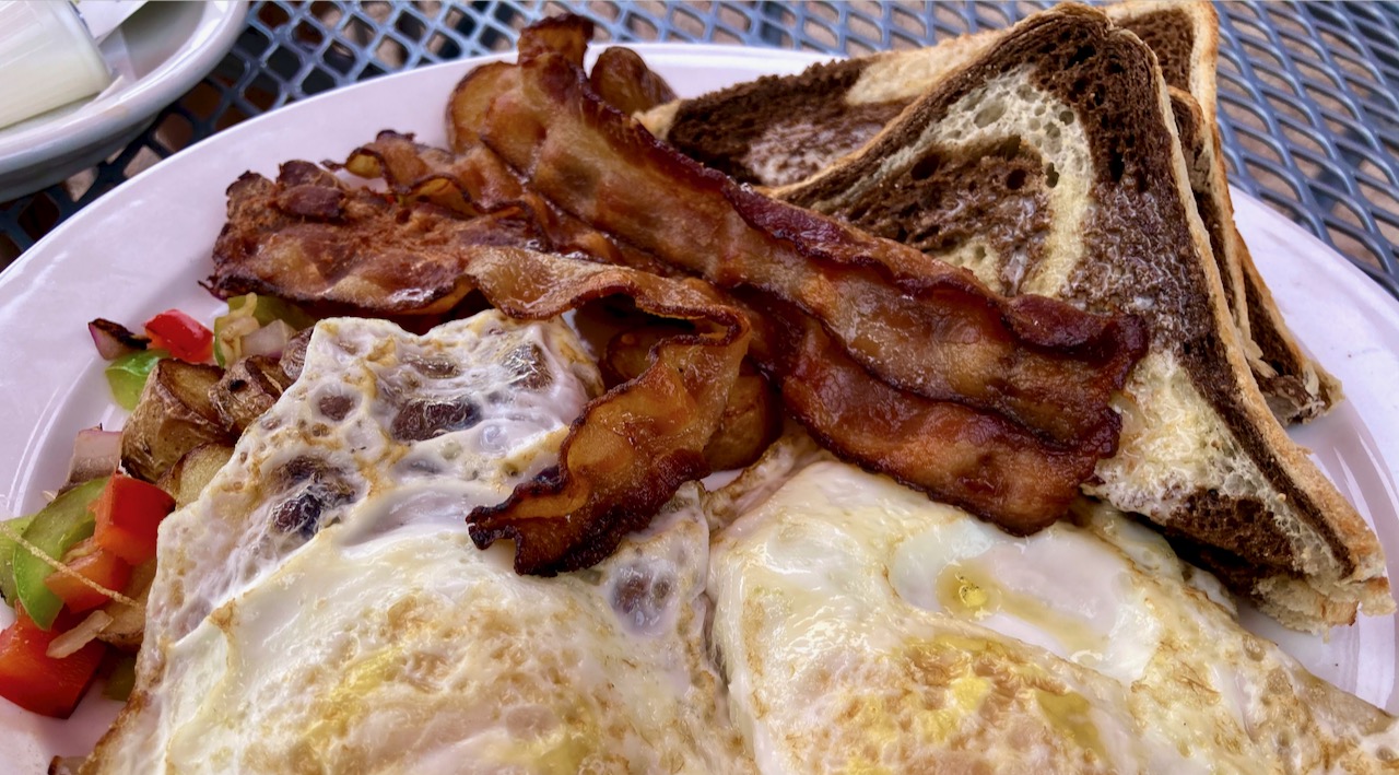
We had time to indulge in a big clubhouse brunch. I had classic bacon, eggs and coffee. Marble rye toast.
We hit the range. My practice swings were terrible, including a number of air balls. I hadn’t golfed in nearly a year.
Surprisingly I had a great round finishing with a score of about 98, which could have been worse if we hadn’t awarded gimme short puts. I had 1 Birdie, 3 pars. The best score of my life was 86 so this was a very good day.
Rockin’ scored 98, as well, and was pleased to be able to stay with me. 😀
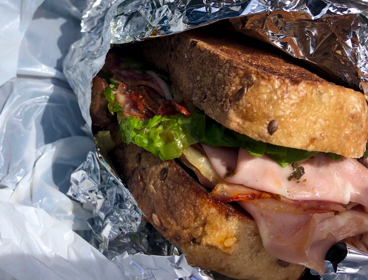
Instead of hitting the 19th hole, Rockin’ pulled out some gourmet sandwiches. We ate outside the wedding podium.
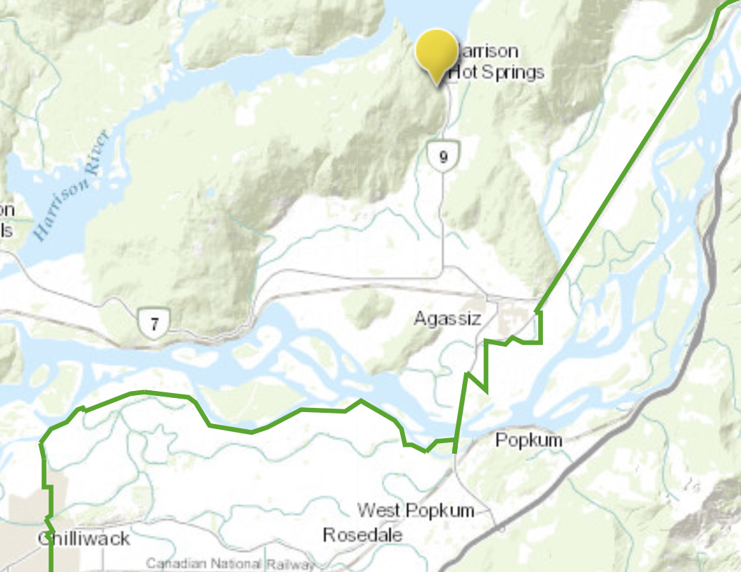
I started my ride from the course — missing the worst of greater Vancouver — arriving Harrison Hot Springs in about 4 hours.
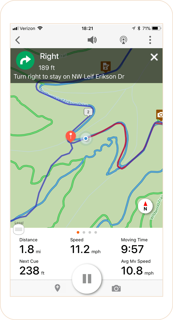
I used the lousy GREAT TRAIL app, sponsored by Keen, for navigation. The green line is the Great Trail.
I’d ridden the Great Trail in the other direction last year … and was still surprised to recall how lovely and interesting this section.
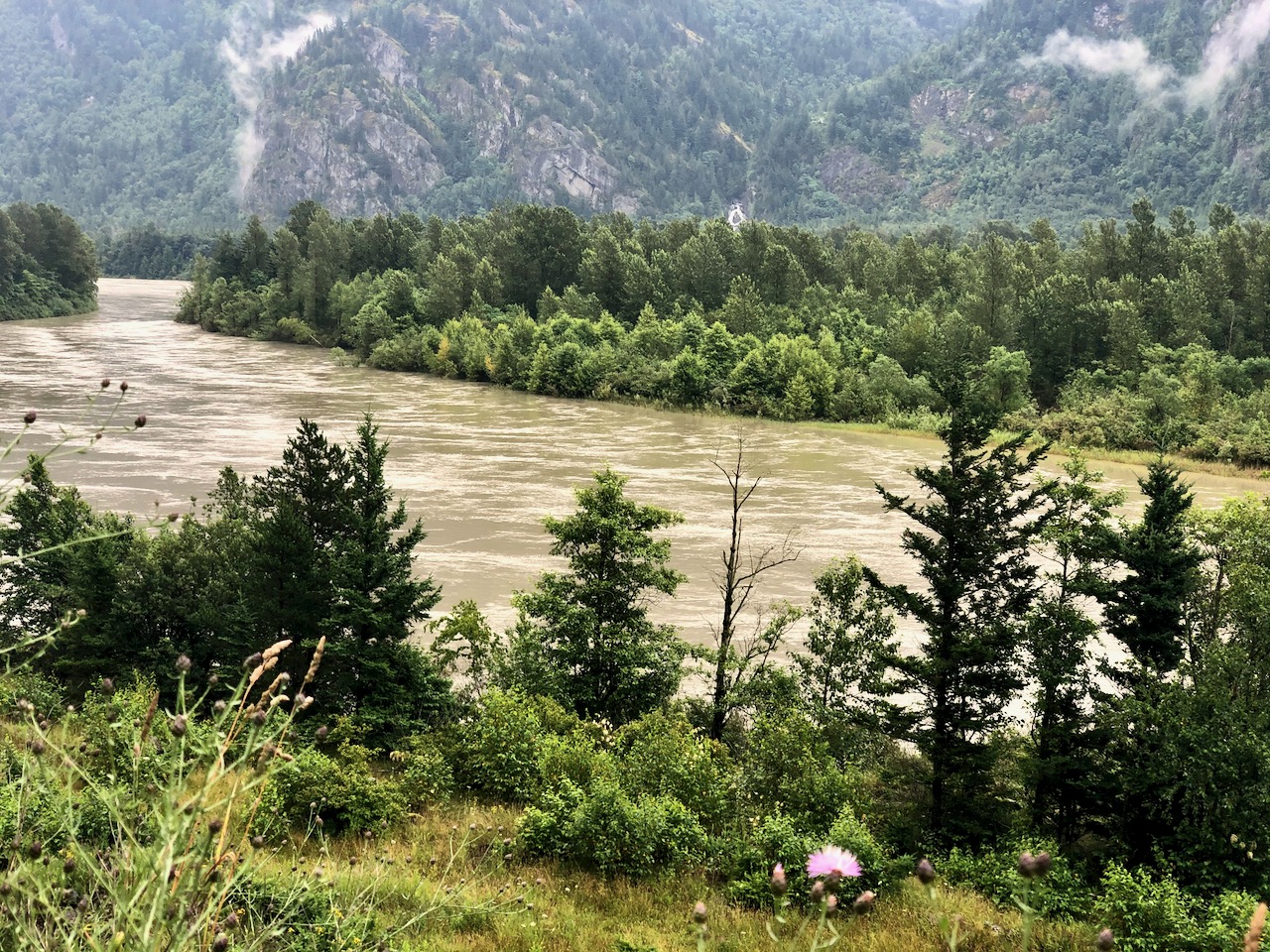
Early evening I stopped to see if I might want to wild camp along the mighty Fraser River. Instantly swarmed by mosquitoes, I rode away quickly.
Typically there are very few biting insects on the Left Coast of Canada. This was weird.
Wanting to get away from the river, I detoured to Harrison Hot Springs — mainly because I’d never been there before.
Gabbed a camping spot at an RV Park. Cost for your motorhome is about $45 / night. I negotiated $35 cash, no receipt for my little tent.
Canadian campgrounds are the best in the world. But most charge a fixed price / site, which makes it costly for solo cyclists and hikers. In Germany last year they charge fixed price / person / night — so it was inexpensive for me.
Harrison Hot Springs’ greatest attraction is its titular springs, of course, but it also has the Ranger Station Public Art Gallery, a marina with jet boat tours of the lake available, a nine-hole golf course, and is the closest access to Sasquatch Provincial Park. …
The tourist trap was much bigger and more developed than I expected.
But in July following COVID-19, it wasn’t very busy, most of the licence plates from B.C.
Late in the evening I cycled the near deserted waterfront. Harrison is an impressive lake!
I do recommend Strathcona for one and all. In fact, I want to return for some longer hikes after August 1st when there will be less snow and easier navigation up high.
Strathcona Provincial Park (1911) contains the highest peaks of the Vancouver Island Ranges. Some notable mountains located within the park boundaries include:
Golden Hinde (2198 m)
Elkhorn Mountain (2166 m)
Mount Colonel Foster (2129 m)
Mount Albert Edward (2093 m)
Exploring Strathcona Park is the best guidebook. It’s not inexpensive, but worth it. Great maps. Colour photos. Comprehensive coverage.
Author Phil Stone is truly an expert.
I’ll be carrying a dead tree copy on my bike.
And I plan to be spending quite a bit of time in Strathcona over coming years working towards establishing a possible coast-to-coast Vancouver Island route.
It’s easy to connect to Nanaimo Lakes road, a great ride with little traffic, other than cyclists.
For the second time I tried to get through Nanaimo Lakes to Cowichan by remote, private logging roads. I made it further this time, but still didn’t get through.
Folks living at Second Lake scowled when I got to the second closed vehicle gate. They were about as happy to see me as this mama with only 1 chick remaining.
Happily, I knew of a lovely remote creek campsite nearby I’d used before.
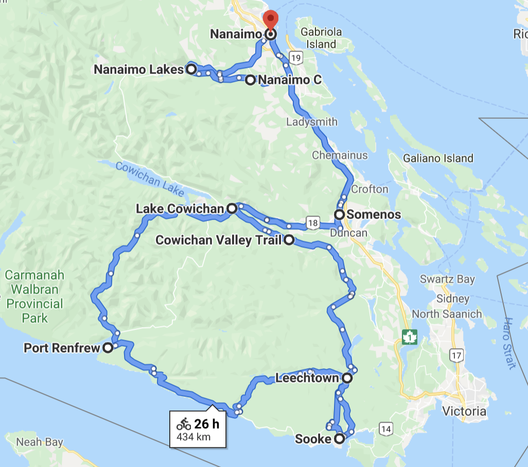
Turning back next morning, I headed to Cowichan via the normal route: Nanaimo River Road, Highway #1 to the lovely CowichanValleyTrail which starts close to Duncan.
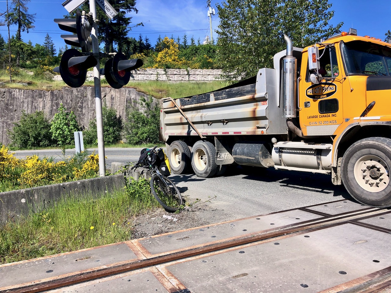
I always try to avoid traffic, but it’s inevitable here to share the road with logging and gravel trucks.
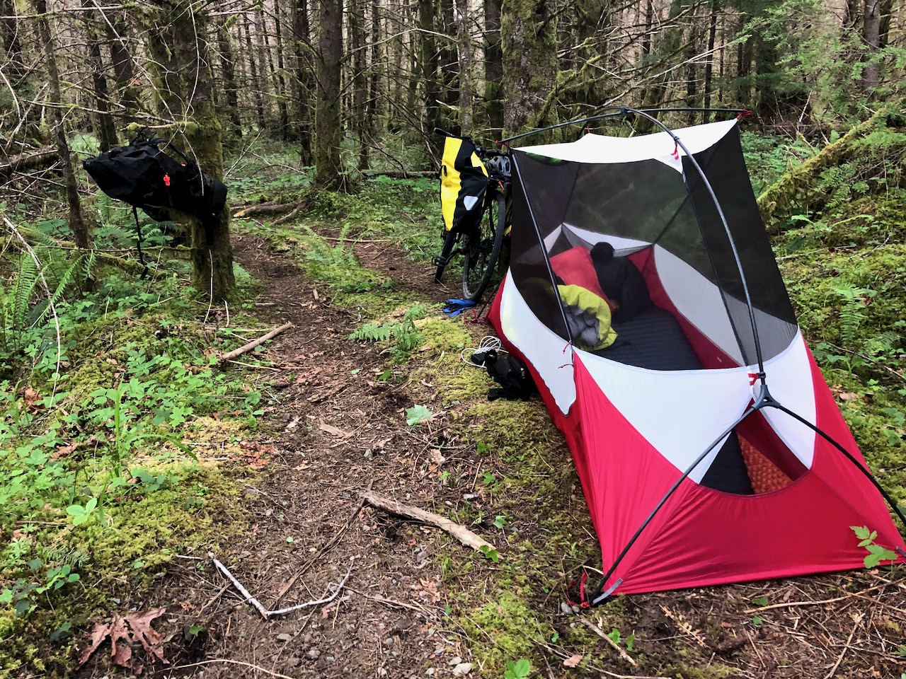
I was tired this day by the time I finally set up camp. 105km on mixed trails and roads.
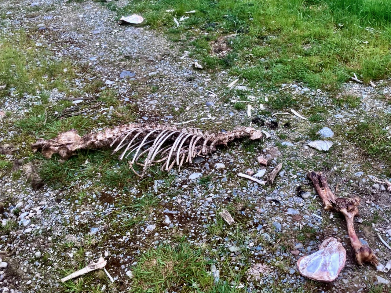
By all the bones strewn nearby, I assume this is a popular area with hunters during season.
A perfect cycling road is Cowichan to Port Renfrew: paved 2 lane, no traffic.
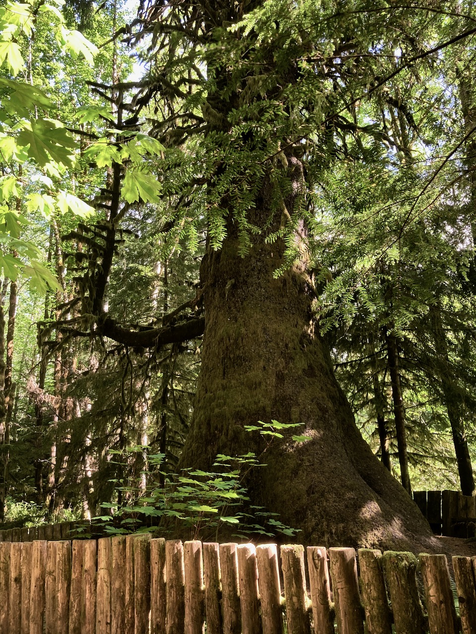
There are a couple of campsites en route. And the Harris Creek Sitka Spruce. For some reason in the late 1800s, loggers spared this one tree.
Port Renfrew, like Bamfield, has a large First Nations population most cautious when it comes to communicable disease.
I felt quite unwelcome on arrival. Everyone there told me to return after June 7th when it planned to open.
The signs still said CLOSED, though most Provincial Parks trails were already open.
Checking it out, the biggest mistake of my trip was rolling downhill from the highway to the Parkinson Creek Trailhead. It’s a long, long descent. I ended up pushing my bike uphill on the return.
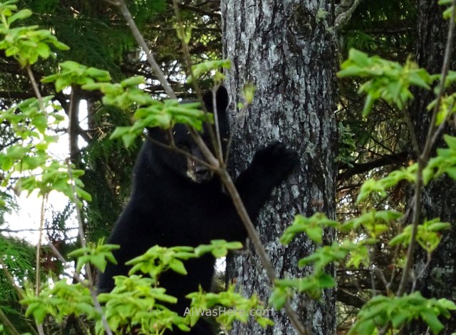
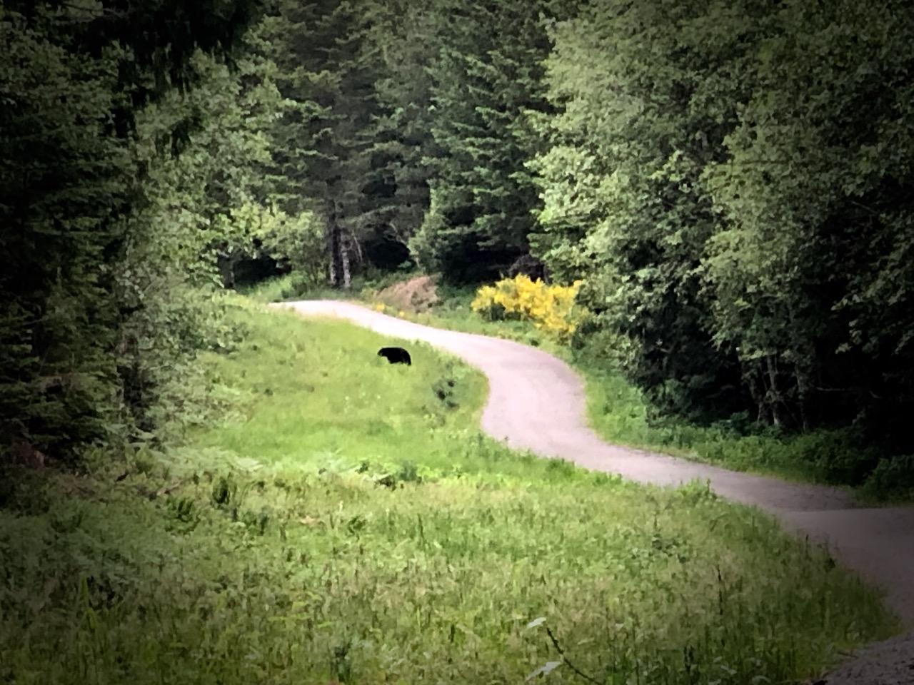
I’d never seen so much bear scat at any one place, one time. Seems without humans this season, bears have taken over the coast.
Carrying on down the highway, I finally got a flat tire. My first of 2020.
BUT was quite pleased with myself that I seemed to repair it efficiently.
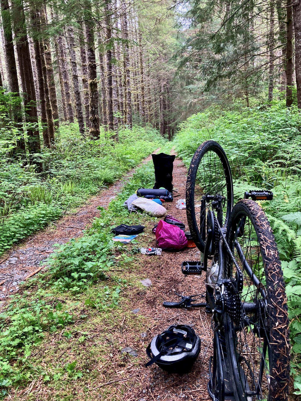
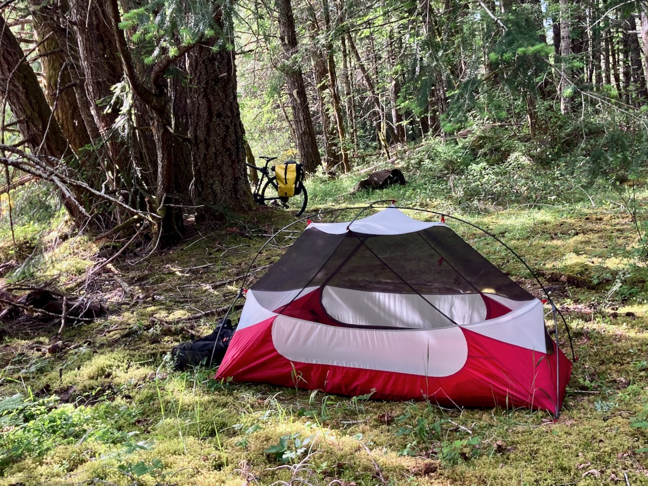
Since I’d taken the gear off the bike to fix the flat, I decided to camp in the trees right there.
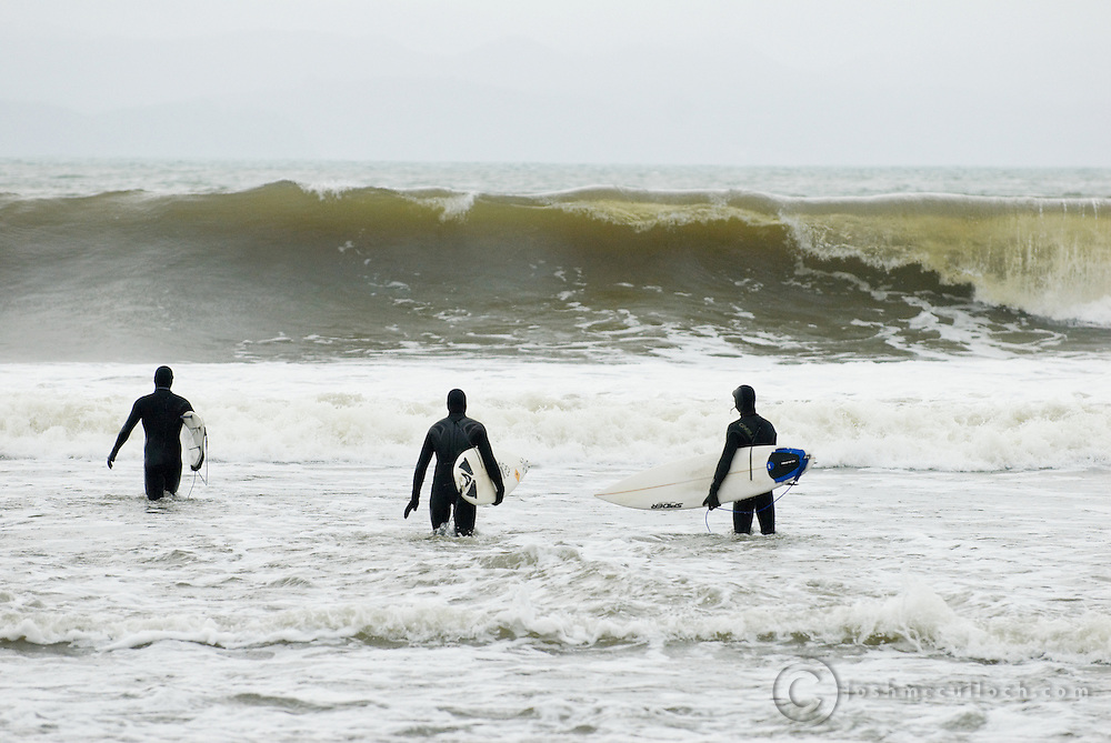
Surf was up next morning. So there were plenty of young people on the highway with boards and surf kayaks. The beaches seemed to be still officially closed, but it was not being enforced.
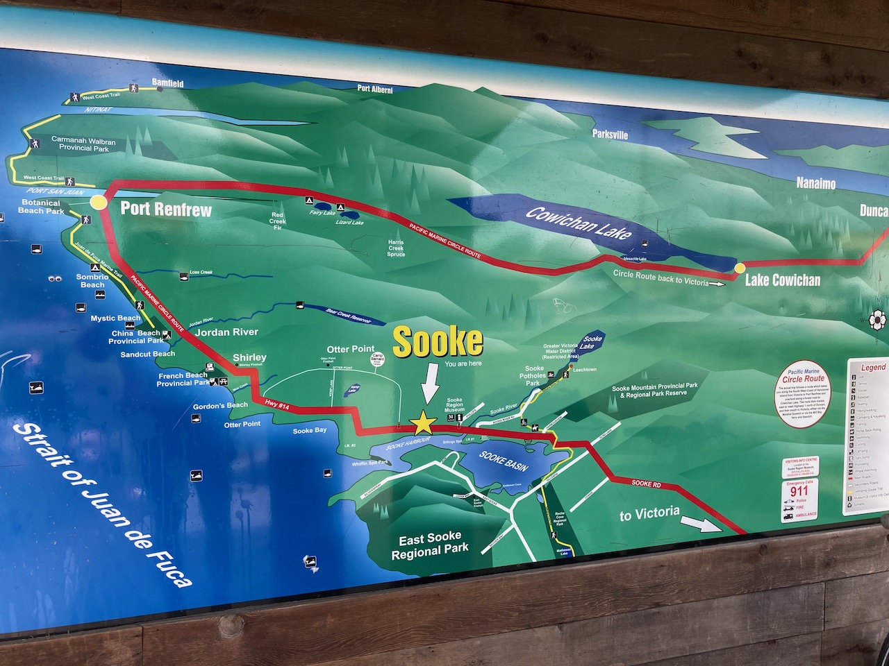
I stopped often on this highway as there are many highlights between Renfrew and Sooke.
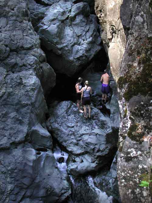
After finally reaching a Tim Hortons, I continued up the Galloping Goose to impressive Sooke Potholes, my first visit.
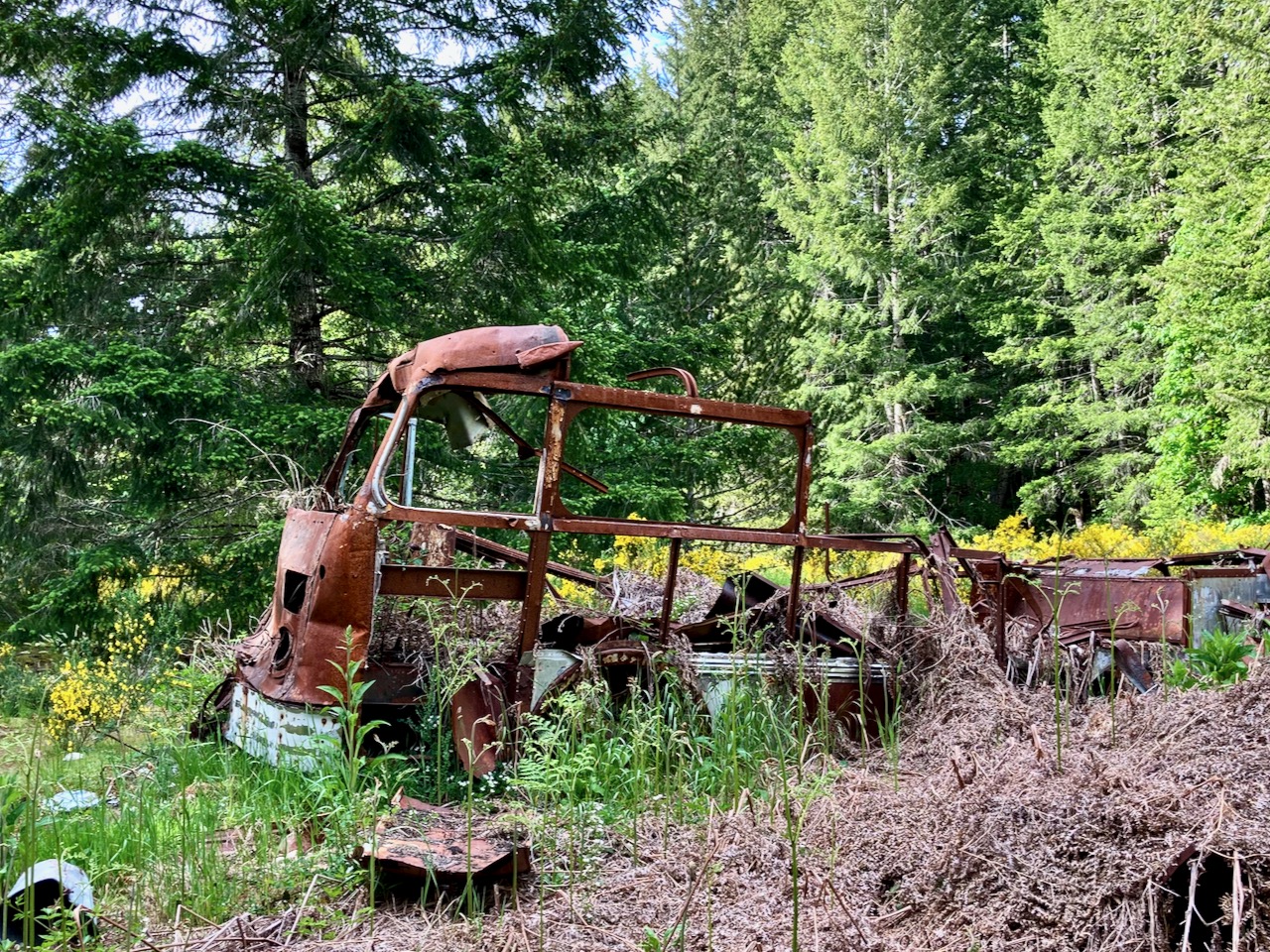
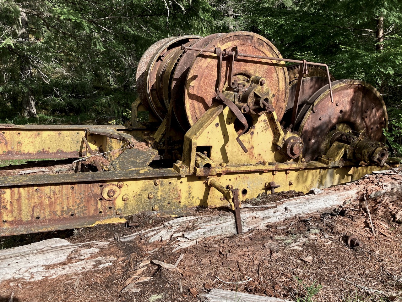
A ghost town now, it boomed when gold was discovered 1864,
My maps said I could continue to Shawnigan on logging roads, yet I couldn’t seem to find a way through past Kapoor. Everything was fenced off protecting the Victoria drinking water supply.
No worries. I backtracked on the excellent Galloping Goose towards Victoria, cutting inland to the fantastic Sooke Wilderness Trail.