😕 Yeesh.
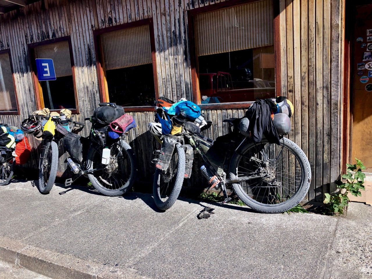
Here are all the devices I need to power for my upcoming bikepacking trip.
In fact, this photo is missing my EarPods and that dedicated cable.
For hiking I’ll carry only phone, watch, EarPods and one (of the 3) battery chargers.

😕 Yeesh.
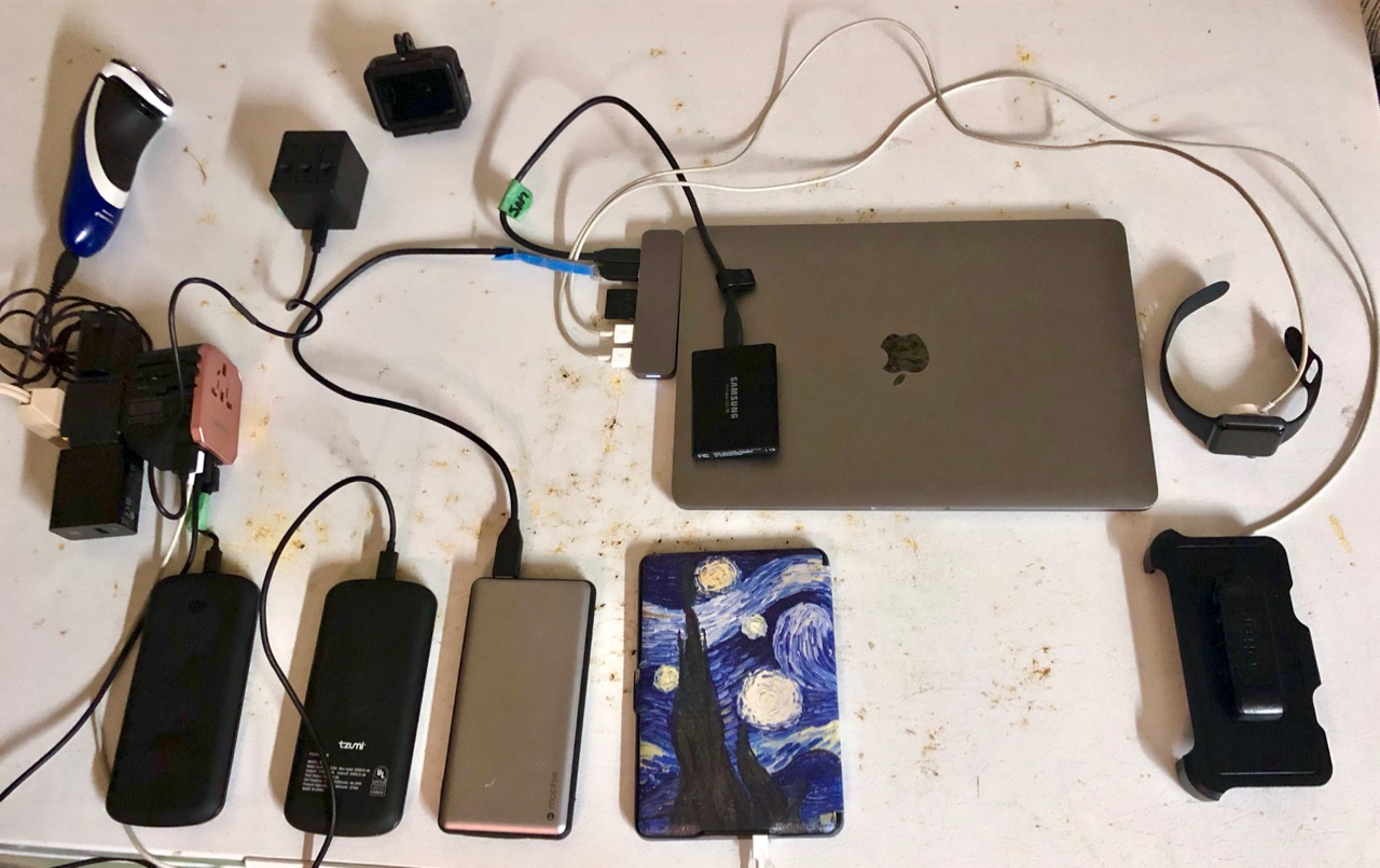
Here are all the devices I need to power for my upcoming bikepacking trip.
In fact, this photo is missing my EarPods and that dedicated cable.
For hiking I’ll carry only phone, watch, EarPods and one (of the 3) battery chargers.
Coombs is a BIG tourist trap destination on Vancouver Island.
I rode the new dedicated cycling trail to get there.
Click PLAY or watch it on YouTube.
For summer 2019 I’ll use the Relive app.
It generates Google Earth videos with the photos you too included.
Here’s an example from the FREE version of the software.
The free version adds a maximum of 10 photos. For up to 50 photos you must join the CLUB which costs US $60 / year.
Mapping works in conjunction with Strava, Runtastic, Endomondo, Garmin Connect, Suunto, Apple Health (Watch), MapMyRun, MapMyWalk, MapMyRide, MapMyHike and Polar Flow.
I might be using the free version of Strava. Otherwise I’ll use Apple Health.
As of May 2019.
I tried and gave up on drones.
I tried and gave up on gimbals.
GoPro works for me. Small. Tough. Durable. Waterproof.
For BikePacking travel I’ll be carrying:
Click PLAY or watch a 4K sample on YouTube.
For reasons unknown, GoPro stopped supporting their Apple Watch app. I use my watch a lot for iPhone, but will have to use voice control rather than my watch for the GoPro. (There is a 3rd party app called EasyBlack 7 that I might try.)
Click PLAY or watch a sample of Slow Mo on YouTube.
Typically I delete audio replacing it with some soundtrack.
On my last trip I tried using the audio. That can be tricky as the GoPro is not great at audio. It’s not easy to edit audio.
Click PLAY or watch it on YouTube.
Click PLAY or watch a sample on YouTube.
This GoPro photo came out as .tiff — huge at 96 MB. When I exported it to .jpg it was still large for web (1280 x 960) at 735 KB. It’s not been edited.


For years I’d heard it was possible.
For years I’d heard those roads were blocked. And there are signs on the roads heading west from Horne Lakes Caves saying there is NO through road to Alberni.
Happily, on the gravel road I bumped into a cyclist coming the opposite direction who had just ridden from Port Alberni. He told me it was pretty easy on a bike. The roads are blocked for motor vehicles.

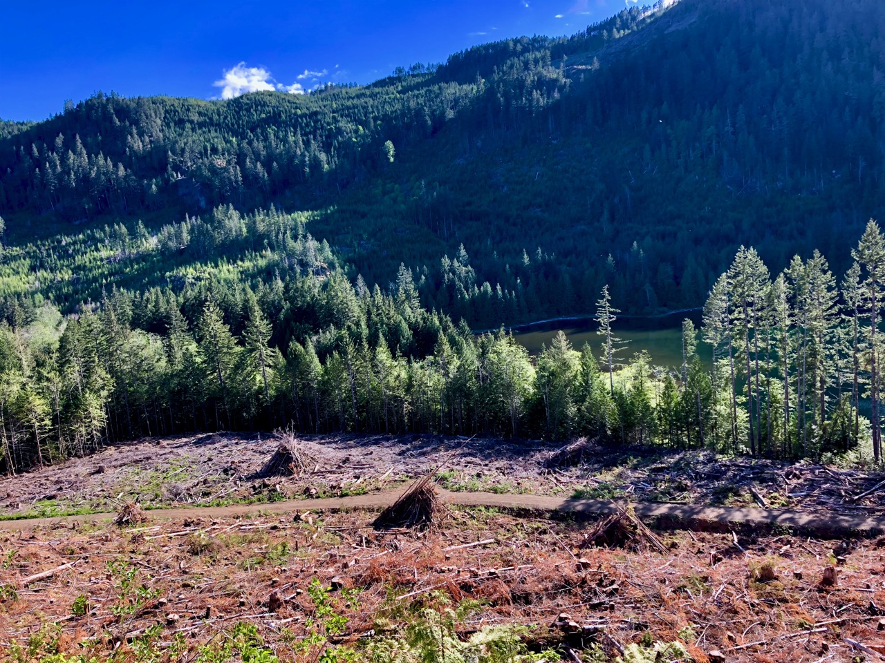
This is logging country. Seems to me the wood left behind is an extreme fire hazard.


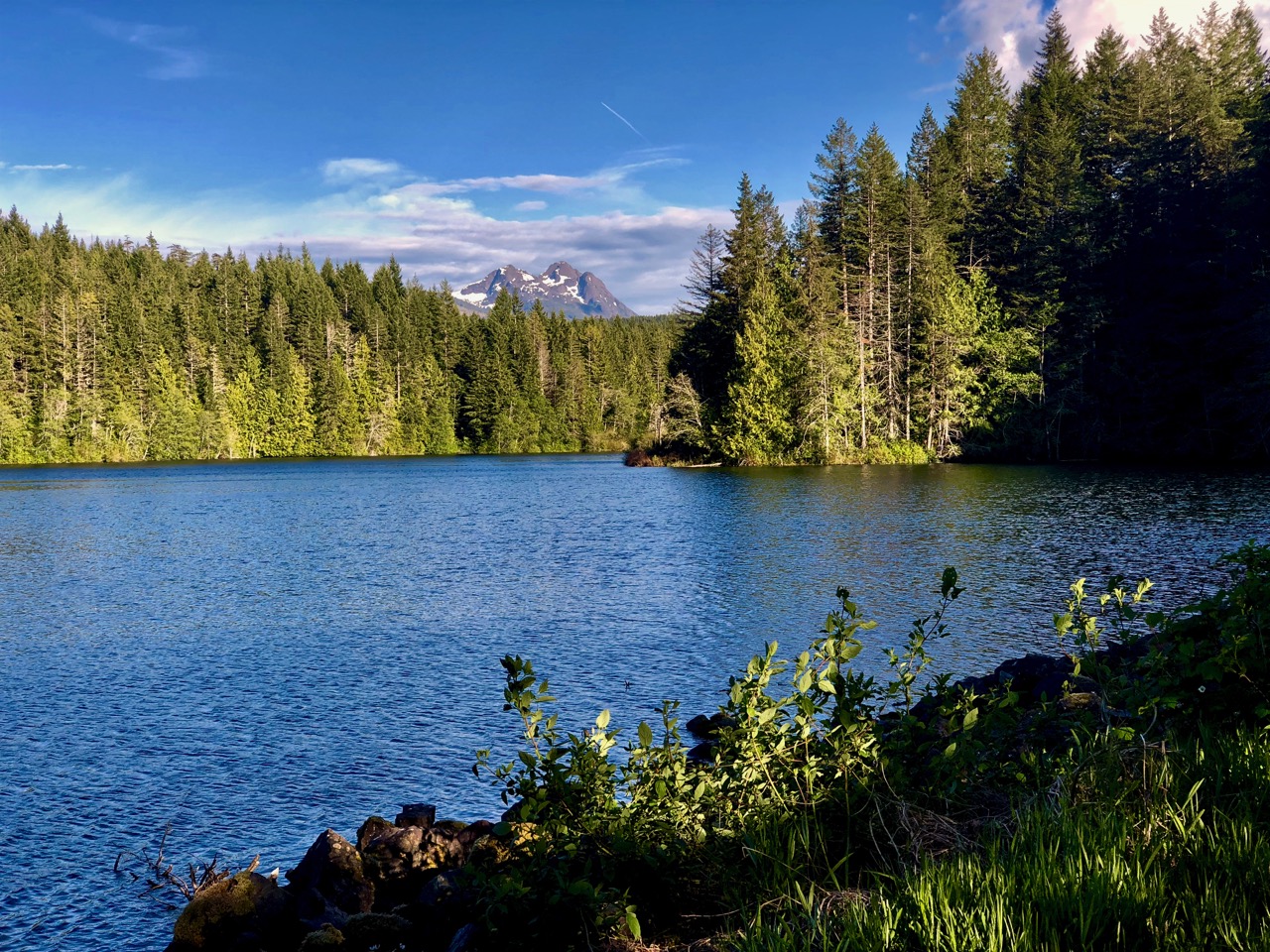
I’d originally been headed up trying to find hiking trails near Cherry Creek.
Instead, I decided to wild camp at a lovely spot beside Lacy Lake.

I had trouble keeping my eyes open ’til dark.

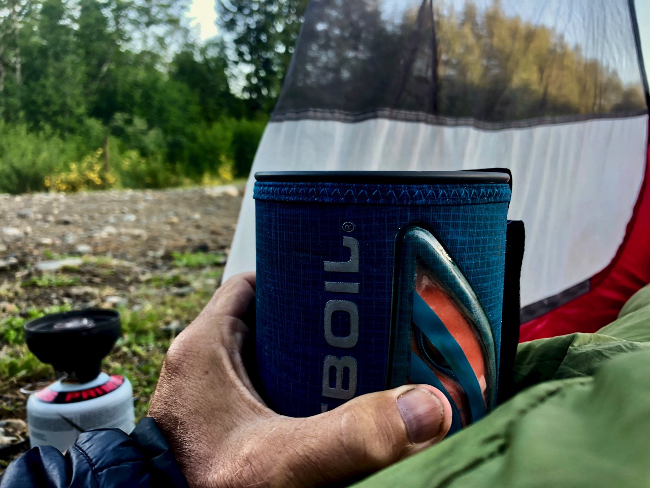
Up early with the sun. Enjoyed several mugs of coffee.
This trip was a gear test for longer BikePacking trips. And my system was NOT perfect.

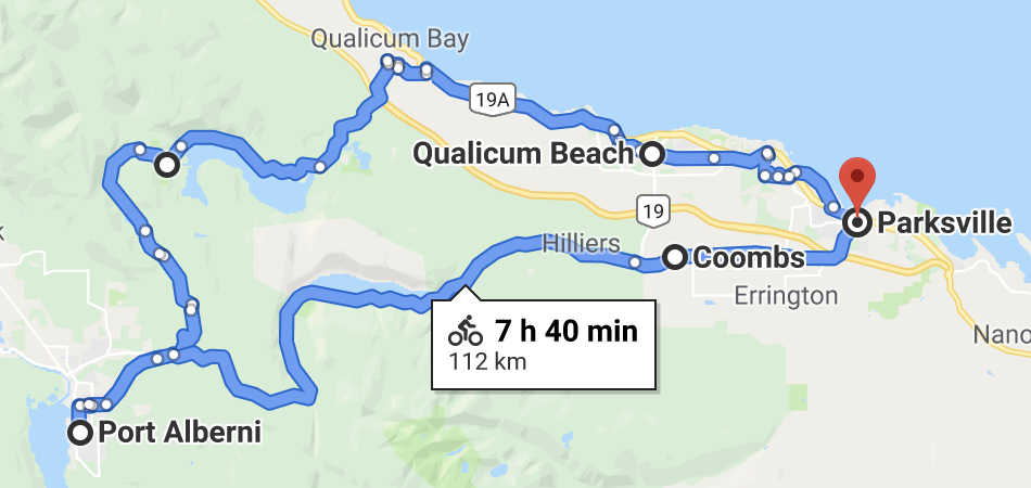
There are many ways to get to Port Alberni. The advice I got was to go as direct as possible. I took this rough trail.

That worked. But it would have been better on a mountain bike than my hybrid.
I came out close to the Motocross Track.

From there on to the lovely Log Train Trail into town.
After a stop at Tim Horton’s I decided to cycle the highway back to my parent’s place in Parksville. It’s busy. Many trucks. But there is a fairly wide shoulder.
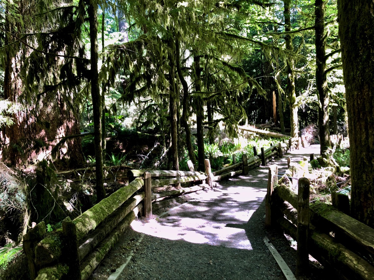
The highlight was a stop at Cathedral Grove.

Testing my new GoPro 7 Hero Black on my favourite cycling trails close to my parent’s place in Parksville, B.C.
Click PLAY or watch it on YouTube.
I’m keen to do more.
This couple has started on a trip that might last 10 years!
Click PLAY or watch Peyman and Matilda on YouTube.
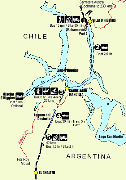
You can backtrack and drive 19h 43min (1,072.4 km) or …
… continue by ferry and on foot.
This must be one of the wildest (legal) border crossings on earth.
I knew it was complicated and often fraught with complications. (e.g. Ferry doesn’t go due to too much wind.)
I knew it took 1-3 days … depending. 🙄
So I figured I’d best do it the easiest way possible —> signing on with the expensive Robinson Crusoe tour company.
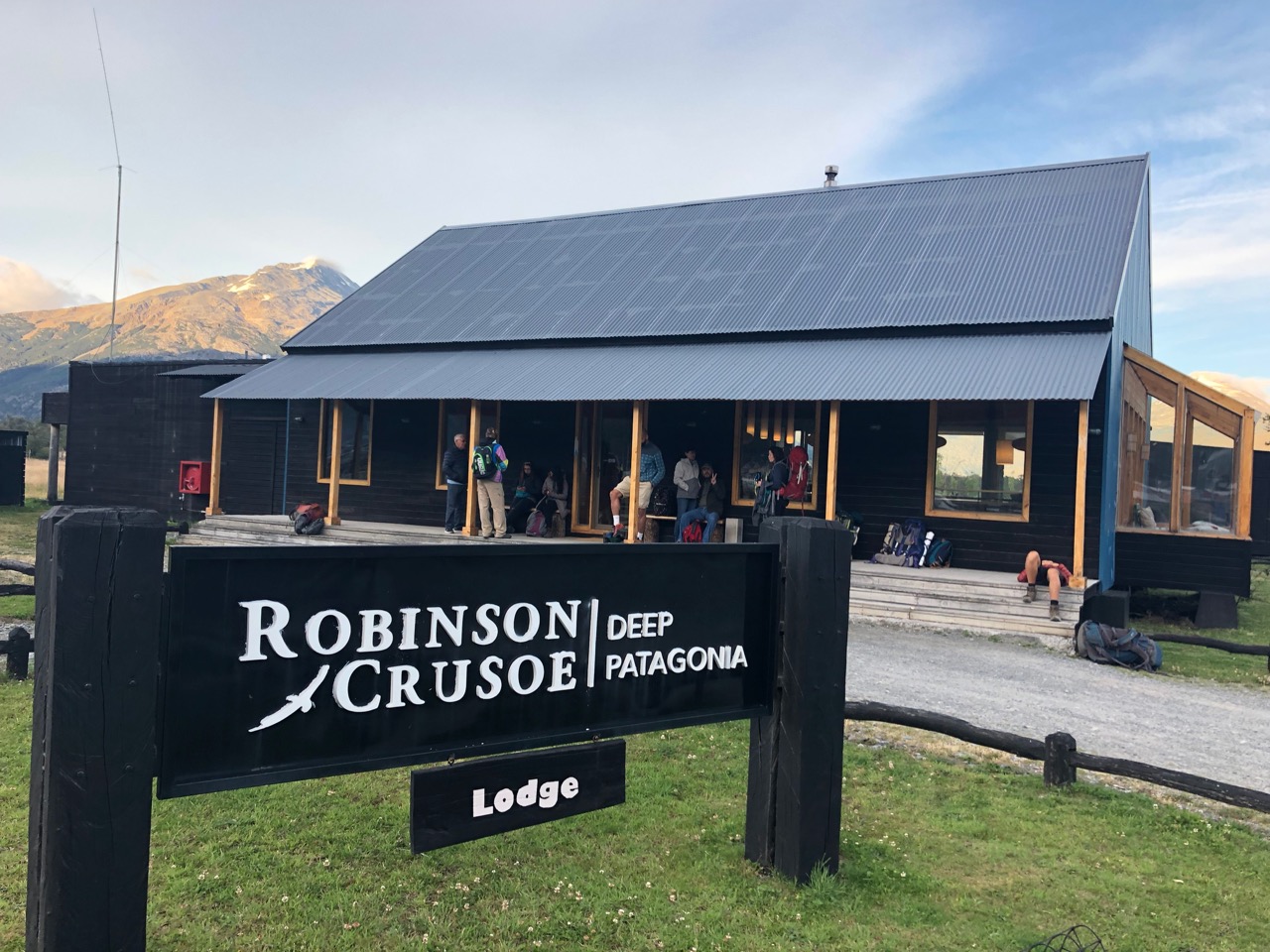
We left Robinson Crusoe lodge at 8am for the short mini-bus ride to the first ferry. There were more cyclists than passengers on foot.
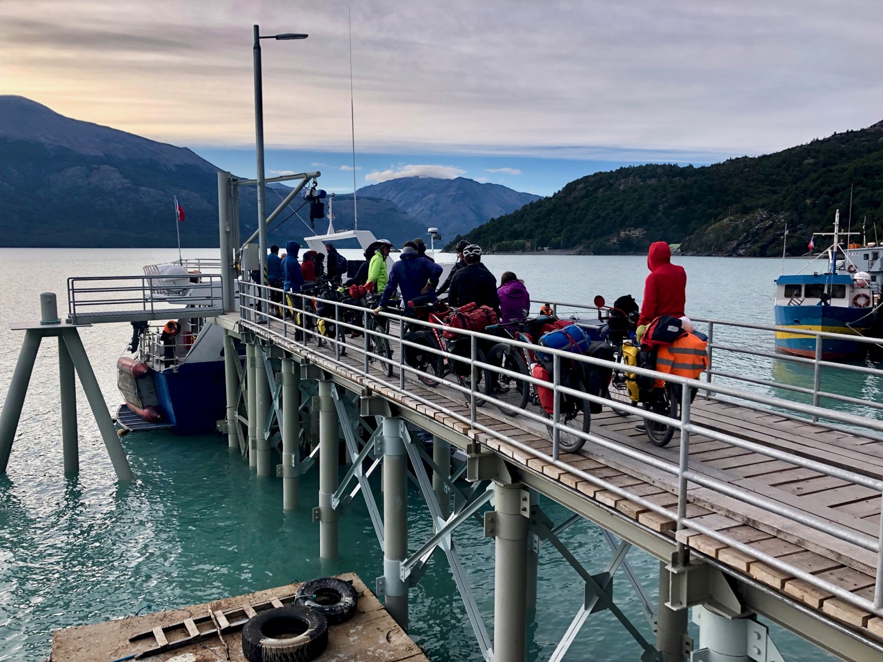
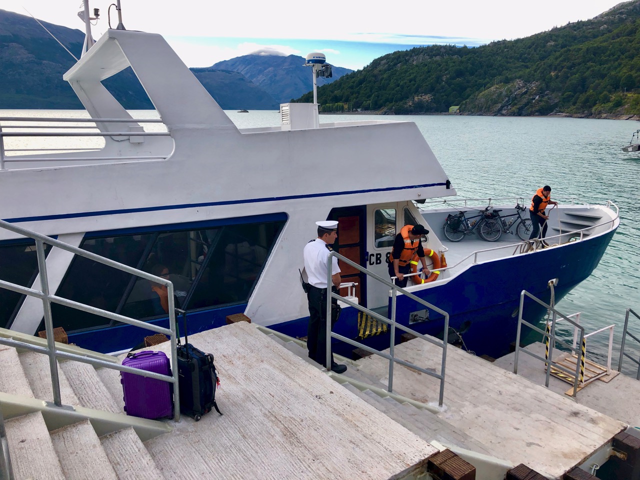
Boarding was confusing. There were two companies. And Robinson Crusoe had two different boats.
I was NOT welcomed on the nicer one.
Turned out the nice one does a side tour to a glacier. If you pay extra for it you can’t make the crossing in 1 day.
My boat was smaller and rougher. Though faster.
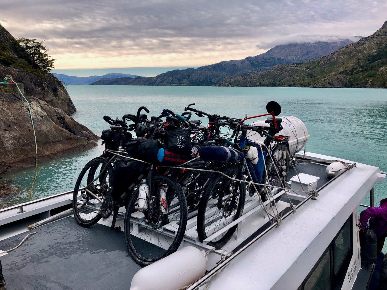
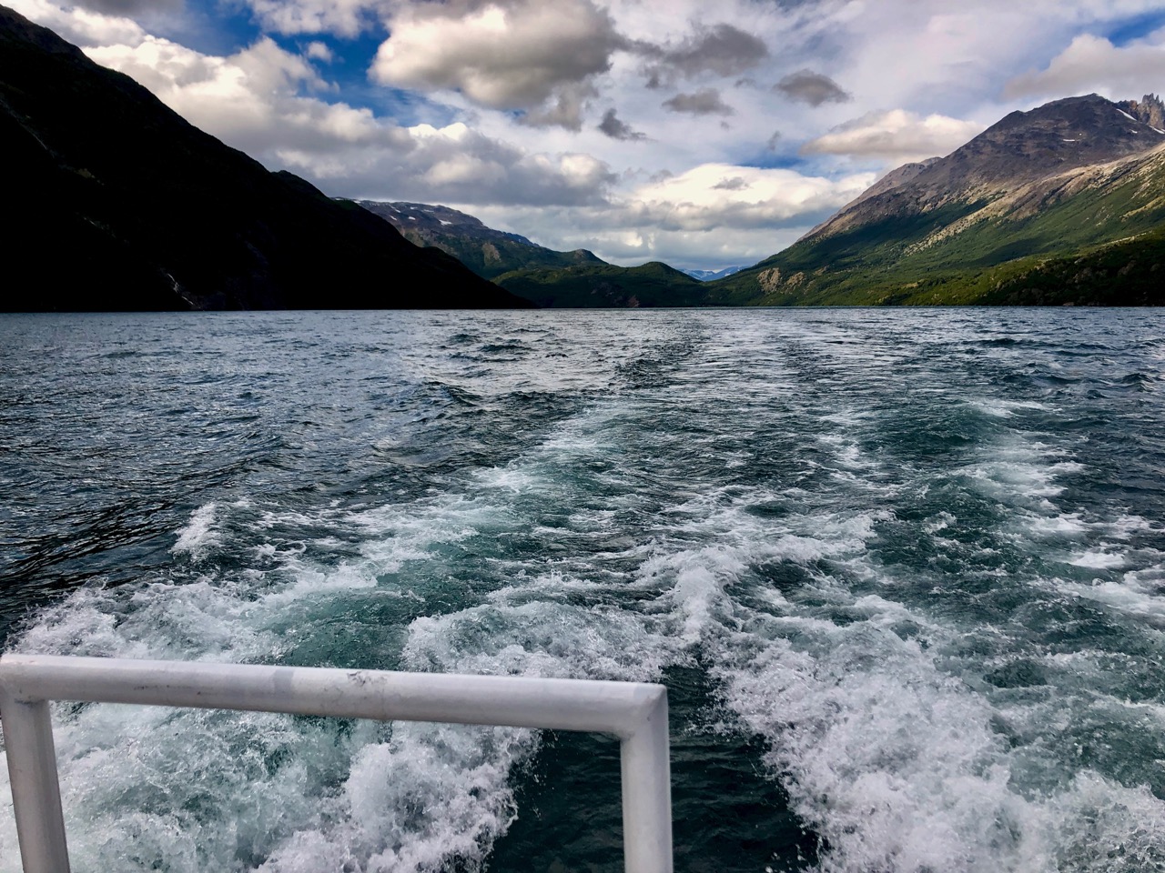
Once across to no man’s land, you check out of Chile.
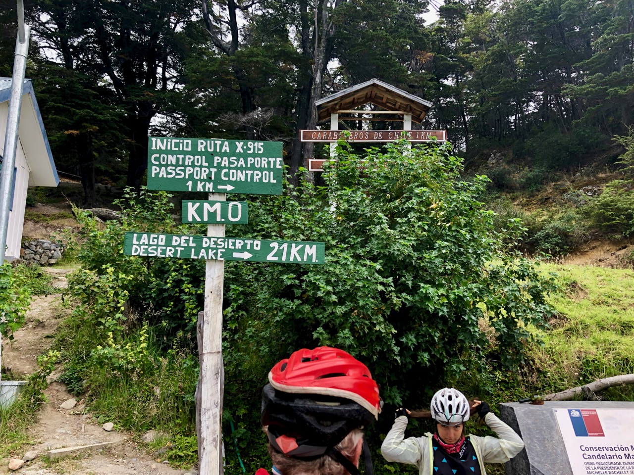
This was to be our biggest problem. A very diligent border guard was SUPER slow processing anxious travelers. I was there nearly 2 hours.

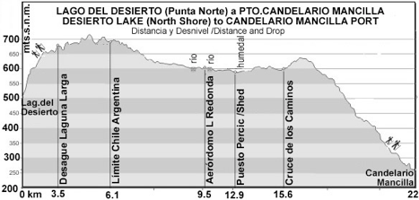
Once stamped out of Chile you have to walk 22km to the border post for Argentina.
As I paid good money it was ASSumed that my tour company would somehow shuttle me that distance.
No.
I walked like everyone else. It took me about 5 hours and I only made the second ferry with 30 minutes to spare. (I did send my backpack on a vehicle for 15km. That cost an extra C$10.)
It involves a climb of 700m.
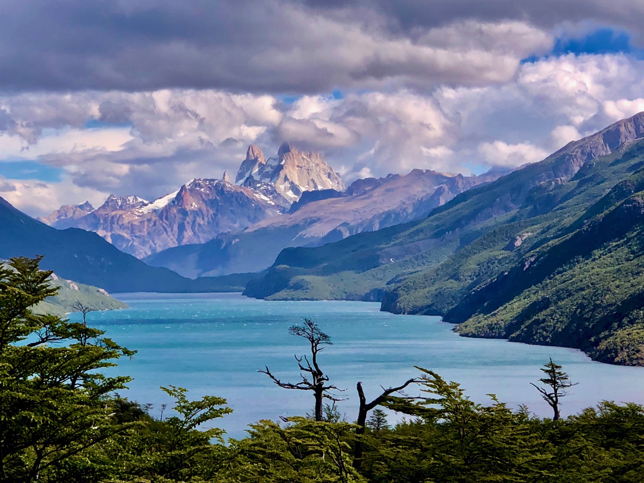
Worried that we wouldn’t make it on time, our spirits were greatly cheered when we got our first glimpse of the famed Fitz Roy peaks in the distance.
NO CLOUDS!
15 years ago I’d been there and not seen even the base of these mountains. It’s an infamously horrific microclimate.

Clouds rolled in and out over the afternoon, but this is still one of the very best vantage points.
Turns out most people plan to camp at the second ferry landing in any case. And catch the boat next day. That way they are not rushed.
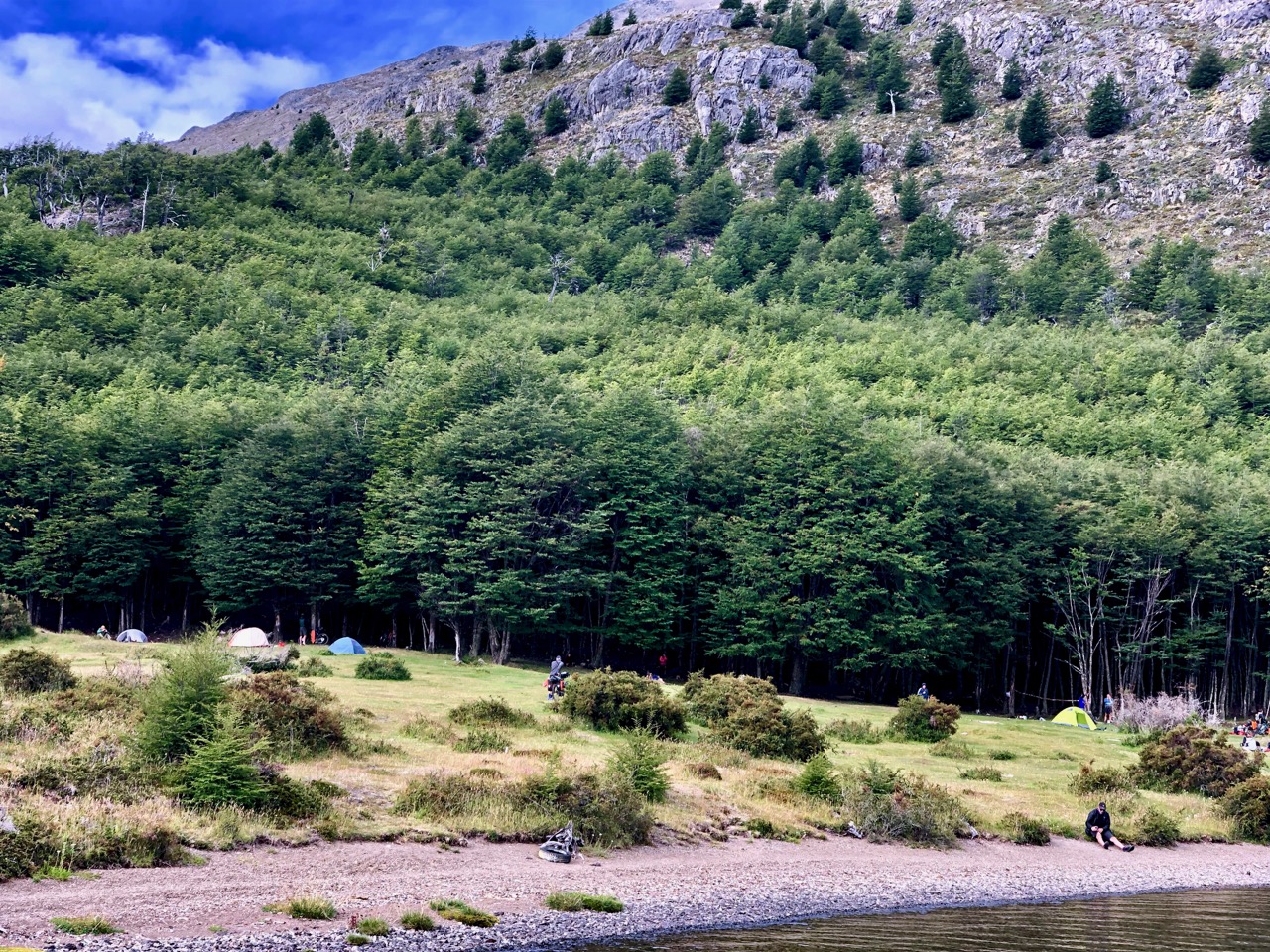
Some — including Sam from Calgary who I hiked with — tent here and then hike out along the lake next day to save money. (In fact 3 Calgarians met up on the trail this day!)
We were worried about an 81-year-old man from France. He almost made it.
Instead, someone loaned him a tent so he and his wife could camp.
Myself and the very widely traveled cyclist in this photo did get on the boat. He and his girlfriend had cycled London to Hong Kong before heading to South America on this trip. They had the smallest gear I’d seen over the past weeks.

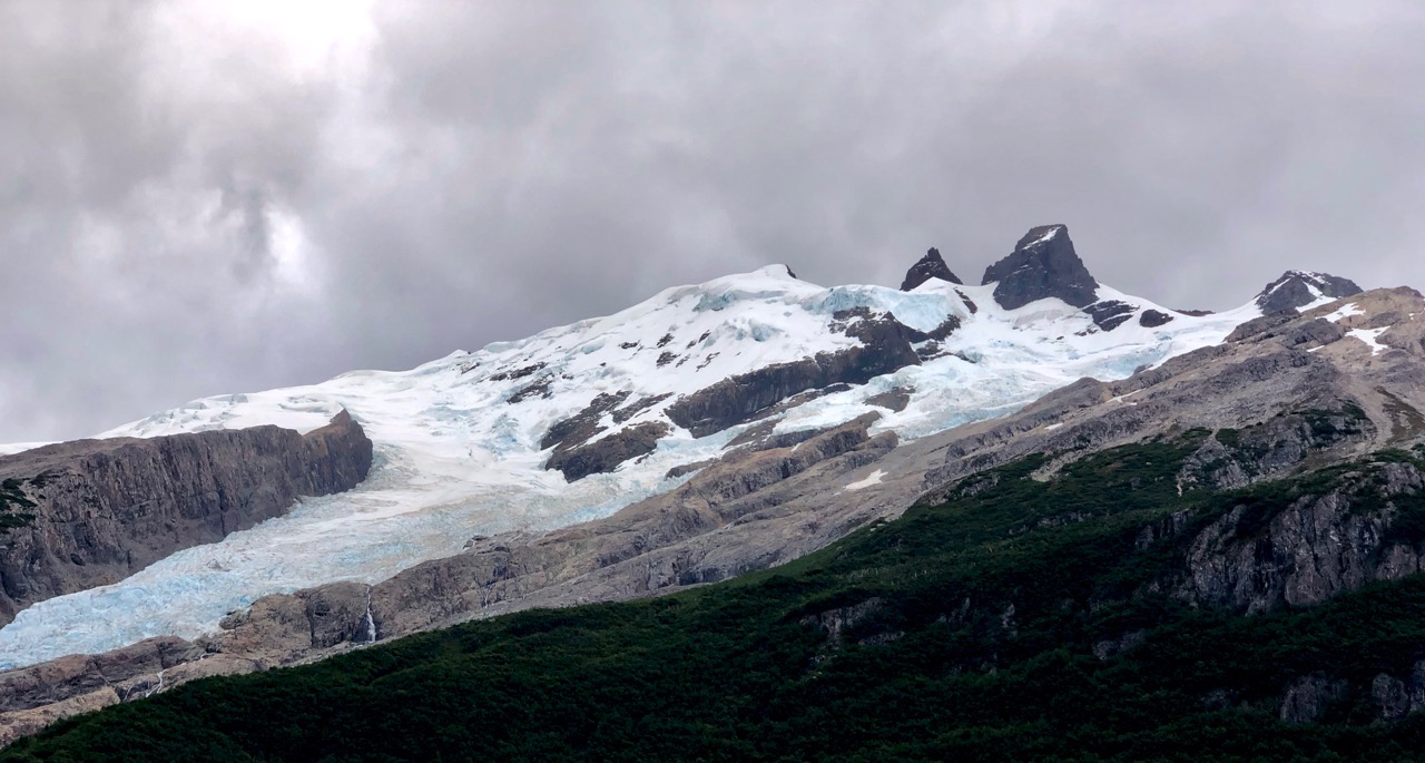
There were good views on to glaciers from the second ferry.
The lakeside trail looked pretty tough to me. There won’t be a road put in here … ever.
I fell asleep on the mini-bus ride to town. This was a non-stop 12 hour travel day.
Still, I was thrilled to return to El Chaltén, one of my top 10 hiking towns in the world.
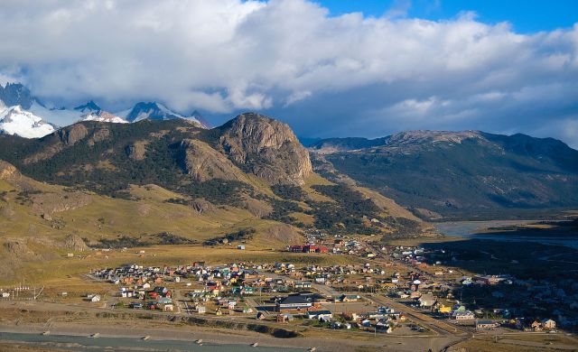

Chaltén’s changed a LOT since I was here 15 years ago. Back then it was a sleepy little dead end town. Now it’s party central on the backpacker circuit. My hostel has a restaurant open 24 hours a day!
Here’s the whole trip.
related – Stingy Nomads trip report
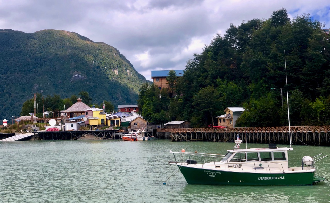
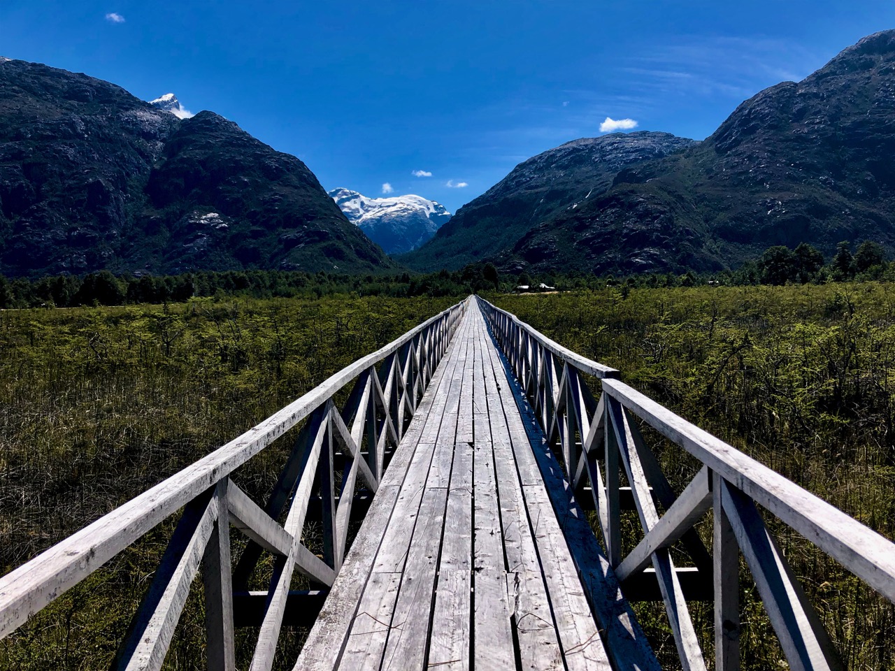
So weird and wonderful, it could be coastal Norway.
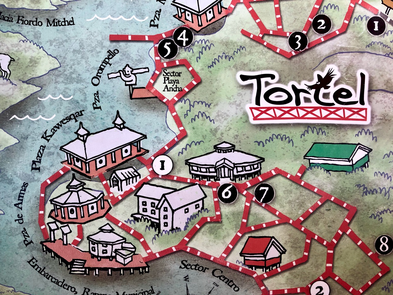
Caleta Tortel is a coastal village (founded 1955) in Chile. …
The surrounding geography is rugged, formed by a number of islands, fjords, channels and estuaries.
… the road was constructed only in 2003, and connects Caleta Tortel with the Carretera Austral.
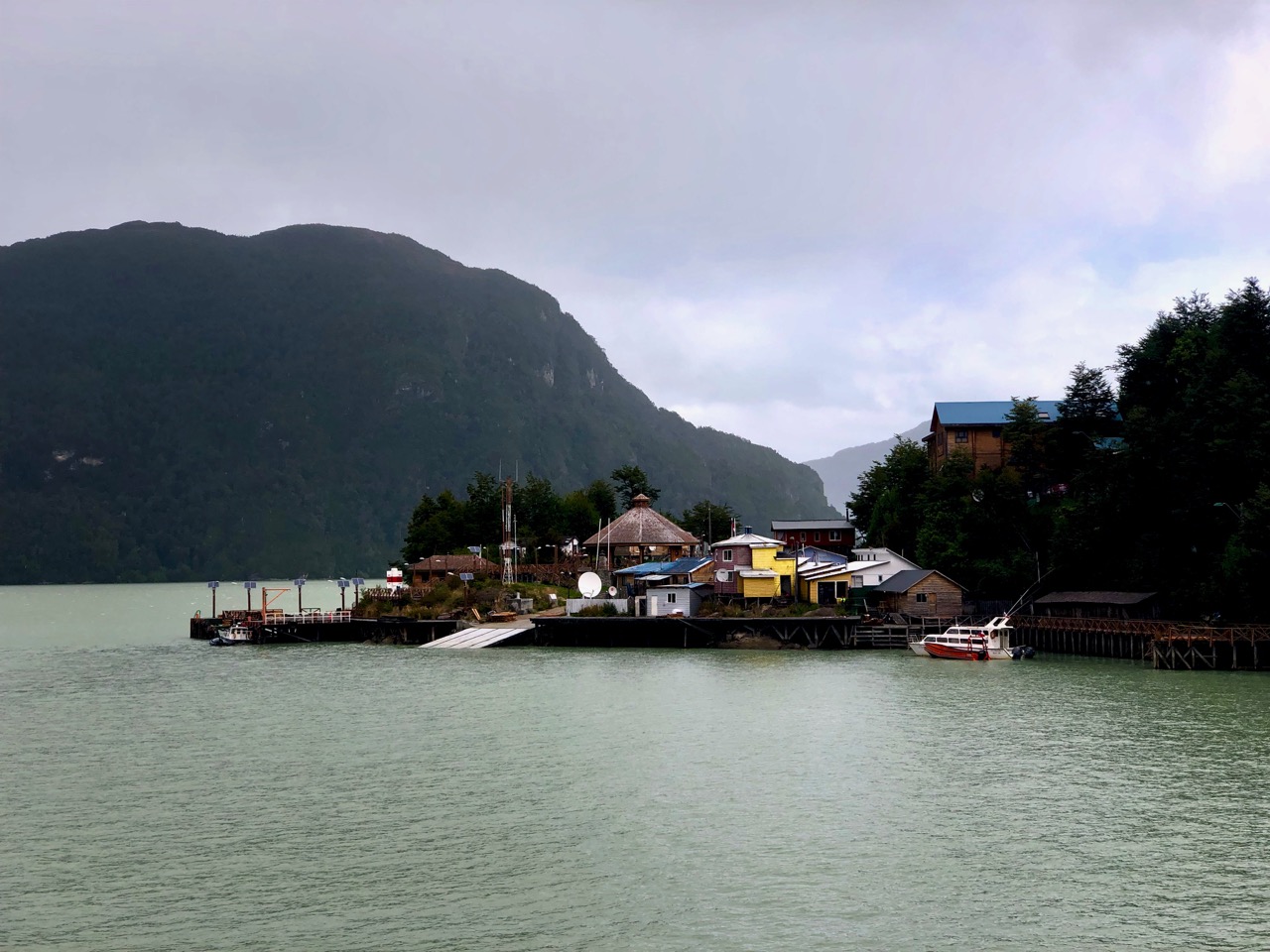
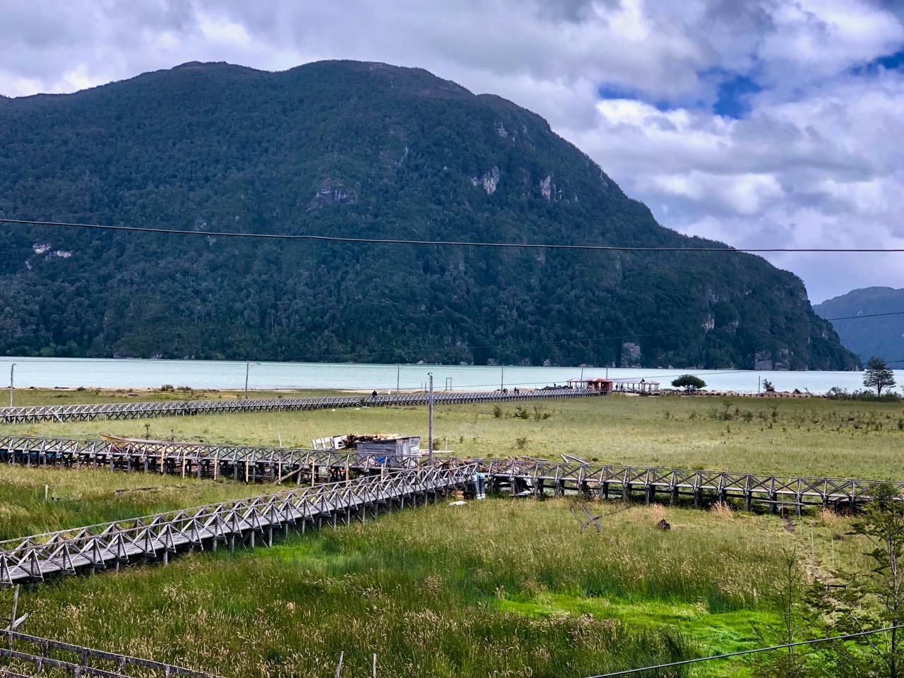
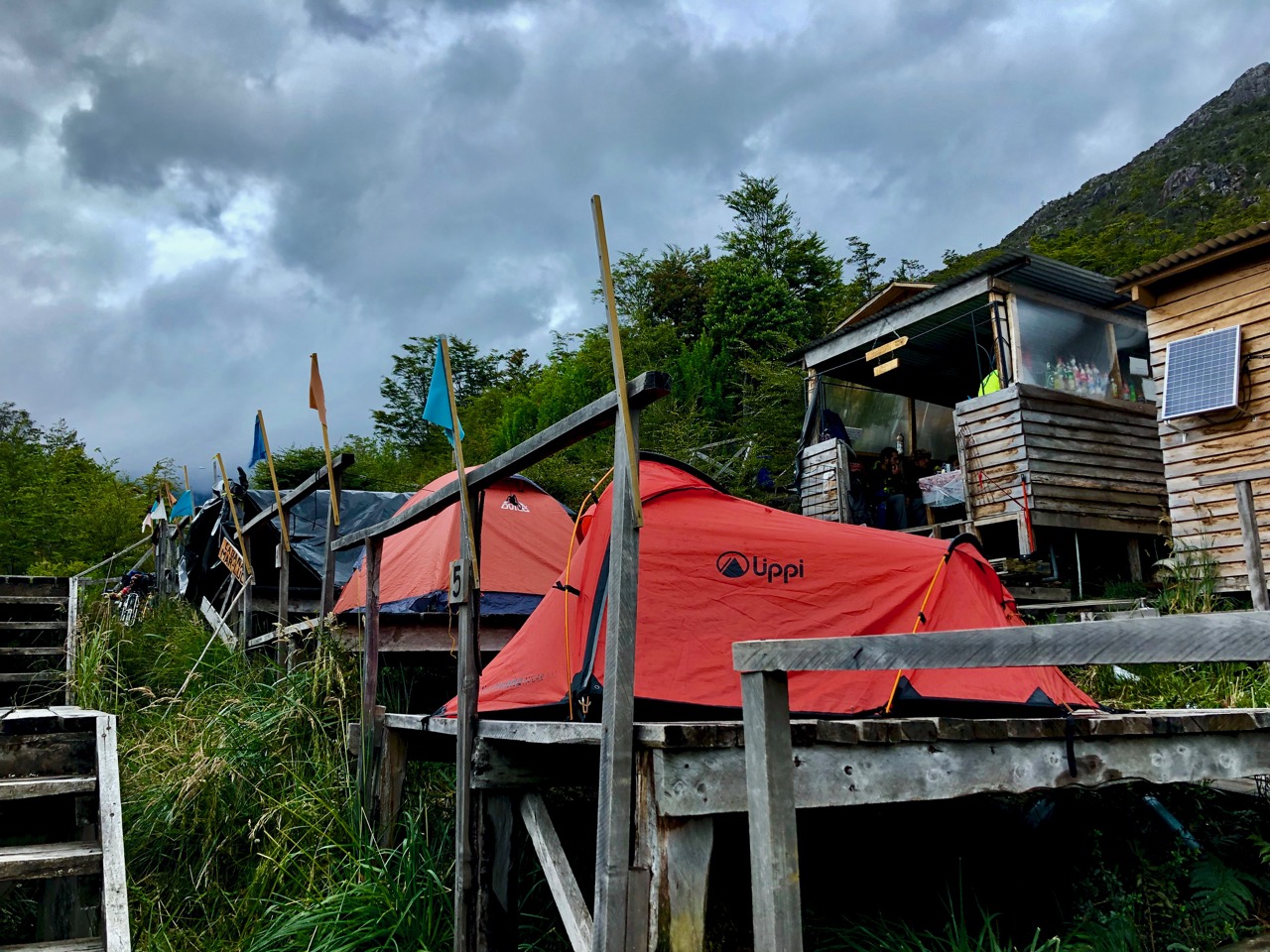
Caleta Tortel consists mainly of stilt houses, typical of Chilotan architecture, built along the coast for several kilometers. There are no conventional streets – instead there are wooden walkways …
Since I hate motor vehicles, I loved Tortel.
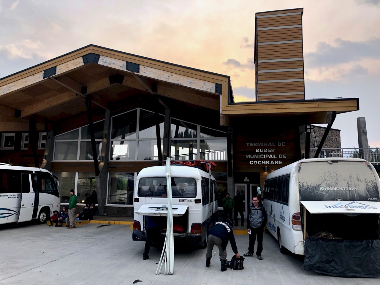
I got there by bus from Cochrane.
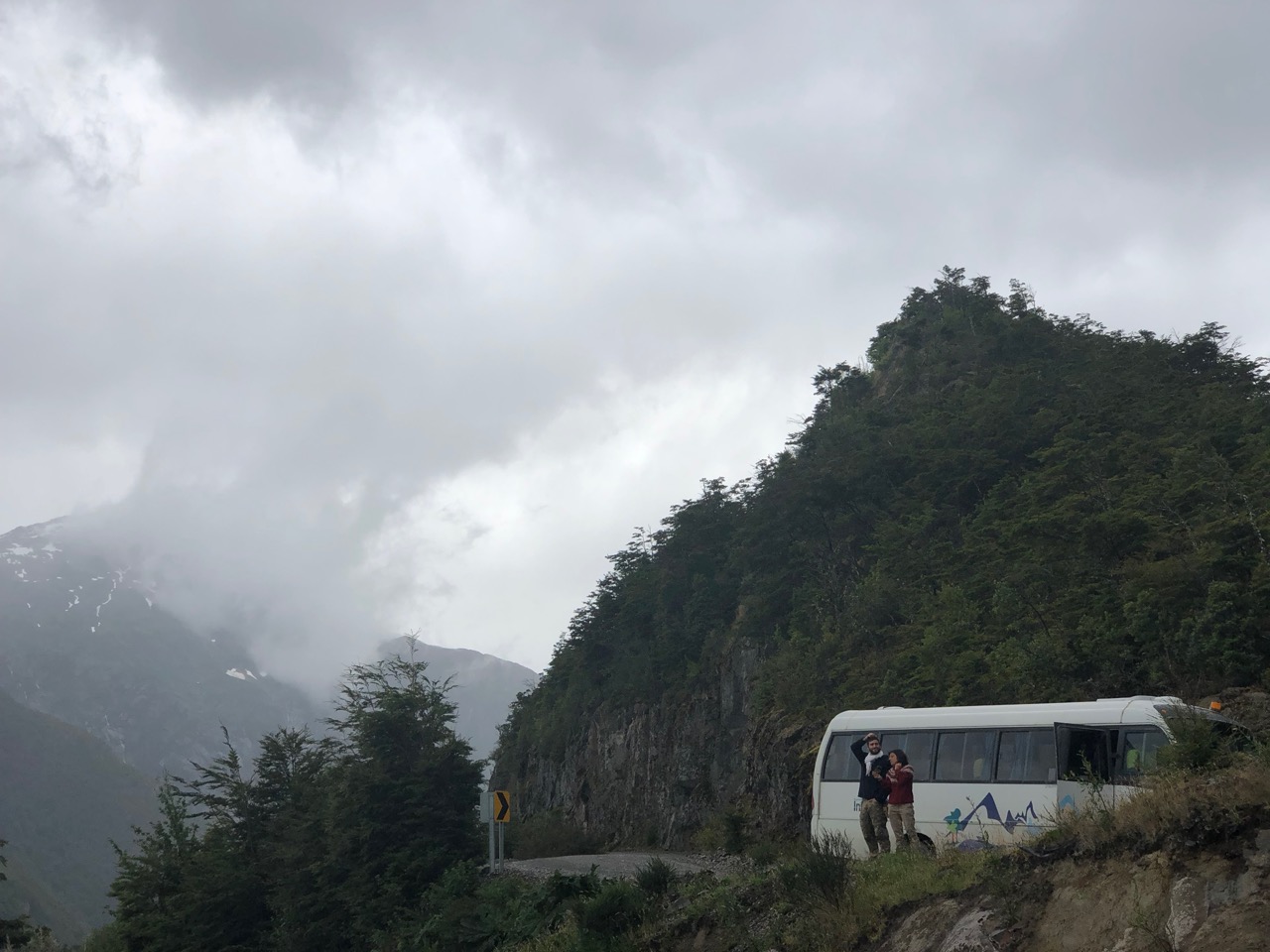
Since my driver was a smoker, we had plenty of photo stops.
In Tortel, even the tent platforms are on stilts.
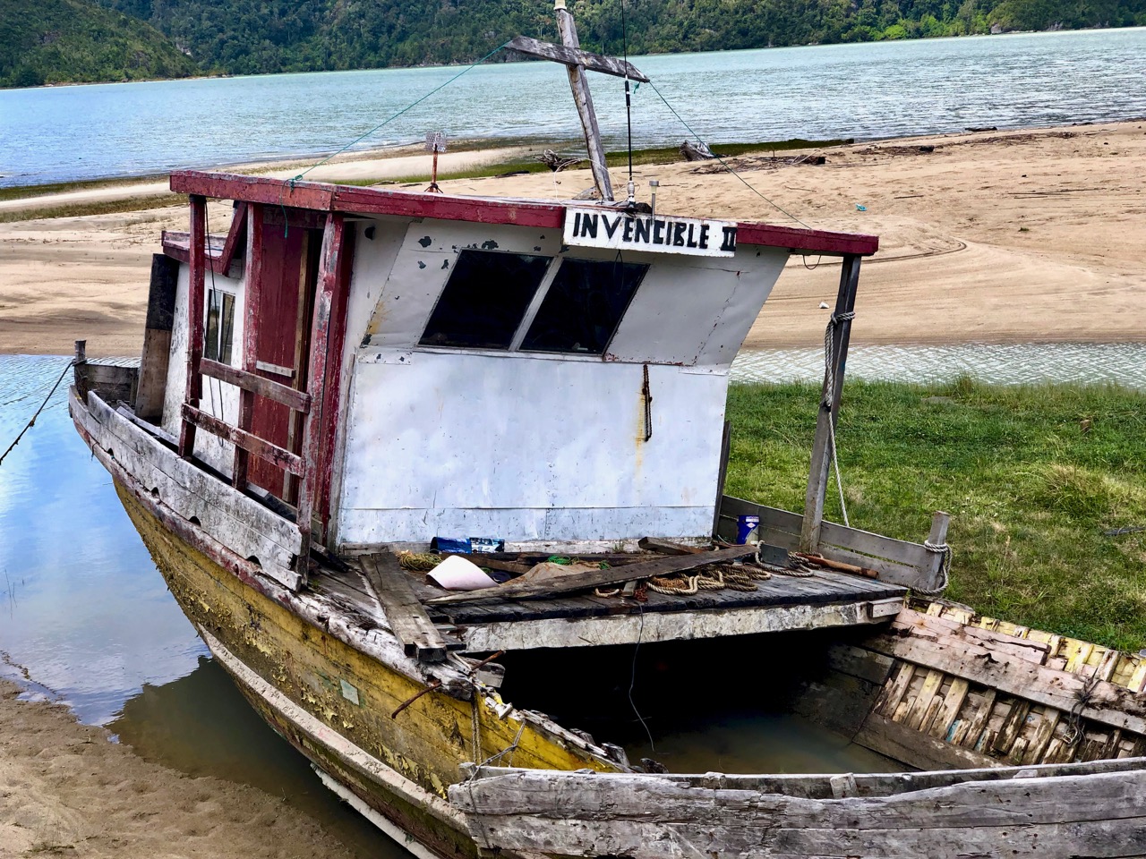
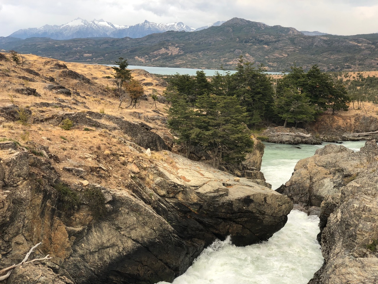
At the mouth of Chile’s largest river, we expected this to be a fishing village. Not so. It’s historically been a lumber town.
There two days, I spent plenty of time walking the boardwalk.
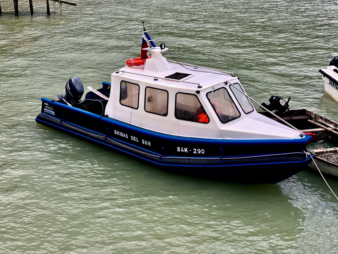
Cyclists all make the detour here.
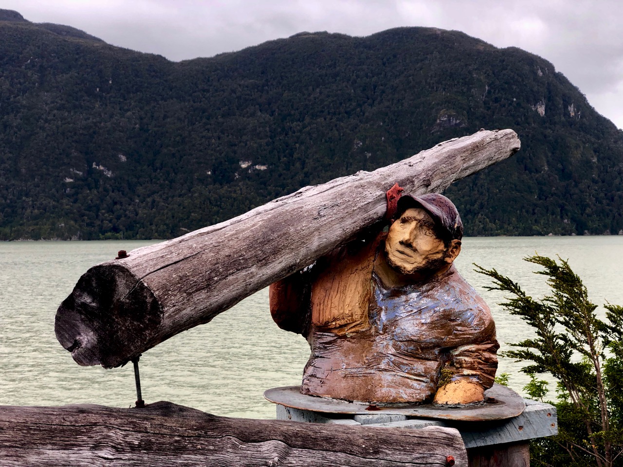
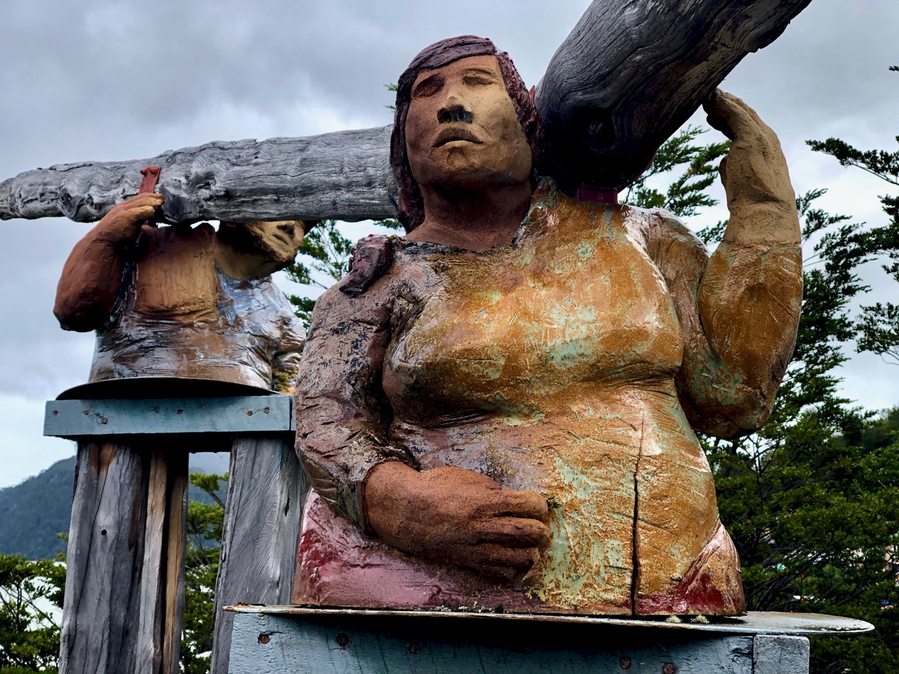
A lovely place to visit.