July 4, 2019 – day 2.
Day 1 | 2 | 3 | 4-5 | 6-7 | 8 | 9 | 10 | 11 | 12-13 | 14 | 15 | 16 | 17 | 18 | 19 | 20 | 21 | 22 | 23 | 24 | info | video
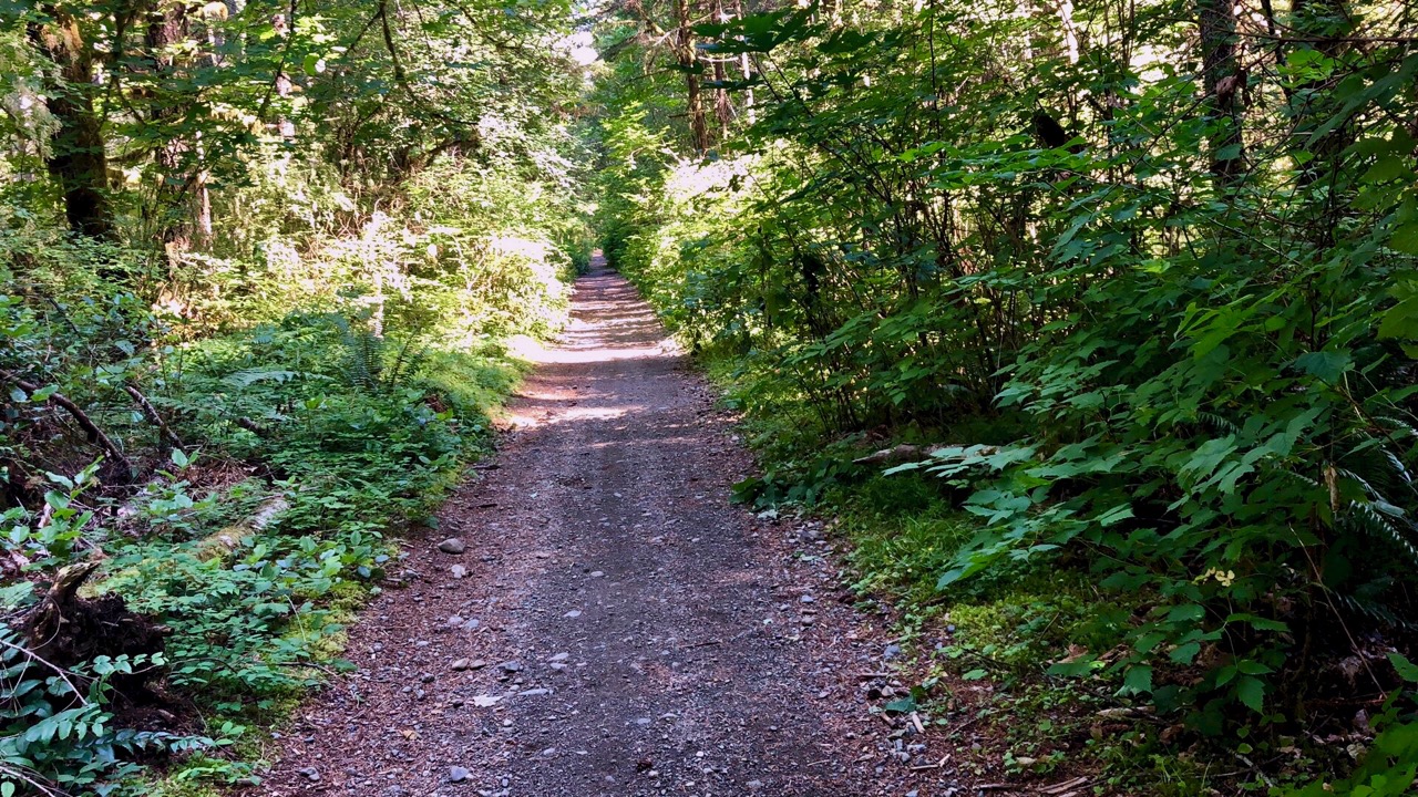
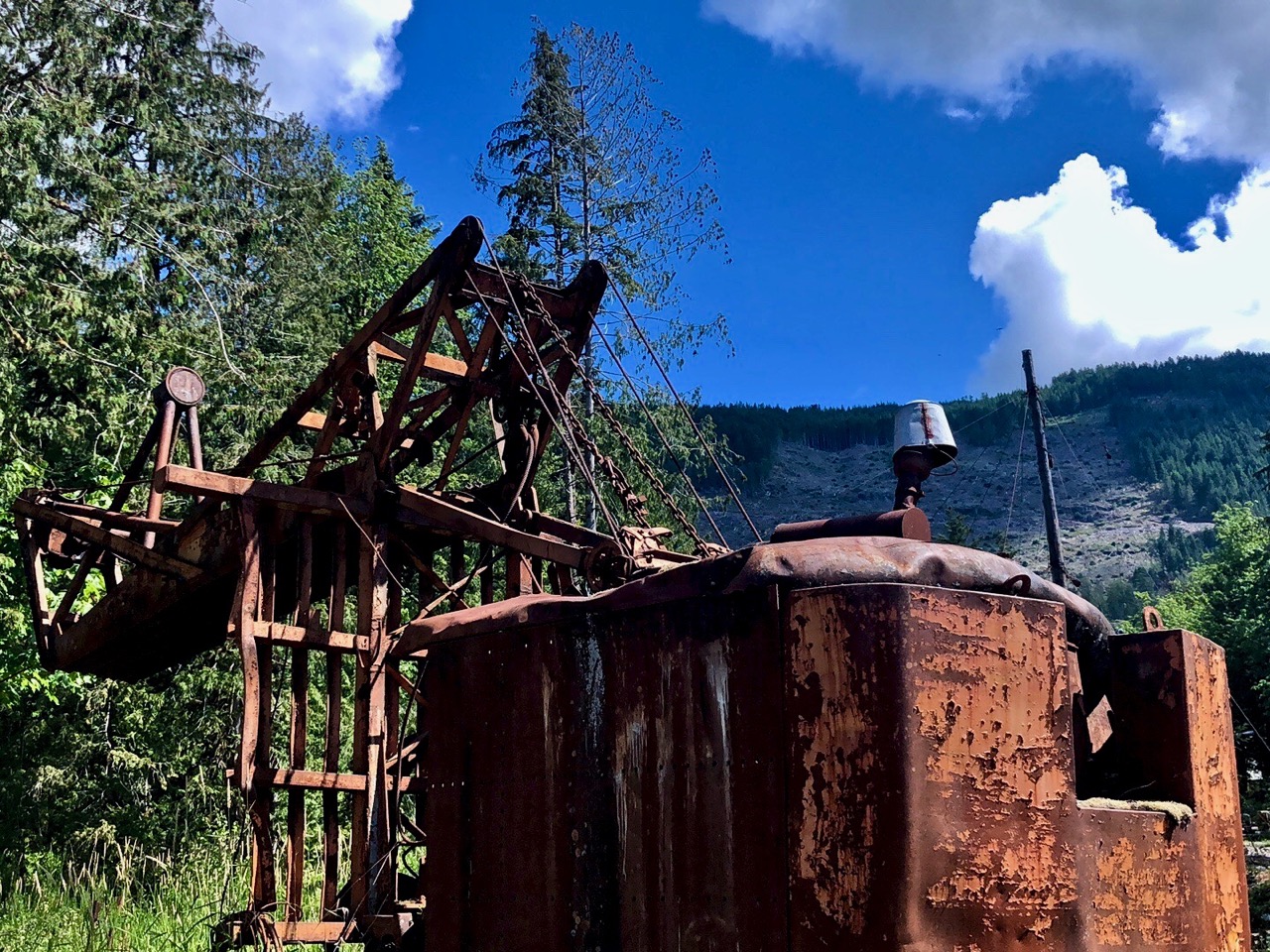
The main theme of my Pacific N.W. bikepacking tour is rail to trail.
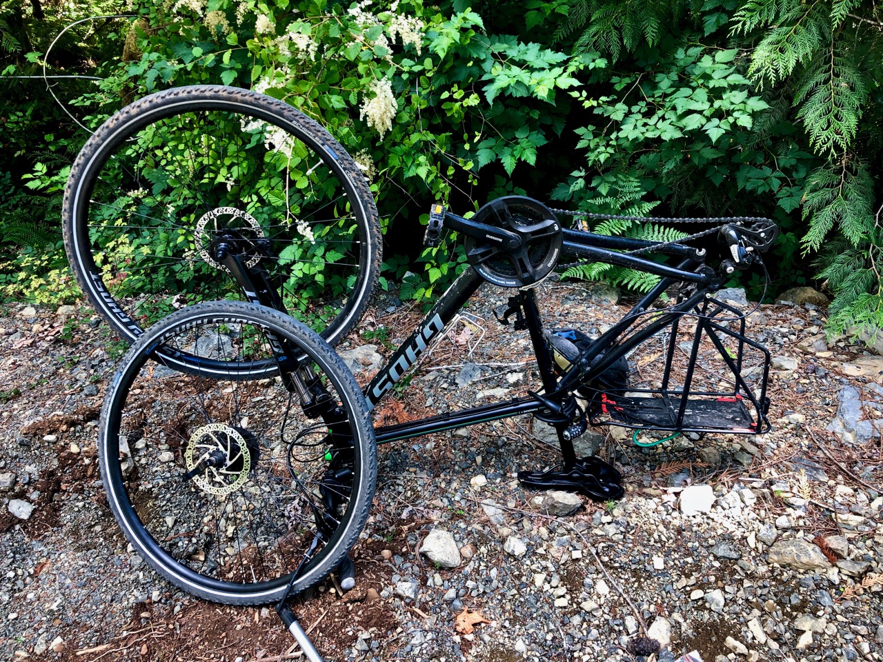
Day 2 I was on the bike shortly after 7am.
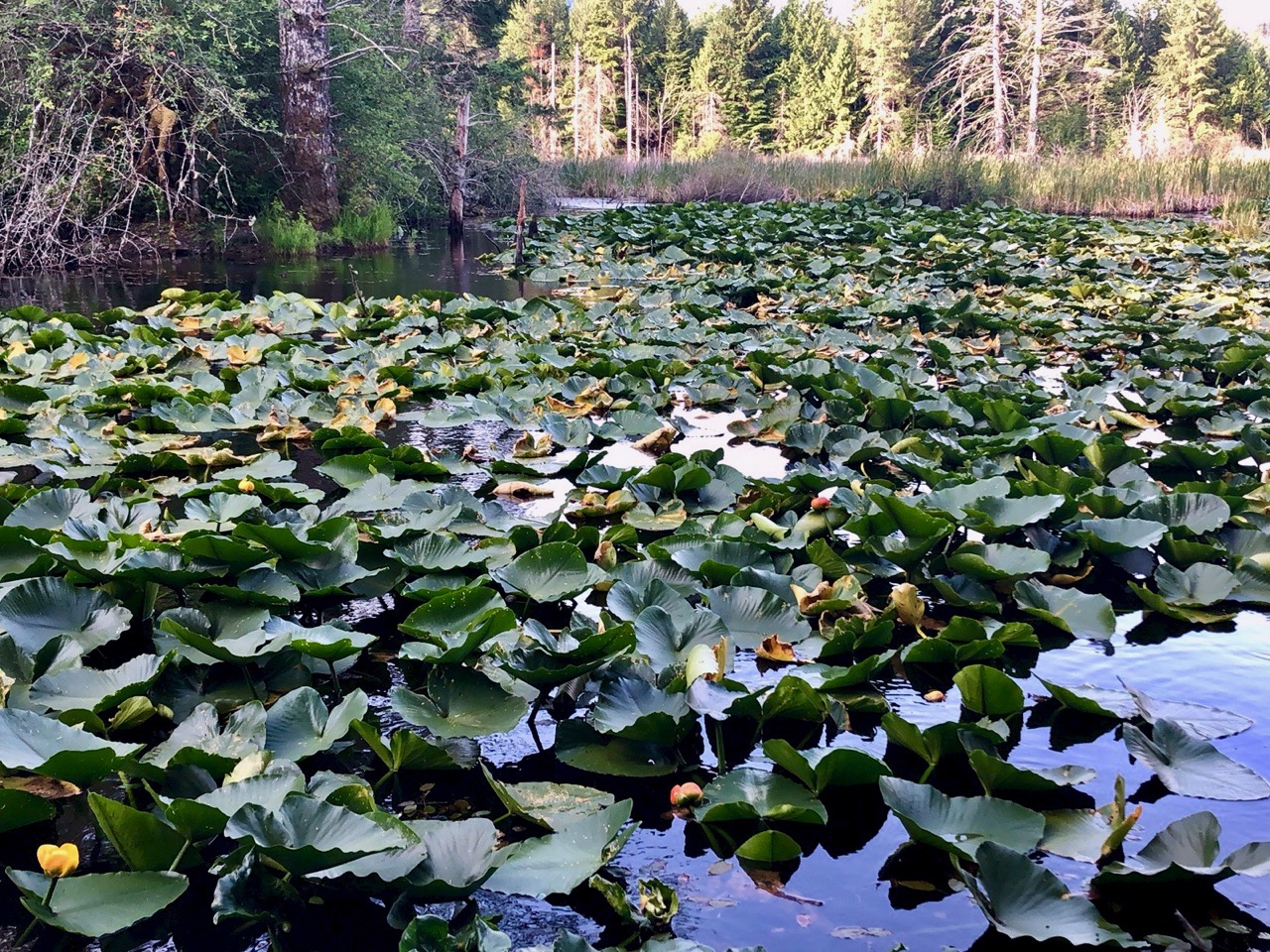
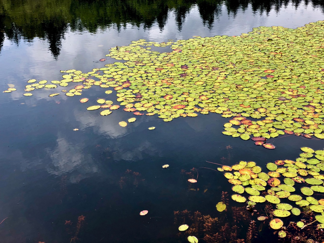
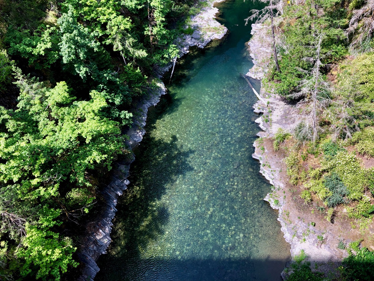
Aside from the usual, lovely temperate rain forrest, this first section included some beautiful ponds.
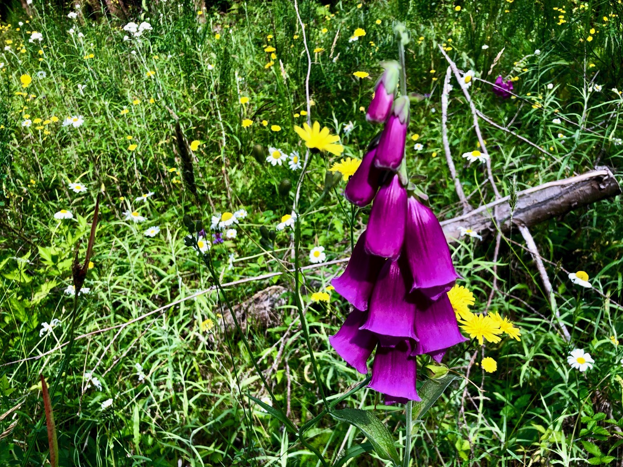
The wildflowers are lovely too.
Motivation was reaching Tim Horton’s in Lake Cowichan.
Click PLAY or watch it on YouTube.
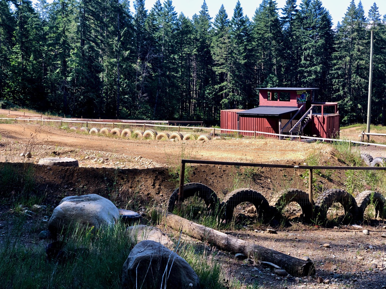
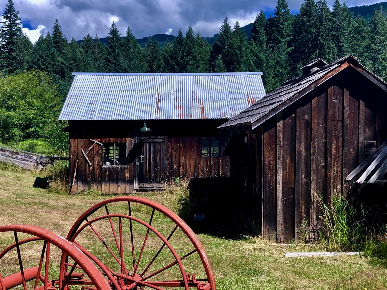
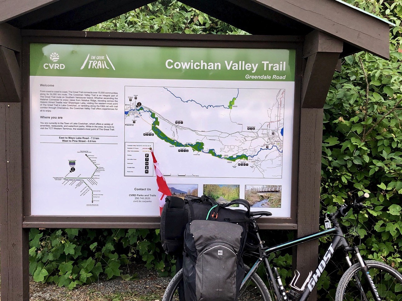
After breakfast I toured the town of Lake Cowichan, my first visit.
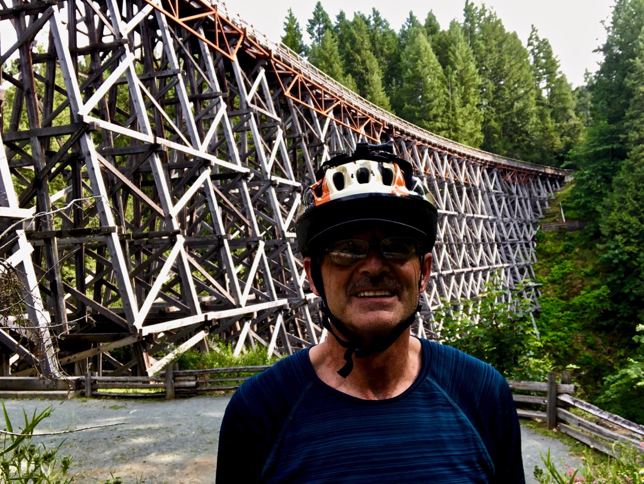
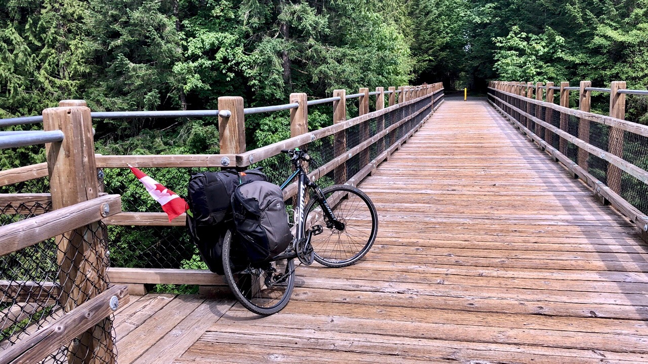
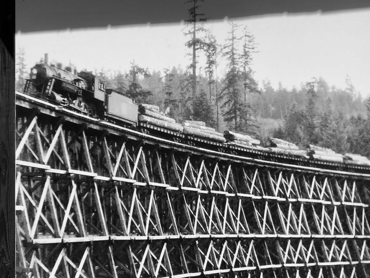
But the main reason people come to hike or ride the Cowichan Valley trail are trestles.
They are spectacular.
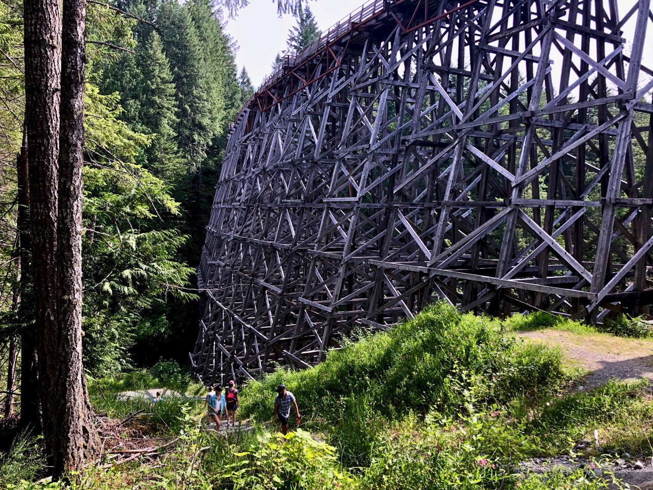
Best of all is Kinsol Trestle (named by nearby “King Solomon Mines”).
Completed in 1920, its one of the highest wooden railway trestles in the world at 44 m (144 ft) high and 188 m (617 ft) long.
It was repaired and reopened July 28, 2011.
Click PLAY or watch it on YouTube.
Day 1 | 2 | 3 | 4-5 | 6-7 | 8 | 9 | 10 | 11 | 12-13 | 14 | 15 | 16 | 17 | 18 | 19 | 20 | 21 | 22 | 23 | 24 | info | video