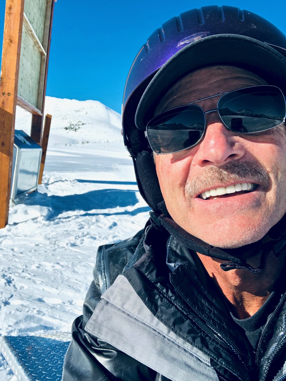
My only medical concern is high blood pressure. Need to monitor that more consistently.
I follow the high crimes and misdemeanours of Trump. The world seems to be getting worse, not better. … BUT my own life is unaffected. I don’t worry about an unexpected health care emergency as so many Americans do.
5. And, most important, what were you most grateful for in 2019, and how can you take that into 2020?
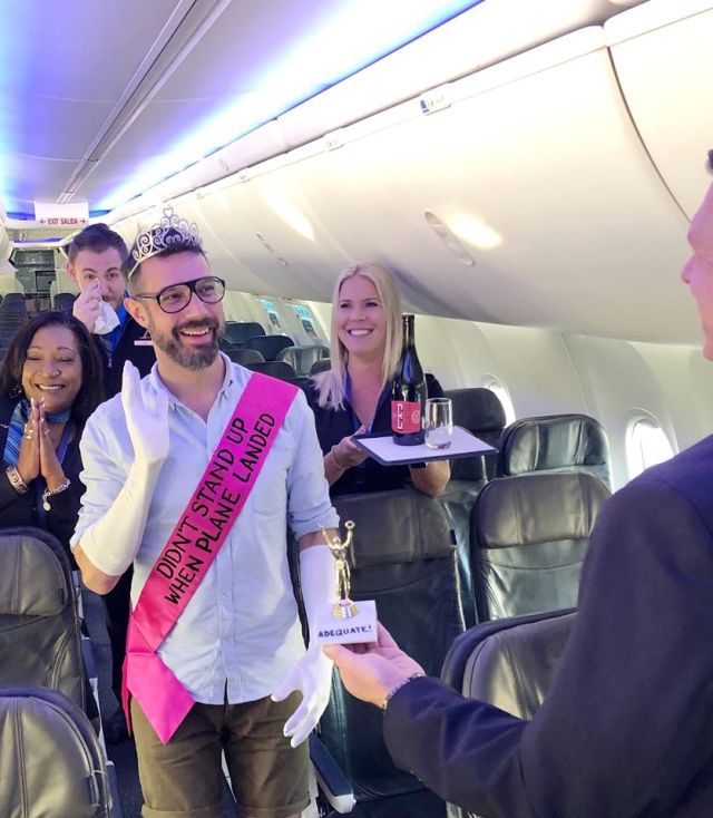
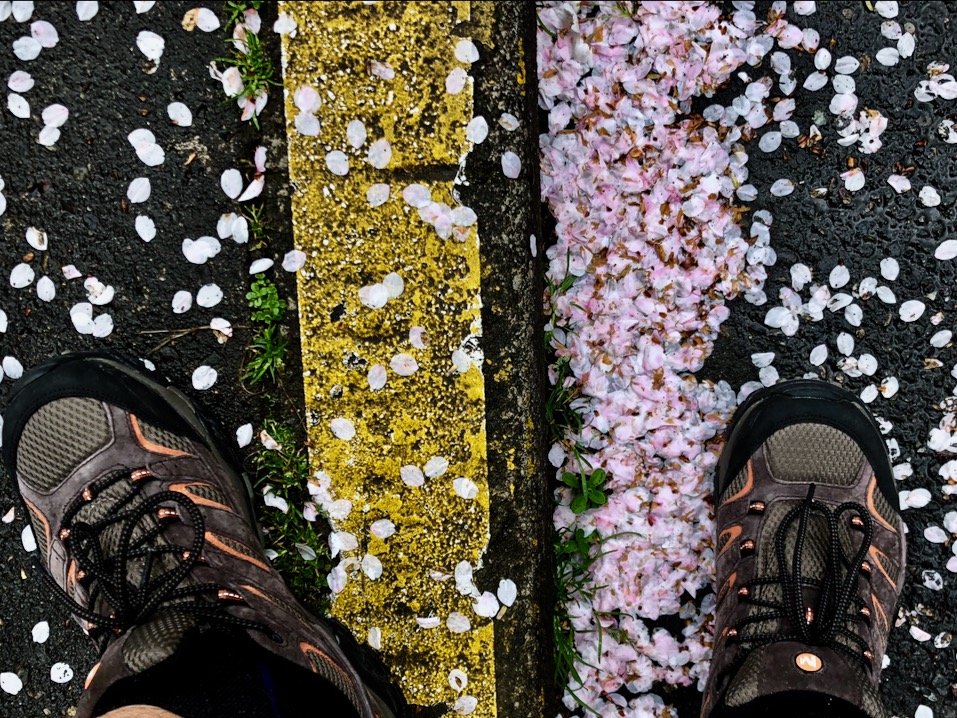
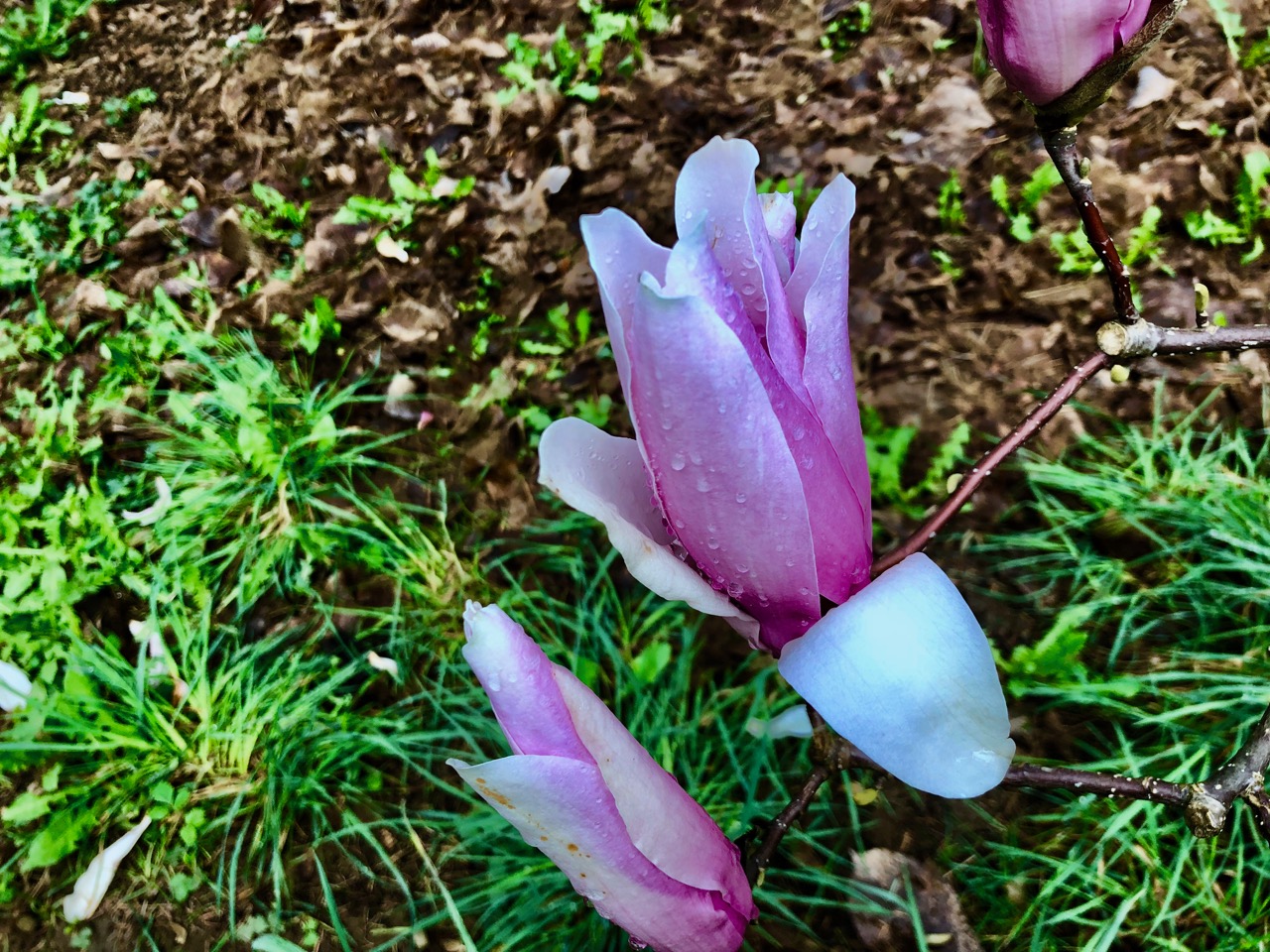
Good health. Myself and my family.
I ran more in 2019 than I have since at least 2008. Should run an hour a day at least 45 days of 2020. Enter at least 3 races in 2020.
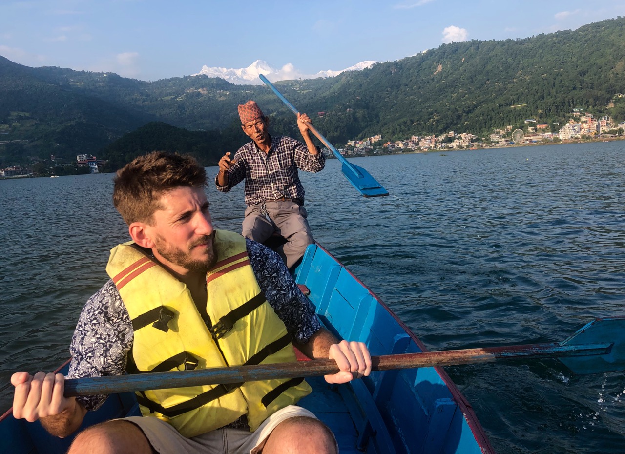
In 2019 I ended up staying in Kathmandu two days at the end of my trip as the departure was out of the city.
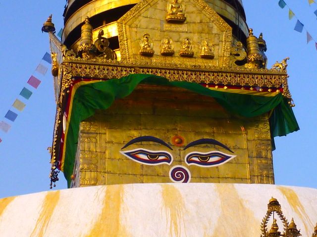
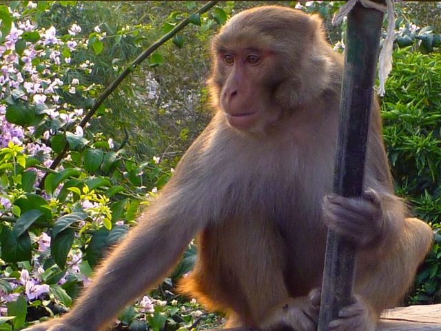
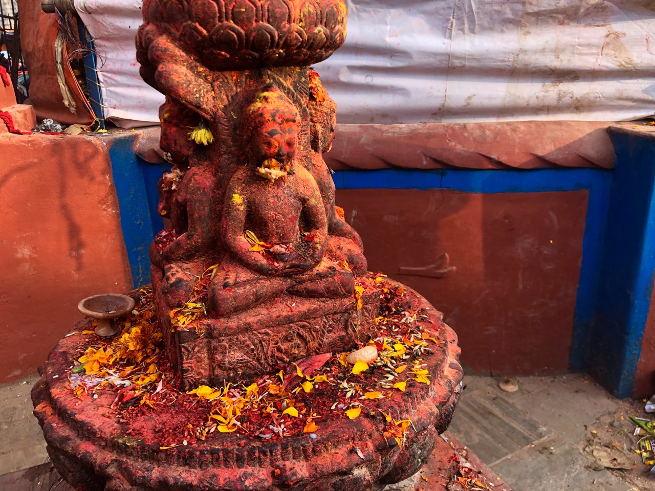
As always, I visited my favourite attraction — the Monkey Temple.
Swoyambhunath is an ancient religious complex atop a hill in the Kathmandu Valley … It is also known as the Monkey Temple as there are holy monkeys living (there) …
The Swayambhunath complex consists of a stupa, a variety of shrines and temples, some dating back to the Licchavi period. A Tibetan monastery, museum and library are more recent additions. …
The stupa consists of a dome at the base, above which is a cubical structure painted with eyes of Buddha looking in all four directions with the word “unity” in the main Nepali dialect between them …
The second night I went, as usual, to the Great Stupa. Had dinner on one of the rooftop restaurants.
The ancient Stupa is one of the largest in the world. The influx of large populations of refugees from Tibet has seen the construction of over 50 Tibetan Gompas (Monasteries) around Boudhanath. As of 1979, Boudhanath is a UNESCO World Heritage Site. …
Tibetan merchants have rested and offered prayers here for many centuries. When refugees entered Nepal from Tibet in the 1950s, many decided to live around Boudhanath. …
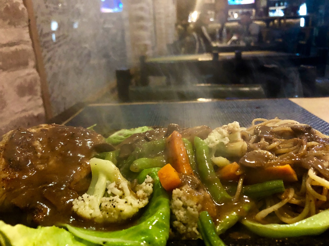
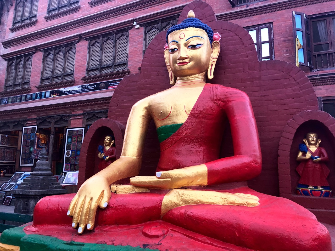
Here are a few other random photos from my last days in Nepal.
Sizzler at Rum Doodle (new location)
unique and excellent donair Nepali-style
I’ll be back. There’s no better way to hike the Himalayas than from Nepal.
Canada’s Great Trail app is better, but still sucks
I love the free maps.me app … but it’s lacking in North America as not many people use it here. It steered me wrong a number of times.
Google maps offline is not much help as it only shows automobile routes.
a British cyclist recommended the free ridewithgps app. I’ll try it next.
Canada’s Great Trail (formerly called the Trans Canada Trail) was better than I expected. B.C. includes many of the best sections.
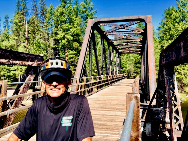
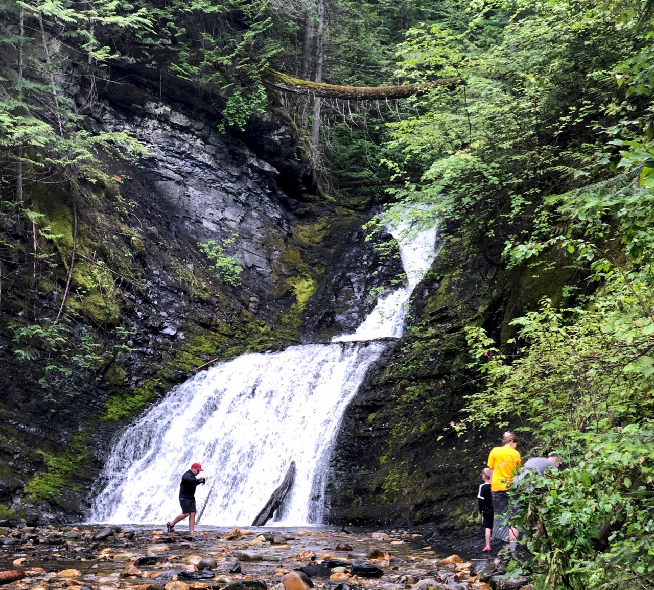
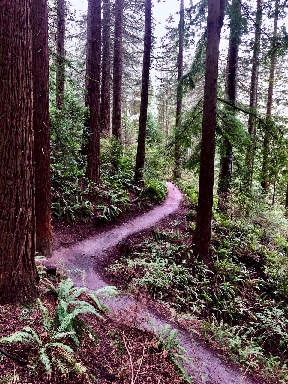
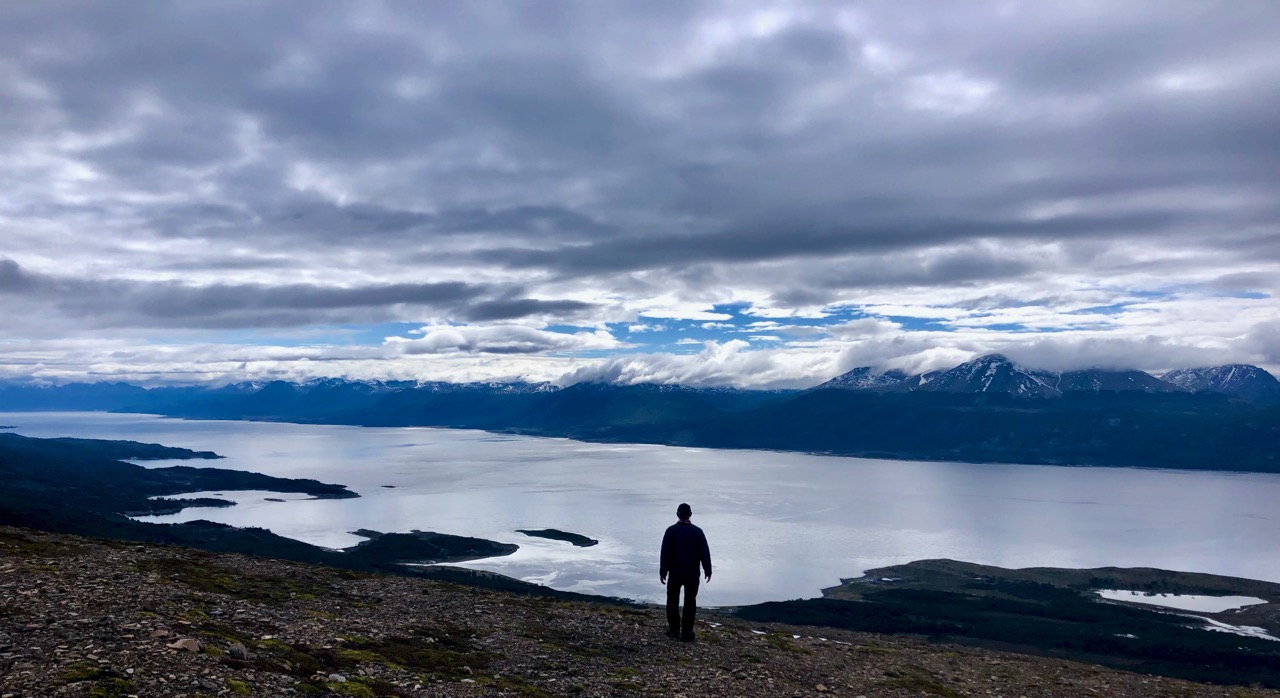
I hiked less than anticipated
Sweet Creek Falls, Idaho
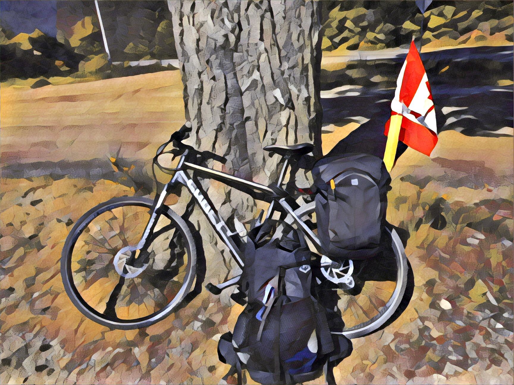
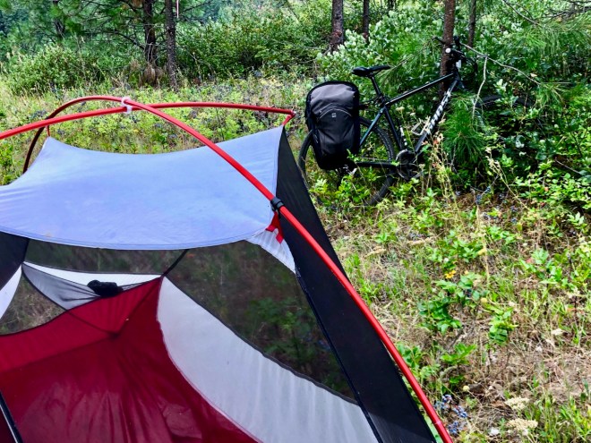
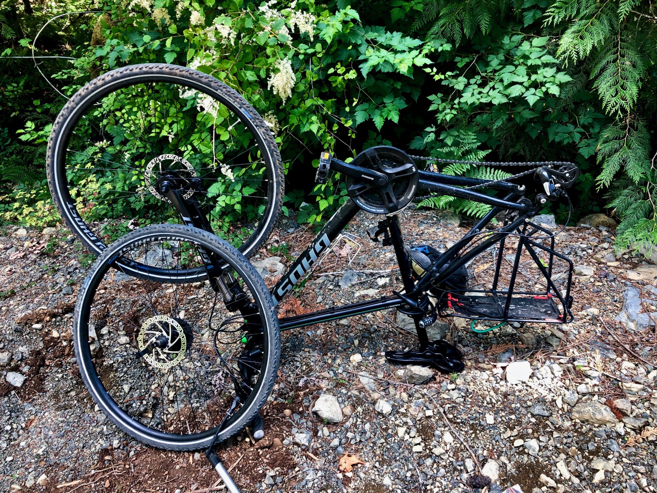
I had too much weight on the back. Next time I’ll use saddlebags mounted in front and (possibly) mid-frame
bikes need a lot of maintenance. And I’m the worst at bicycle maintenance. En route I fixed one flat. Had 4 broken spokes. Visited 4 bike shops. Had both tires upgraded.
Dave had his guys replace the chain and some other hardware. That helped immensely.
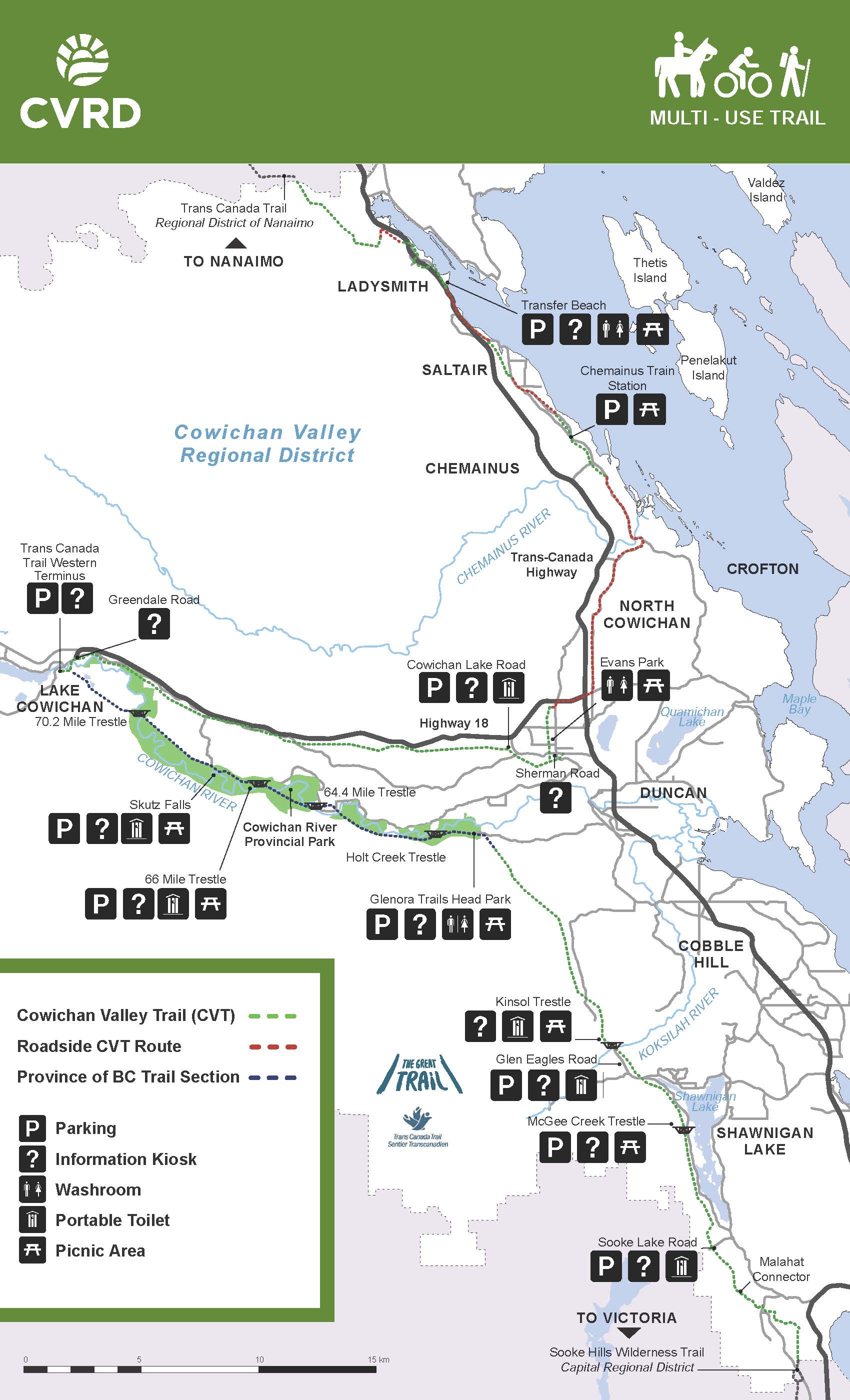
I started in Nanaimo wanting to get to Lake Cowichan as quickly as possible.
Lake Cowichan is the western terminus of the Great Trail.
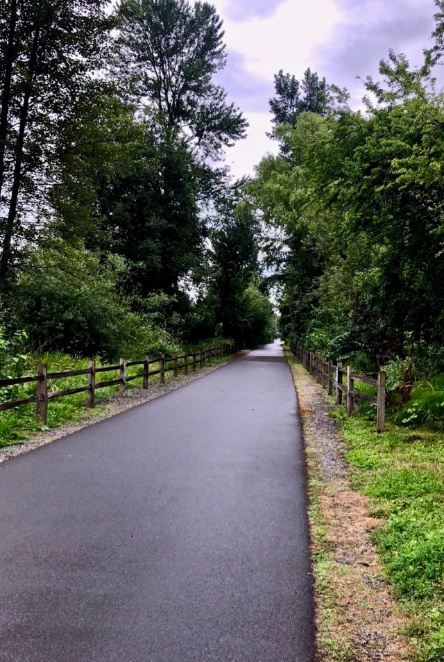
Lake Cowichan to Victoria on the Cowichan Valley Trail
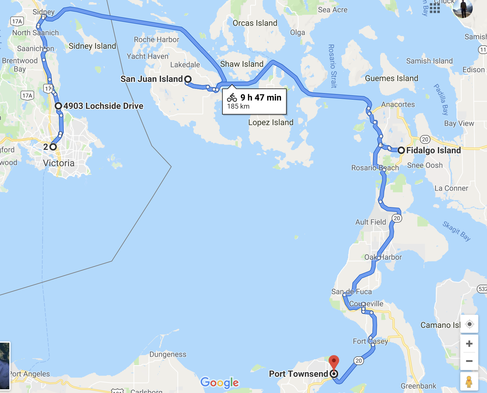
2. Islands to Port Townsend WA
After visiting friends in Victoria, I took the most direct route to visit friends in Port Townsend via the American San Juan Islands.
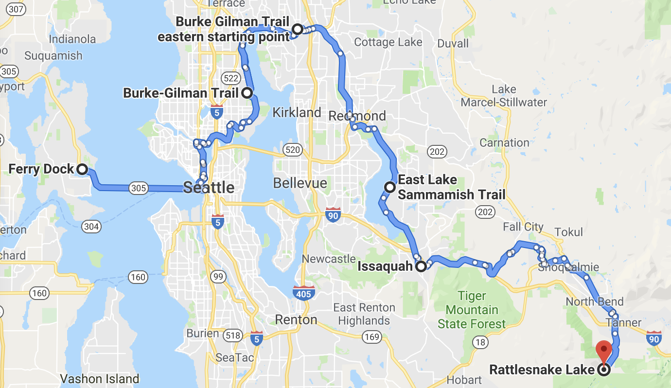
3. Port Townsend WA to Rattlesnake Lake WA
To avoid some highway miles, Doug & Diana delivered me to the Bainbridge ferry. I cycled the Burke-Gilman rail to trail and others connected to get to the fantastic Iron Horse Trail out of Rattlesnake Lake.
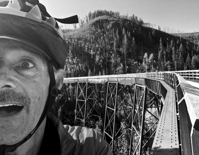
4. Rattlesnake Lake WA to Tekoa WA on the Palouse to Cascades State Park Trail
5. Eastern Washington
Just past Ellensburg I was forced off the semi-official GART on to secondary highways and alternative trails that took me through Spokane.
I found this section of GART to be too soft and sandy for my tires. Also it was too disconnected.
I finally stopped at Plummer, Idaho. Dave Adlard picked me up. We dropped the bike at a shop for repair as I’d broken 3 spokes the previous evening. And then took an indulgent 8 days off in Couer d’Alene.
6. North to Castlegar
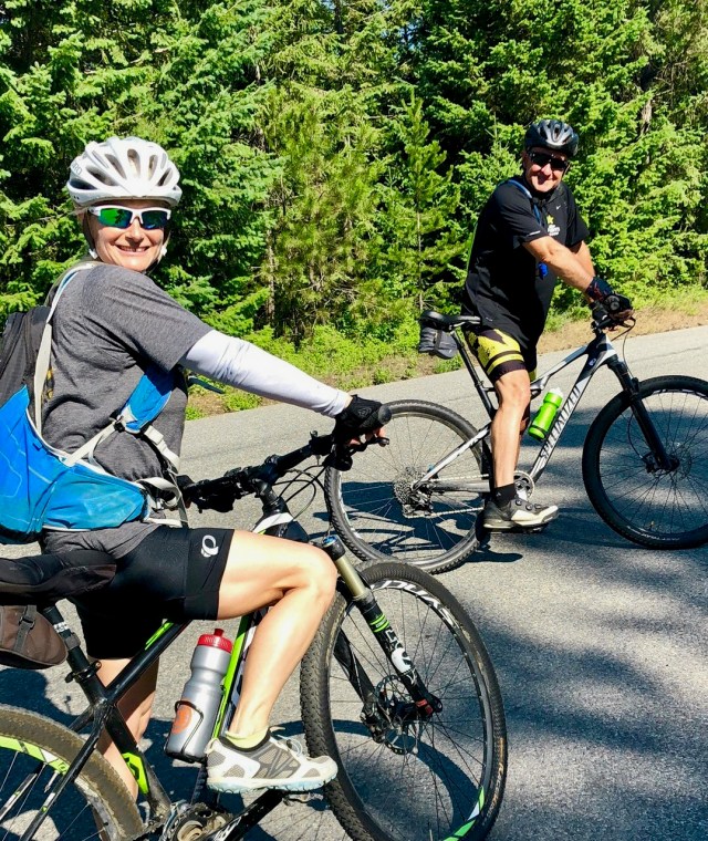
Dave and Jeni rode with me away from the Adlard log cabin in Athol. We headed towards Sandpoint on back roads and I later rejoined the route shown in the map below. Dave had suggested I cross the border close to pretty Metaline Falls.
6. Castlegar to Hope
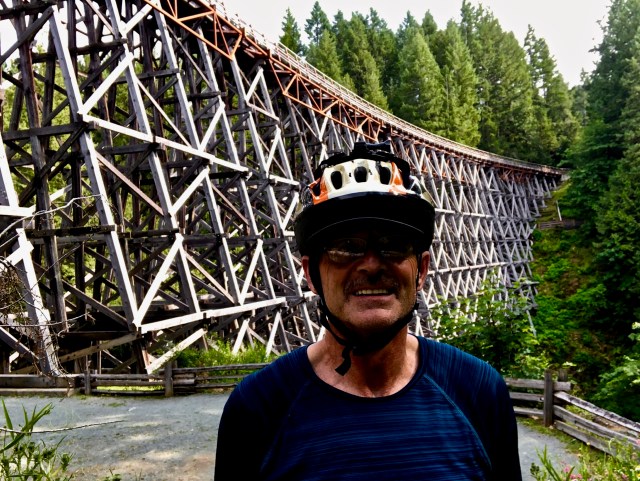
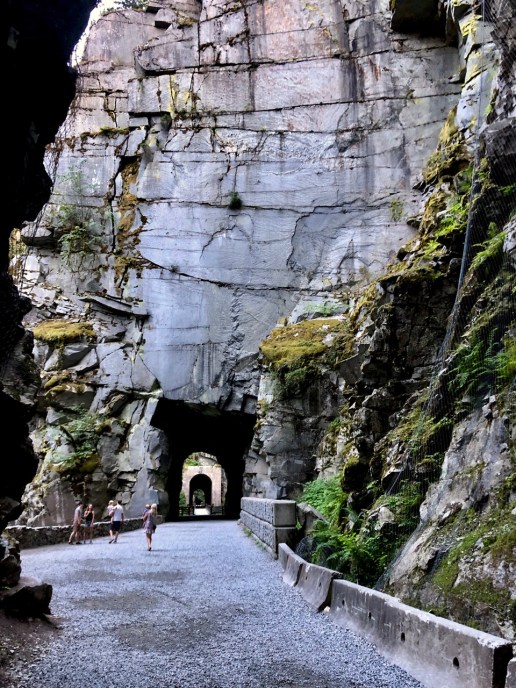
For decades I’d wanted to ride the Kettle Valley Rail (KVR) Trail and the Columbia & Western Rail Trail. It’s totally wonderful. And obviously one of the great cycling routes of the world.
Hope to Vancouver and on to Parksville on the Island was problematic. There is no excellent route yet available. Cyclists I met took a number of different roads.
Psychologically finished at Hope, I managed a series of rides, buses, trains and ferries to cover the 240km in about 36 hours without sleeping.
It generates Google Earth videos with the photos you too included.
Here’s an example from the FREE version of the software.
The free version adds a maximum of 10 photos. For up to 50 photos you must join the CLUB which costs US $60 / year.
Mapping works in conjunction with Strava, Runtastic, Endomondo, Garmin Connect, Suunto, Apple Health (Watch), MapMyRun, MapMyWalk, MapMyRide, MapMyHike and Polar Flow.
I might be using the free version of Strava. Otherwise I’ll use Apple Health.