I do recommend Strathcona for one and all. In fact, I want to return for some longer hikes after August 1st when there will be less snow and easier navigation up high.
Strathcona Provincial Park (1911) contains the highest peaks of the Vancouver Island Ranges. Some notable mountains located within the park boundaries include:
Golden Hinde (2198 m)
Elkhorn Mountain (2166 m)
Mount Colonel Foster (2129 m)
Mount Albert Edward (2093 m)
Exploring Strathcona Park is the best guidebook. It’s not inexpensive, but worth it. Great maps. Colour photos. Comprehensive coverage.
Author Phil Stone is truly an expert.
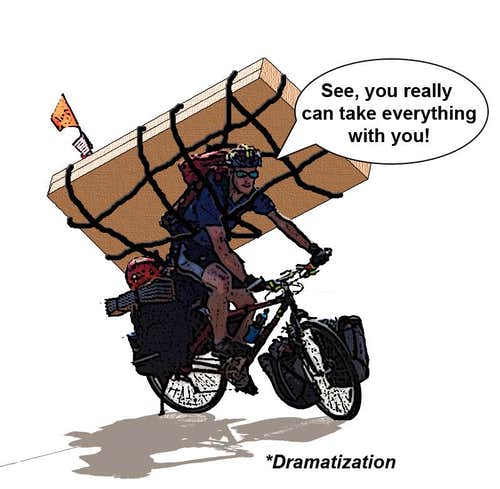
I’ll be carrying a dead tree copy on my bike.
And I plan to be spending quite a bit of time in Strathcona over coming years working towards establishing a possible coast-to-coast Vancouver Island route.
It’s easy to connect to Nanaimo Lakes road, a great ride with little traffic, other than cyclists.
For the second time I tried to get through Nanaimo Lakes to Cowichan by remote, private logging roads. I made it further this time, but still didn’t get through.
Folks living at Second Lake scowled when I got to the second closed vehicle gate. They were about as happy to see me as this mama with only 1 chick remaining.
Happily, I knew of a lovely remote creek campsite nearby I’d used before.
Turning back next morning, I headed to Cowichan via the normal route: Nanaimo River Road, Highway #1 to the lovely CowichanValleyTrail which starts close to Duncan.
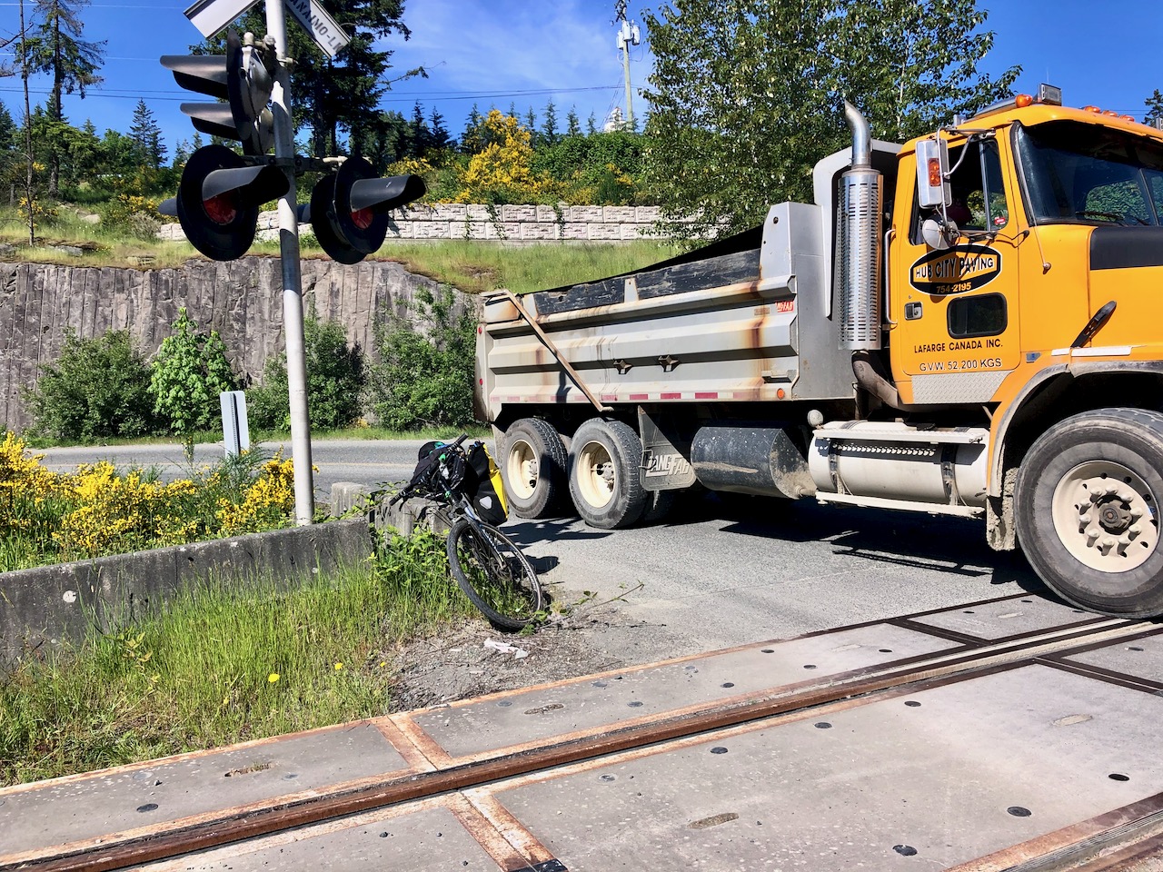
I always try to avoid traffic, but it’s inevitable here to share the road with logging and gravel trucks.
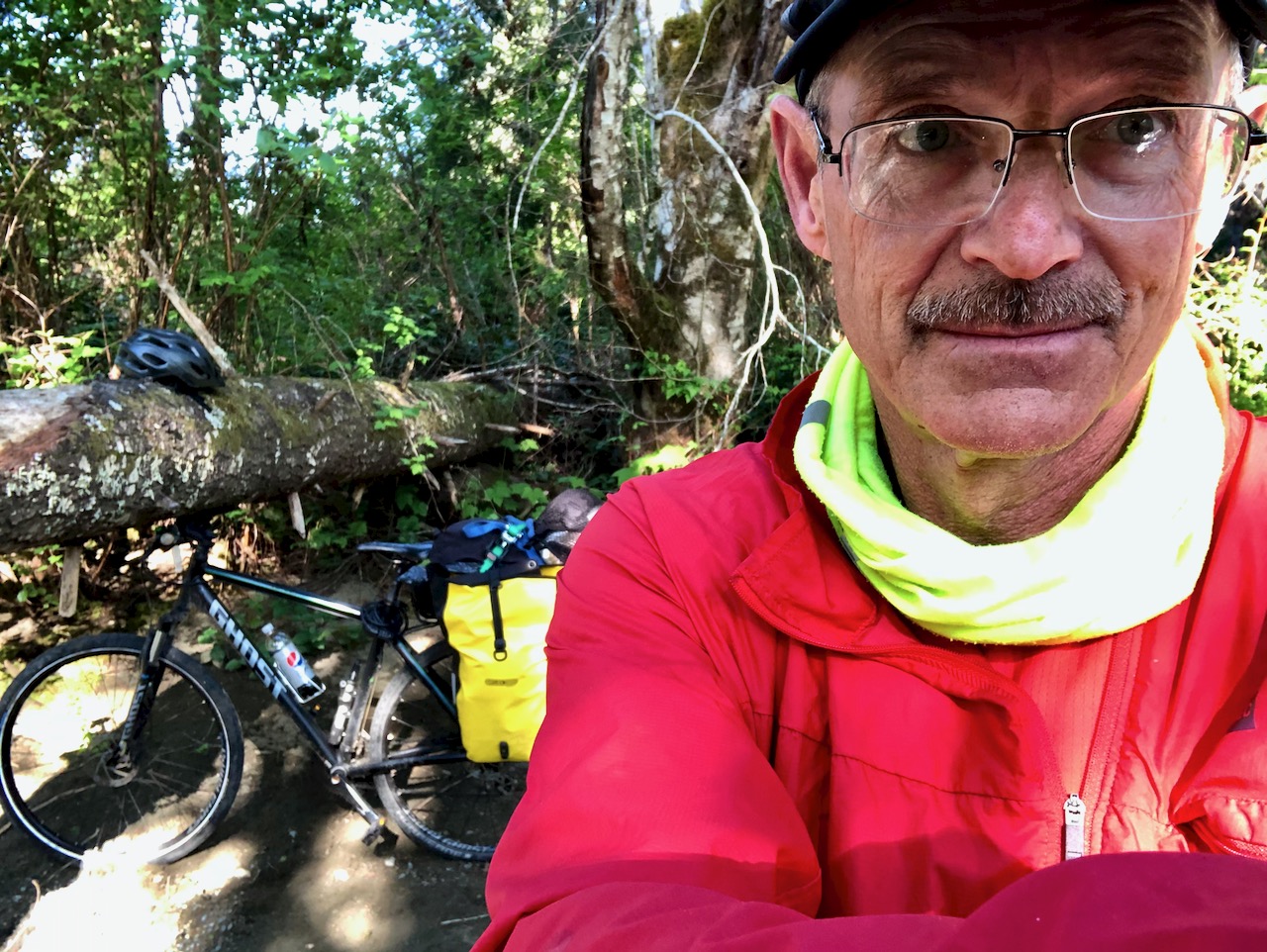
I was tired this day by the time I finally set up camp. 105km on mixed trails and roads.
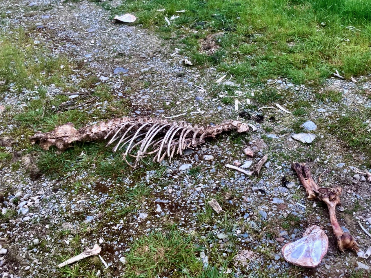
By all the bones strewn nearby, I assume this is a popular area with hunters during season.
A perfect cycling road is Cowichan to Port Renfrew: paved 2 lane, no traffic.
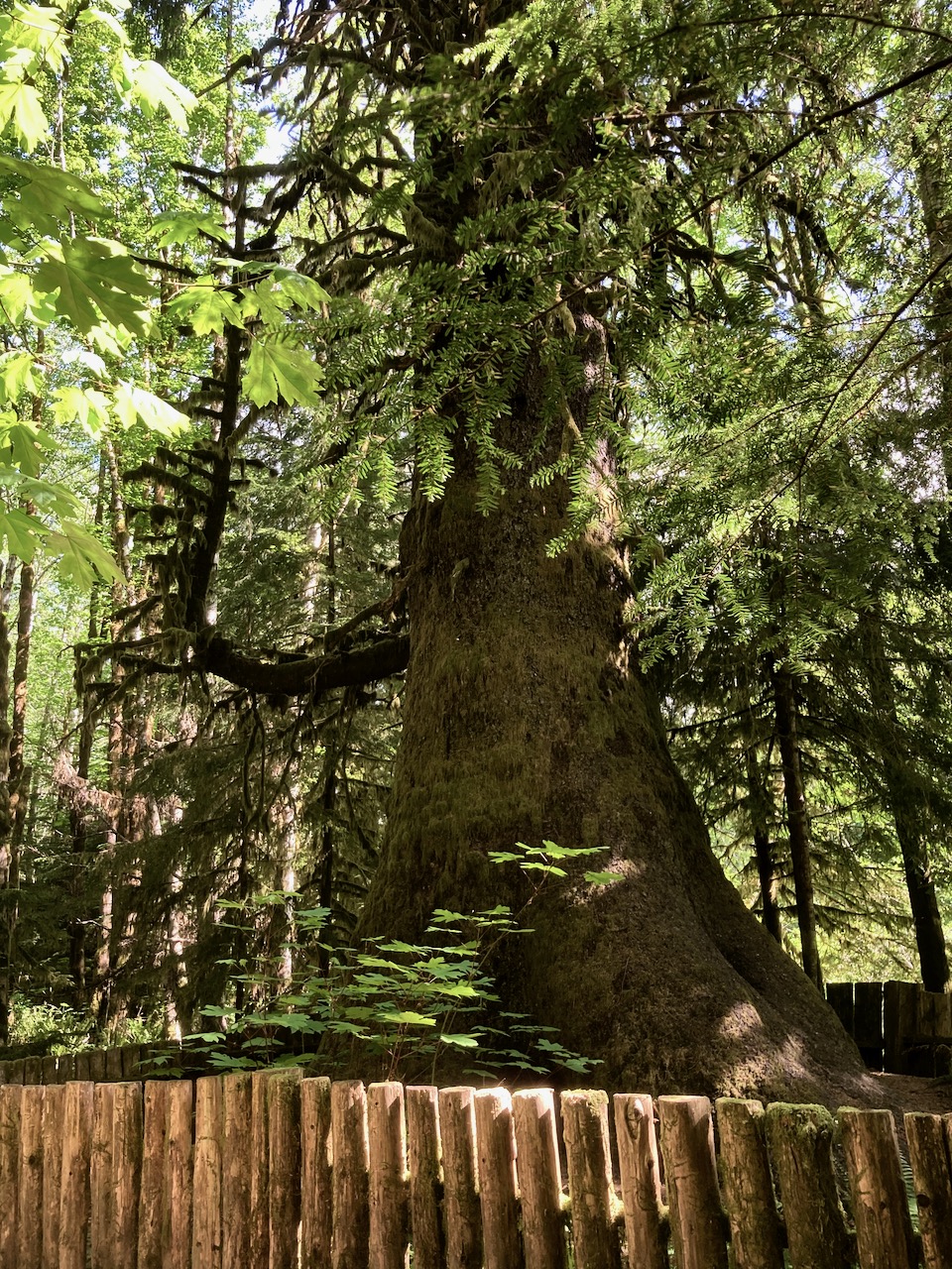
There are a couple of campsites en route. And the Harris Creek Sitka Spruce. For some reason in the late 1800s, loggers spared this one tree.
Port Renfrew, like Bamfield, has a large First Nations population most cautious when it comes to communicable disease.
I felt quite unwelcome on arrival. Everyone there told me to return after June 7th when it planned to open.
The signs still said CLOSED, though most Provincial Parks trails were already open.
Checking it out, the biggest mistake of my trip was rolling downhill from the highway to the Parkinson Creek Trailhead. It’s a long, long descent. I ended up pushing my bike uphill on the return.
I’d never seen so much bear scat at any one place, one time. Seems without humans this season, bears have taken over the coast.
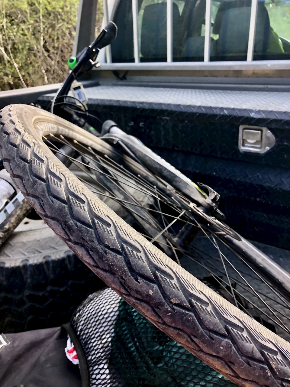
Carrying on down the highway, I finally got a flat tire. My first of 2020.
BUT was quite pleased with myself that I seemed to repair it efficiently.
Since I’d taken the gear off the bike to fix the flat, I decided to camp in the trees right there.
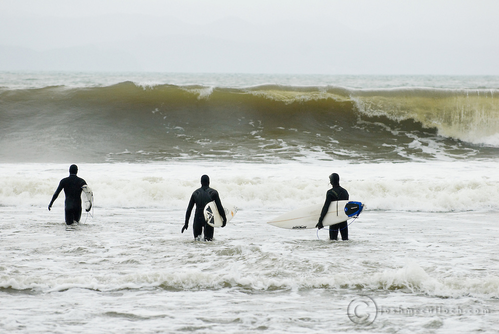
Surf was up next morning. So there were plenty of young people on the highway with boards and surf kayaks. The beaches seemed to be still officially closed, but it was not being enforced.
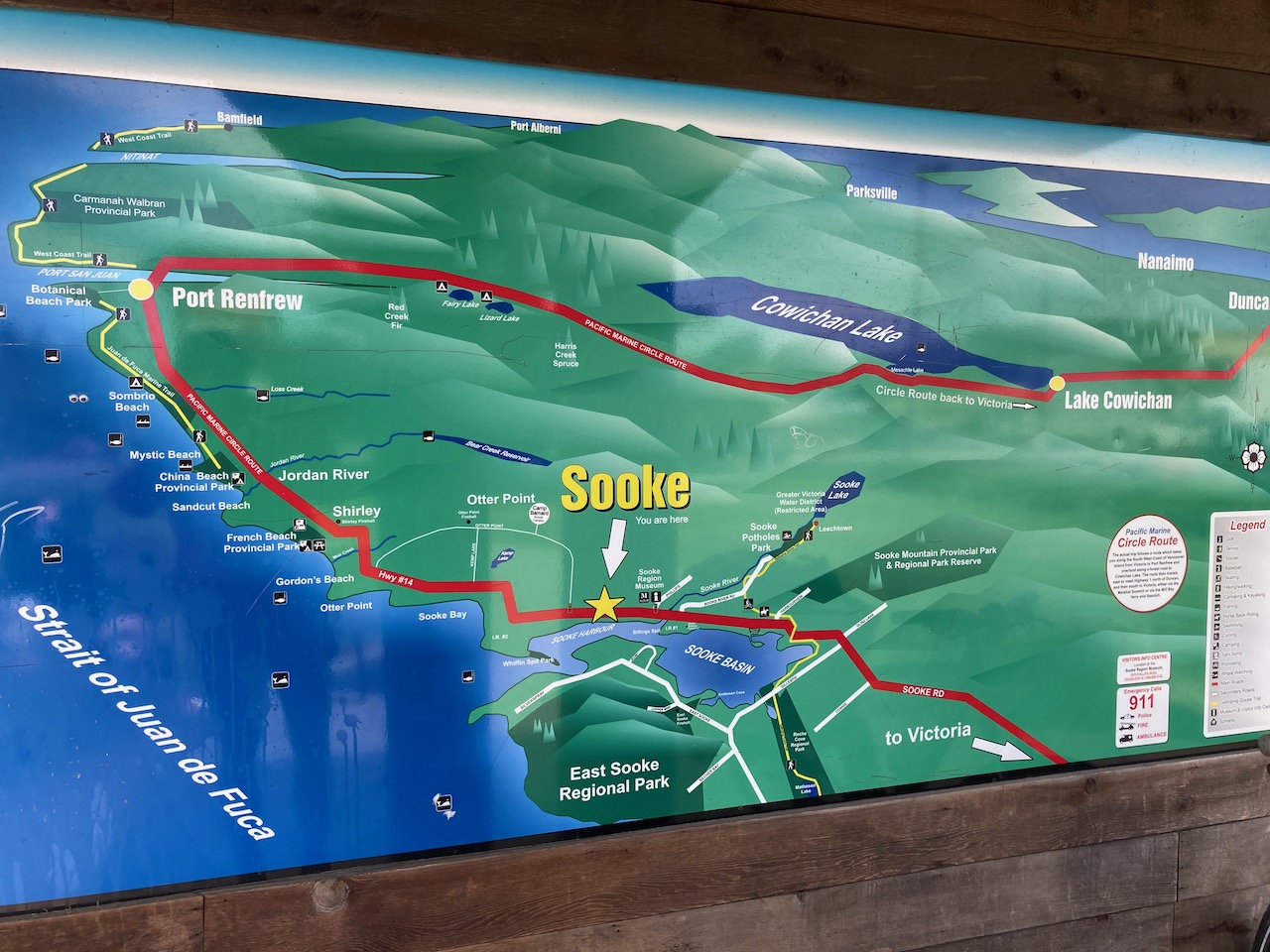
I stopped often on this highway as there are many highlights between Renfrew and Sooke.
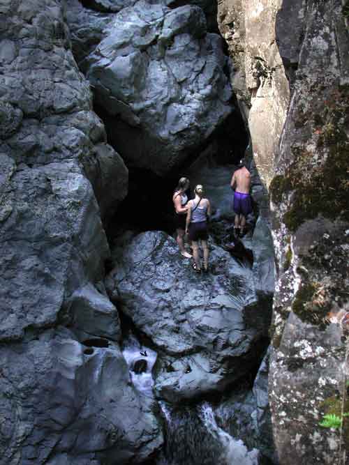
After finally reaching a Tim Hortons, I continued up the Galloping Goose to impressive Sooke Potholes, my first visit.
A ghost town now, it boomed when gold was discovered 1864,
My maps said I could continue to Shawnigan on logging roads, yet I couldn’t seem to find a way through past Kapoor. Everything was fenced off protecting the Victoria drinking water supply.
No worries. I backtracked on the excellent Galloping Goose towards Victoria, cutting inland to the fantastic Sooke Wilderness Trail.
Jude Law is the conspiracy theorist flogging a fake cure.
… The film has received renewed popularity during the COVID-19 pandemic.
There are many parallels between the fictitious MEV-1 and COVID-19.
But MEV-1 is much more severe. More like the 1918 Flu.
In a flashback, a bulldozer razes palm trees while clearing a rainforest in China that disturbs the natural habitat of some bats. One bat finds shelter in a pig farm and drops an infected piece of banana, which is eaten by a pig. The pig is slaughtered and prepared by a chef in a Macau casino, who transmits the virus to Beth (Paltrow) in a handshake.
But Arabian Journey was fascinating from start to finish. I listened to the audio version with the author reading.
He started September 2017 in Northern Syria during the final days of ISIS.
He then moved through the Middle East for six months, often without a plan or visa for the next stop. He slept on the rocks of the empty quarter and in 5 star hotels. He had guides. And hitchhiked through war zones.
… Wood will share tales from his most recent journeys across some of the most perilous danger zones on earth.
With behind-the-scenes moments from his travels over the Caucasus mountains and his circumnavigation of the Arabian Peninsula, Levison will challenge the myths and stereotypes that plague these ancient lands.
Levison’s fascinating and humorous anecdotes reveal the real life stories of the ordinary people he met who call these places home: from Palestinian fighters to Iraqi snipers; refugees to Bedouin nomads.
If you want to know what it’s like to be ambushed by ISIS, have tea with Hezbollah and cross pirate-infested waters in a wooden dhow …
Blood Road, according to director Nicholas Schrunk, “set out to document an epic cycling expedition as well as Rebecca’s personal journey to visit the crash site [of her father], but we ended up uncovering something much deeper.
It’s a story about the scars, both physical and emotional, that war leaves on families, countries, and cultures, and how they still exist today.
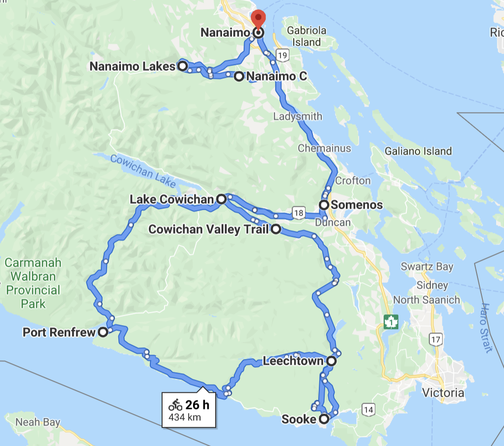
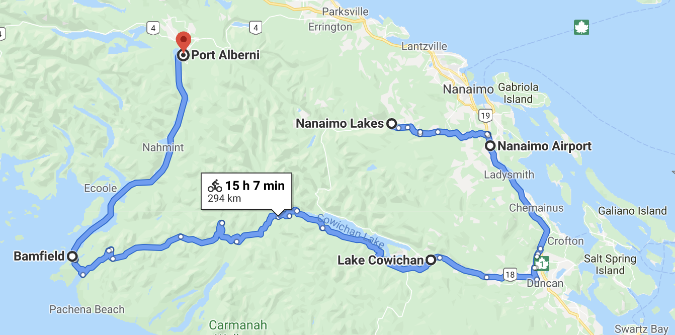
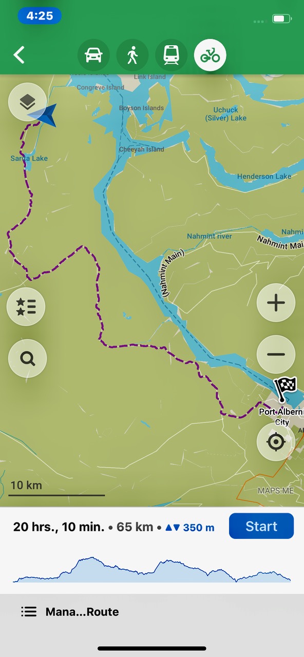
This map gives you a general idea of what I ended up doing.
Dad dropped me near the Nanaimo airport April 16th. A trip both ethical and legal on Vancouver Island during COVID-19. That’s my story, I’m sticking with it.
Plan was to start on paved Nanaimo Lakes road. Then find my way via gravel logging roads to Carmanah and/or Bamfield. I was playing it by ear.
I’d camp on Crown Land.
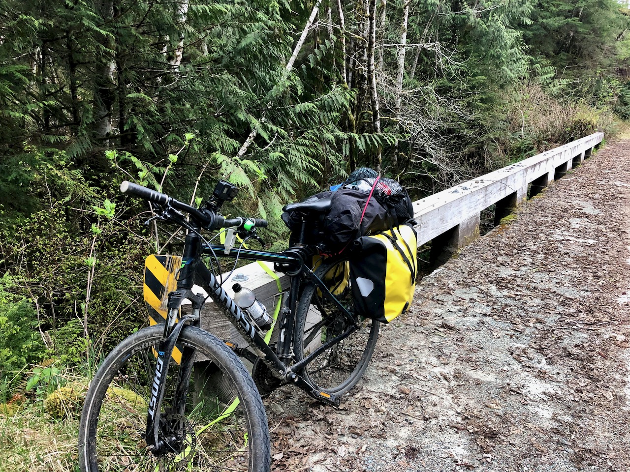
New to me was the excellent Parkway Trail close to Nanaimo. What a great cycling town.
LOTS of vehicles on Nanaimo Lakes road. Most had driven out for mountain biking on trails like this. There’s very little development.
Next morning the logging gate was open. Looked like a go.
BUT about 3km further along a flagman turned me back. With apologies. They were using the BIG off road trucks today. No other traffic allowed.
So I headed back towards the Nanaimo airport on another quiet paved highway called Nanaimo River road. Also excellent for cycling.
From there I took to the main highway down to Ladysmith Tim Hortons. And on to the Cowichan Valley trail which I’d taken last summer.
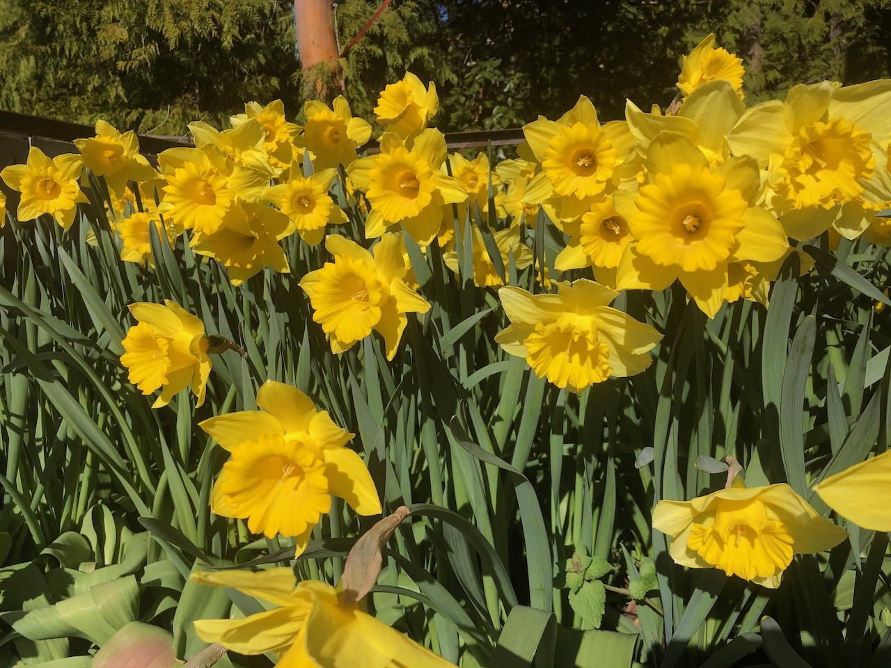
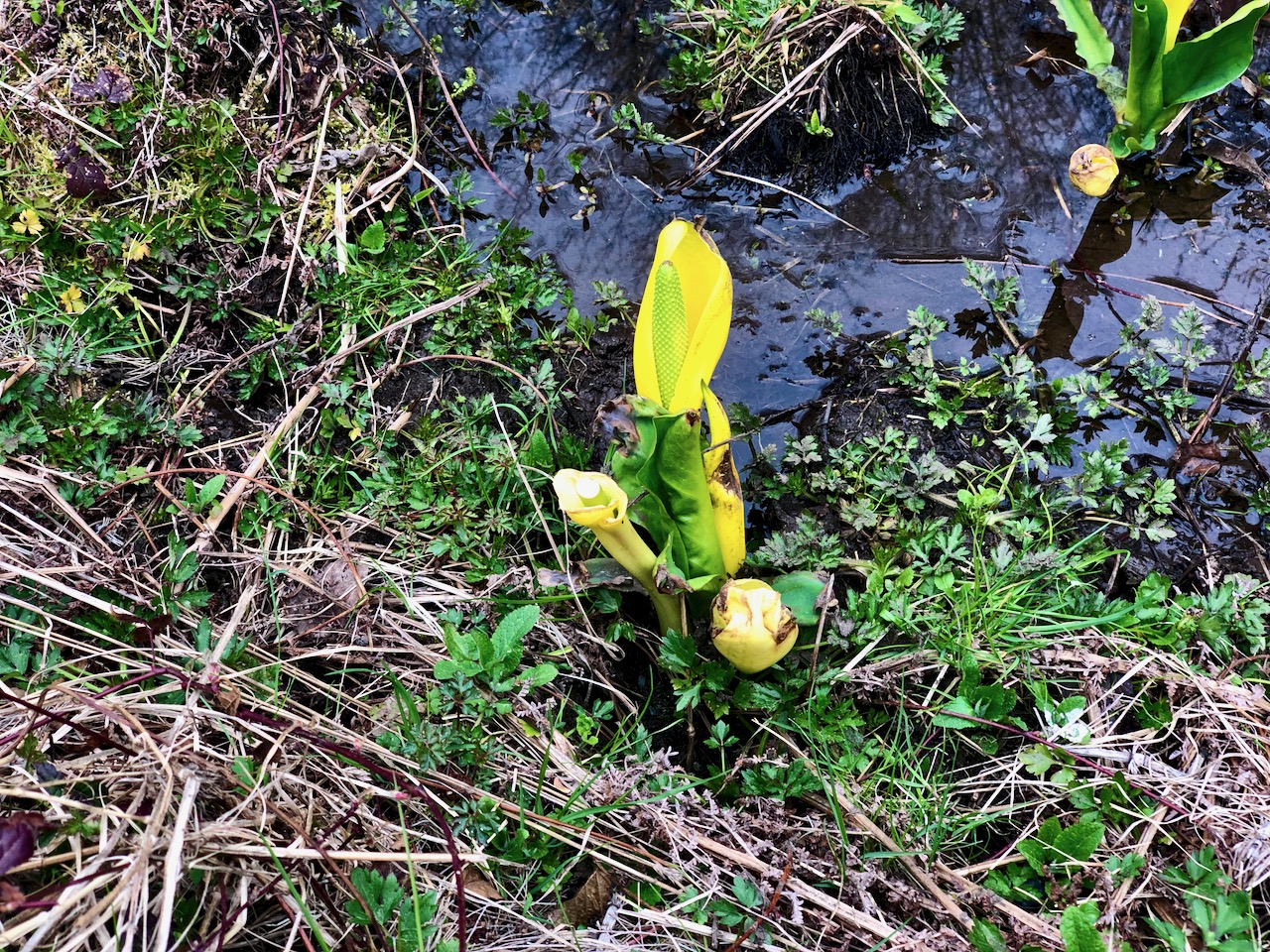
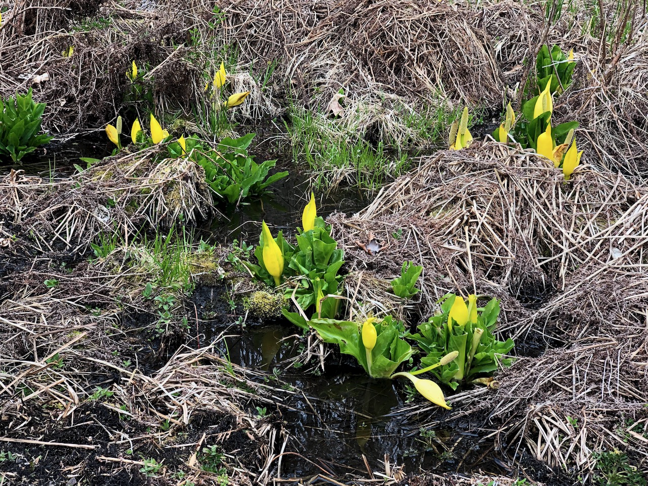
The most conspicuous vegetation in April is western skunk cabbage. Rockin’ Ronnie explained that it’s one of the first flowers to bloom in late winter or early spring because it creates it’s own heat.
Lucky me. Another Tim Hortons. This time in Cowichan.
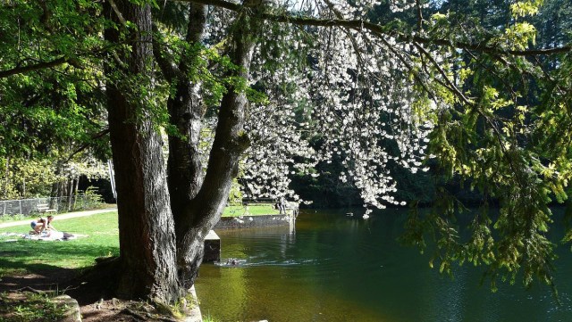
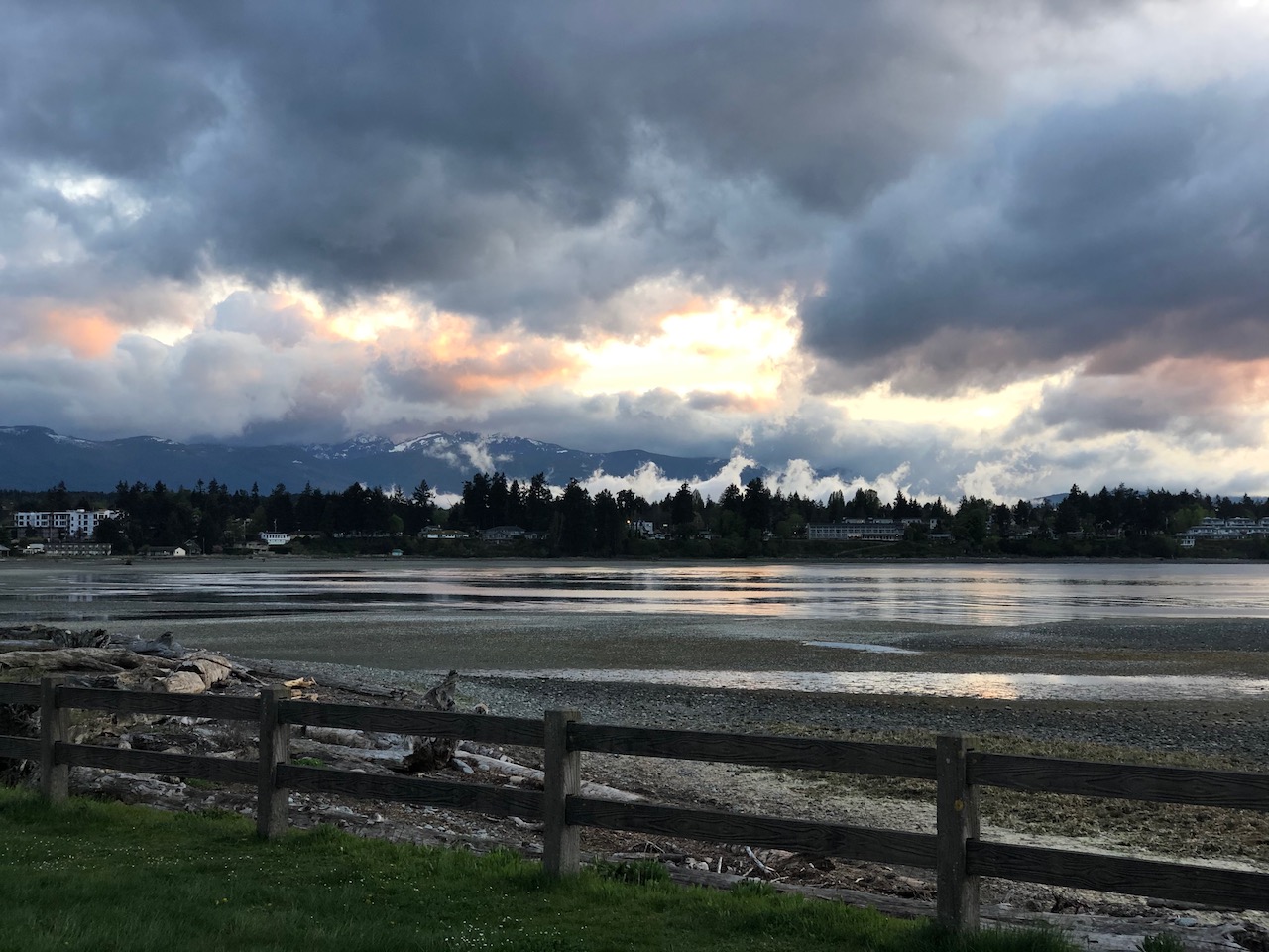
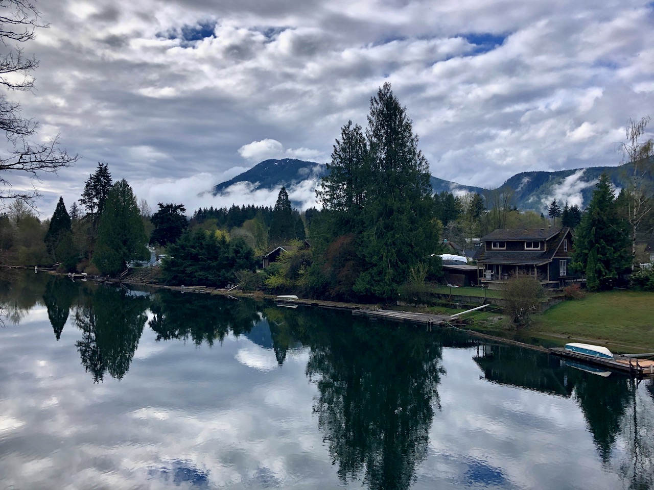
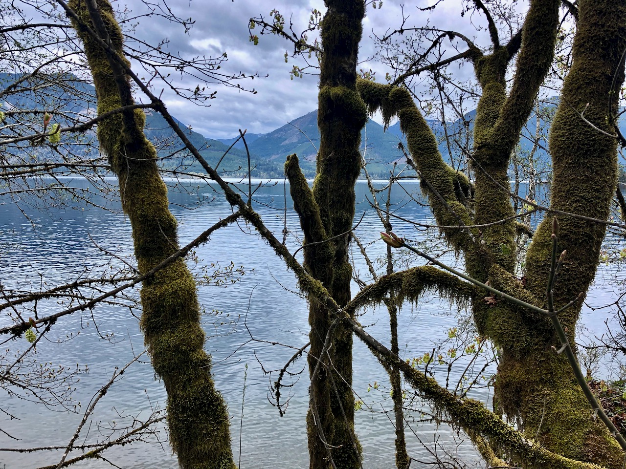
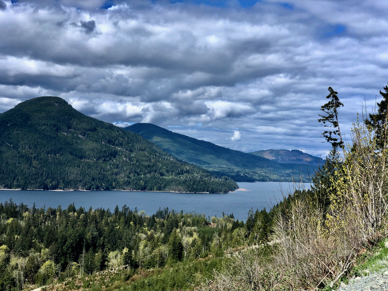
It rained most of the night. A beautiful calm morning on Cowichan Lake.
Only my second time visiting the town, I do like it.
From here I had to decide whether to ride the north or south side of the big lake. Google Maps recommended south side, perhaps because a short section is paved.
Unfortunately there is little development and few lake vistas from the south.
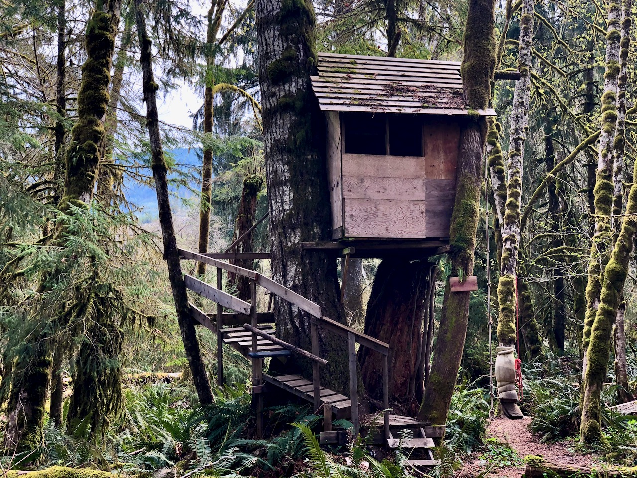
The most interesting spot was Heather Campsite (closed) which has all kinds of swings and ladders for campers. Looks fun for kids.
I had the Backroads Mapbook, Maps.me and Google maps … and several choices of logging roads heading towards Bamfield.
I ended up taking the main road, perhaps longer but in better condition than the rest.
I pedalled steadily for hours seeing almost no development. No people. Perhaps one motor vehicle an hour.
Canada is vast and empty for the most part.
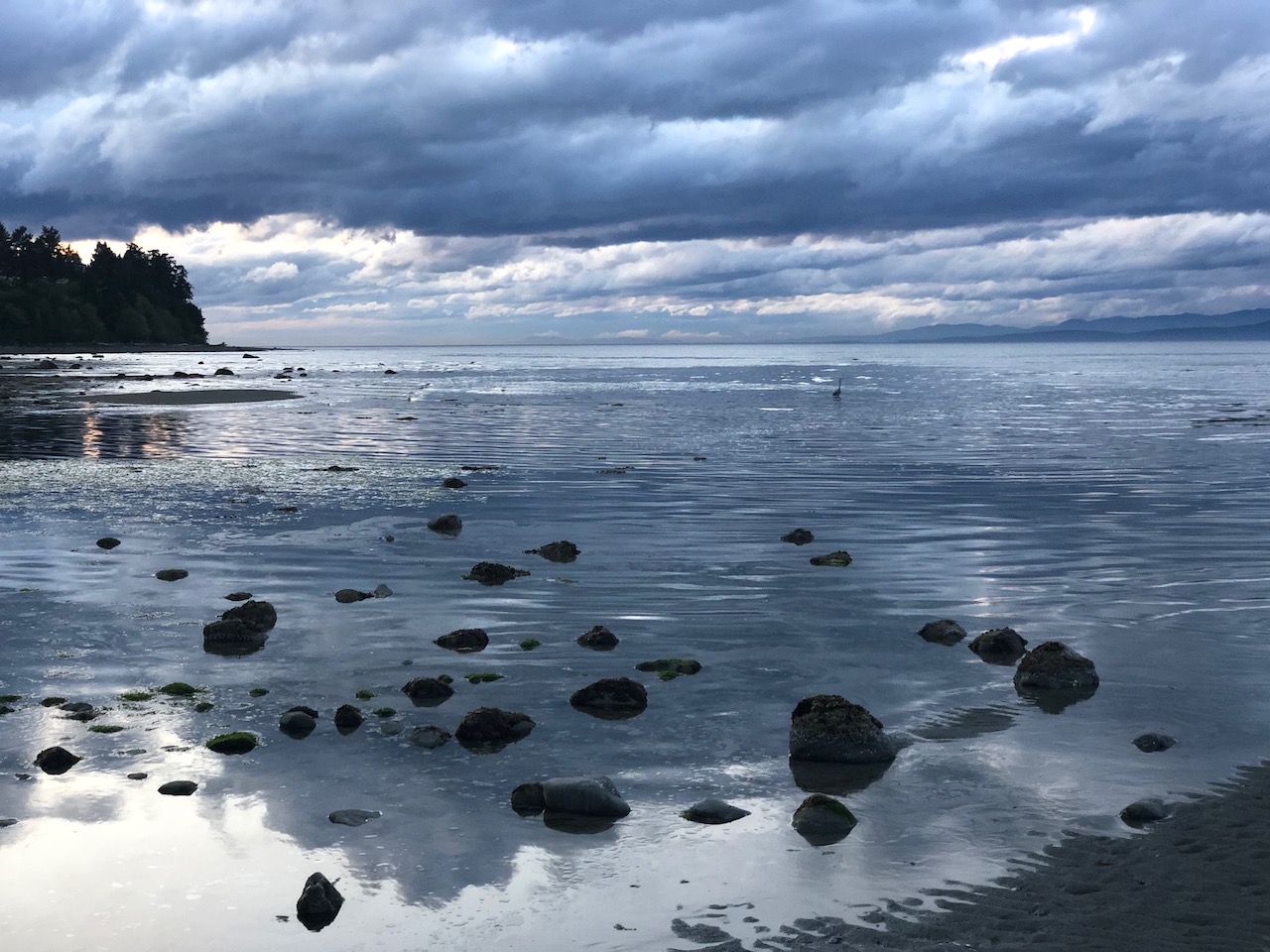
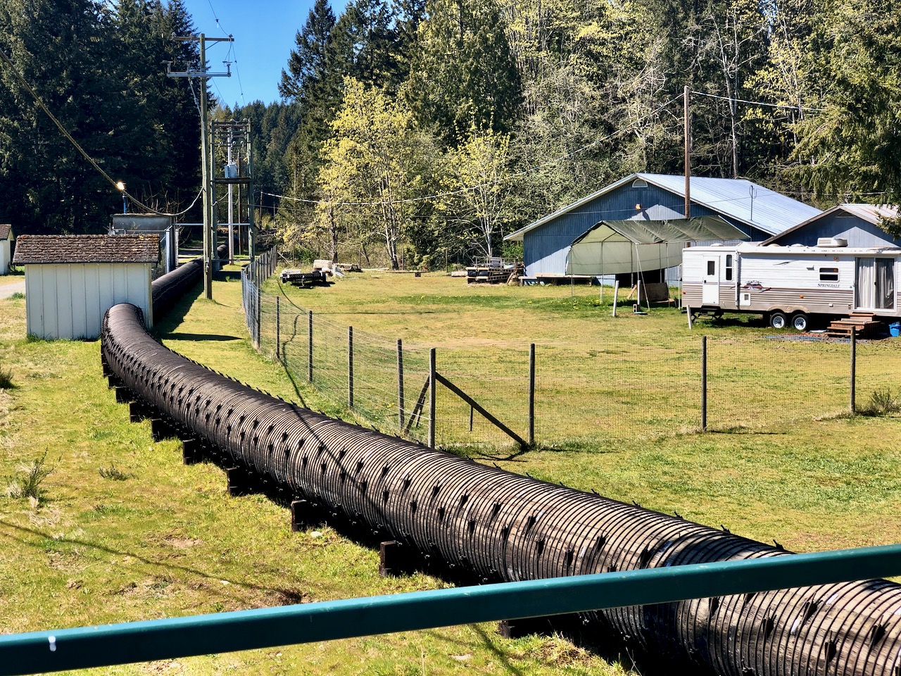
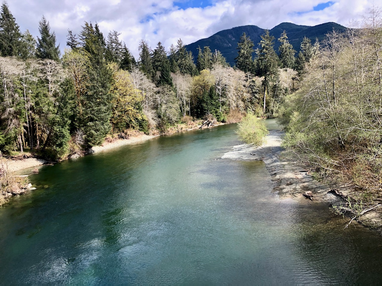
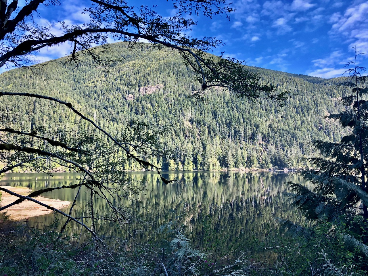
I took few photos as the views did not vary much. Pristine rivers and creeks were the highlight.
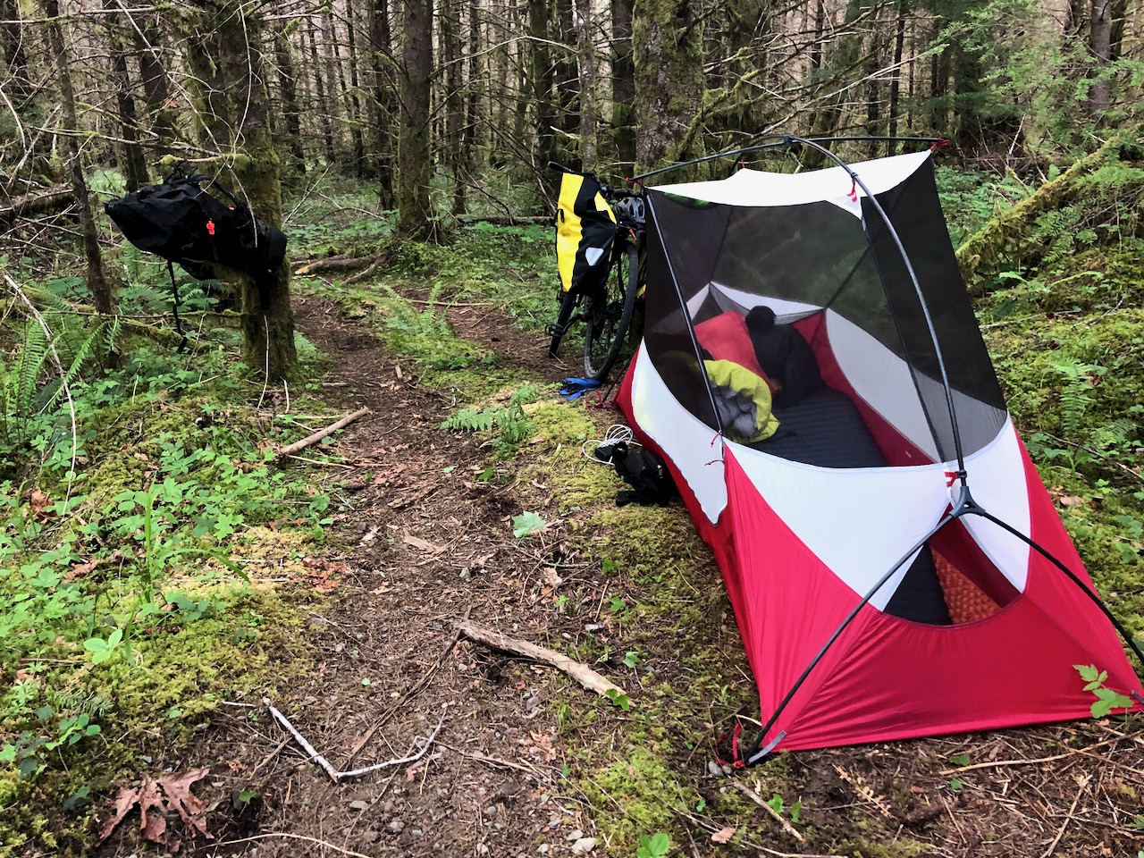
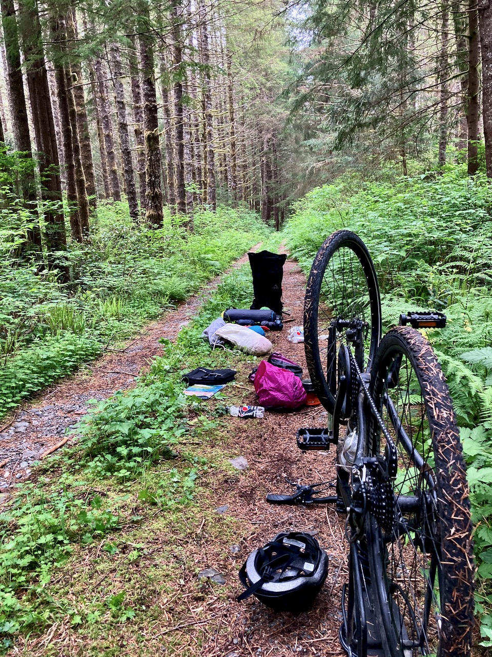
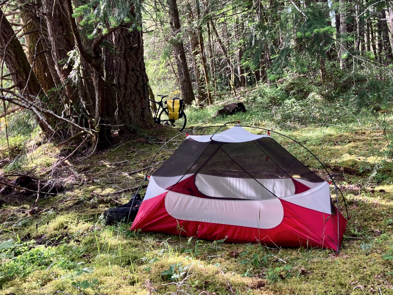
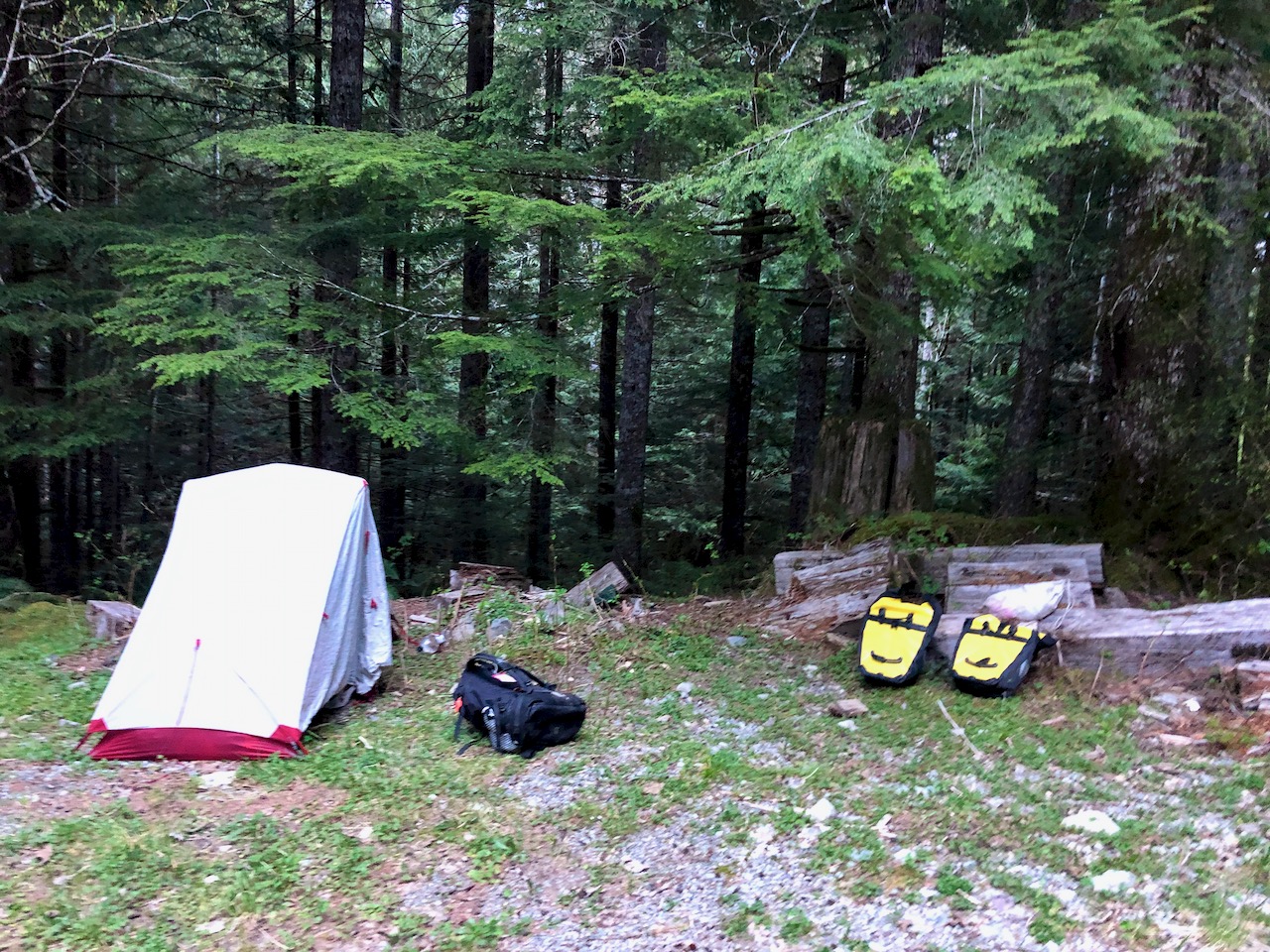
Around 6pm I had a surprisingly difficult time finding a good place to camp. Here’s where I ended up.
It was good, but visible from a spur logging road. Normally I want to be invisible from any road.
During the night no vehicles passed.
I was on the road early next morning.
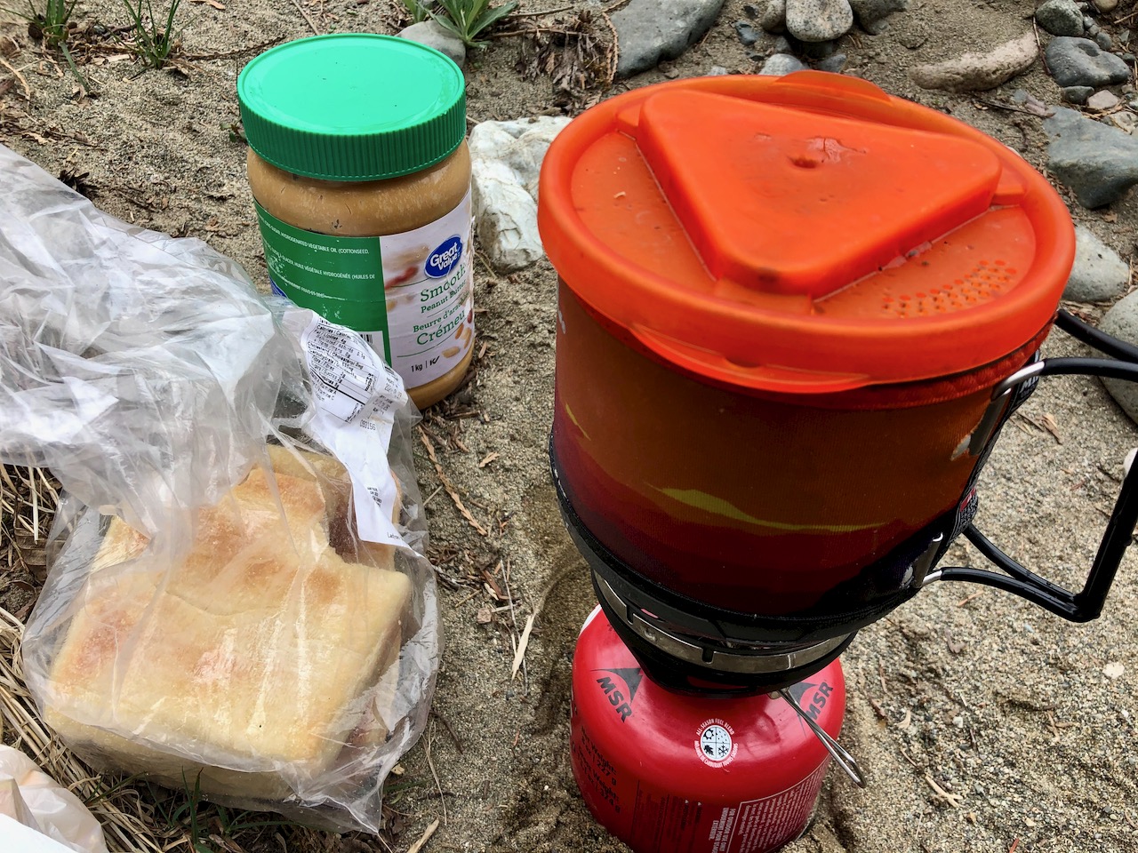
Down a ways, breakfast instant coffee and peanut butter toast.
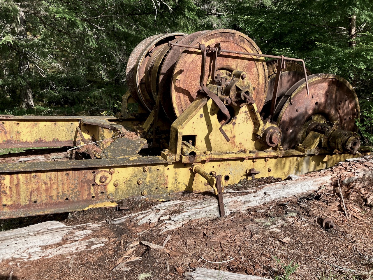
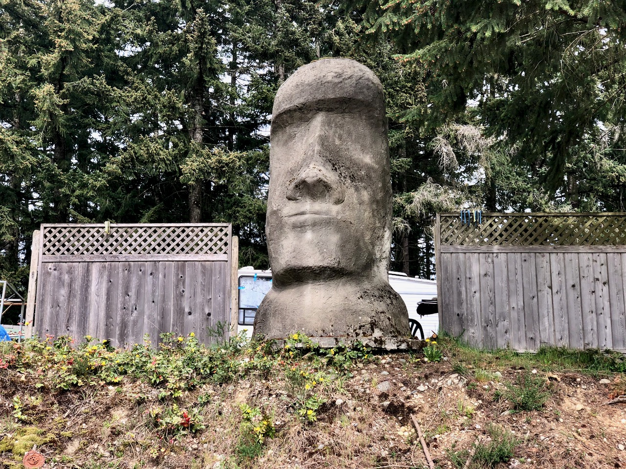
Again, there was not much of interest to report en route to Bamfield. Here are a couple of highlights.
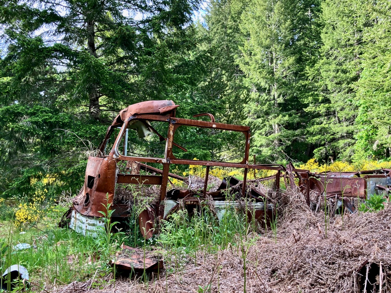
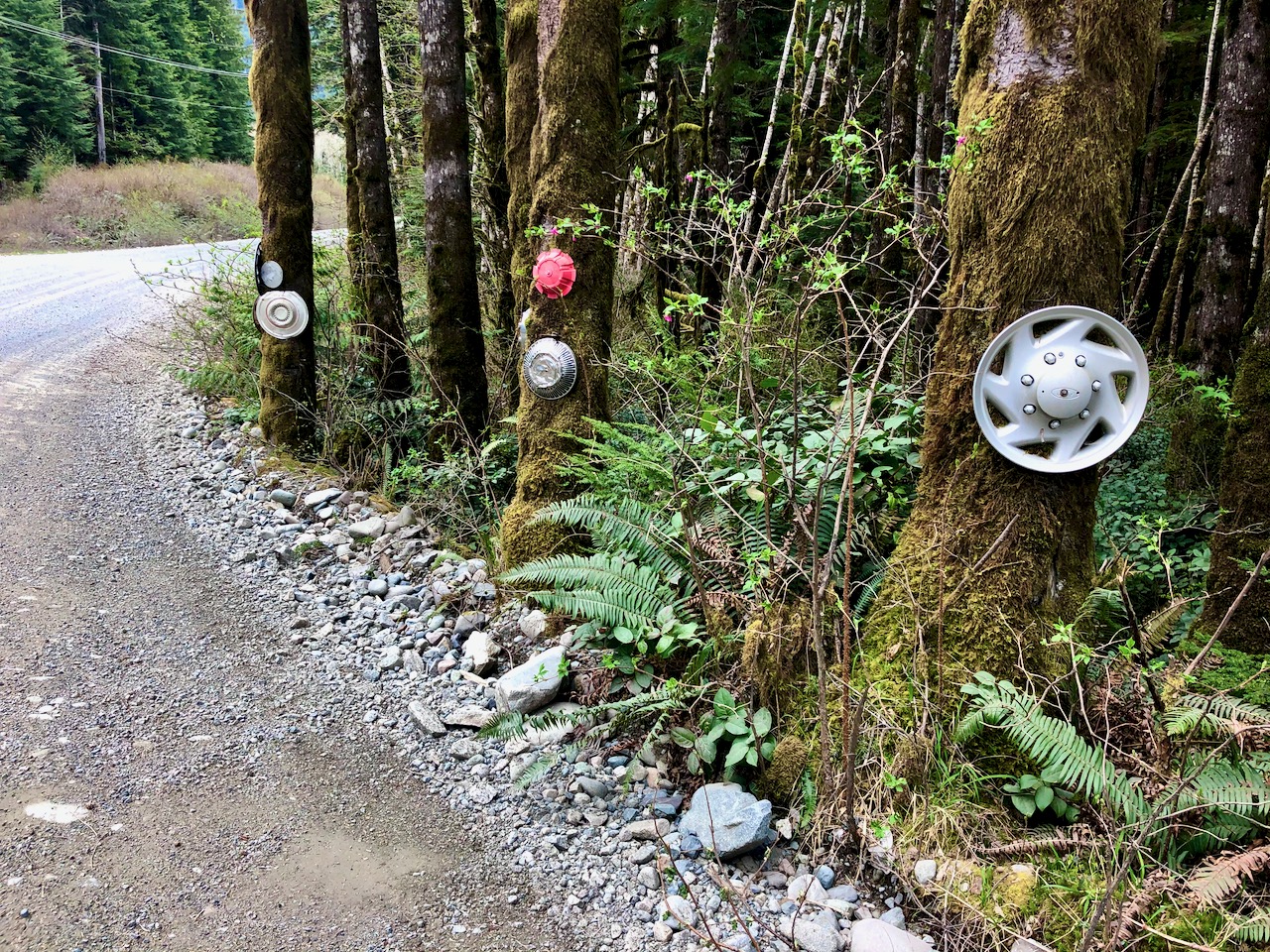
Hub cap forest
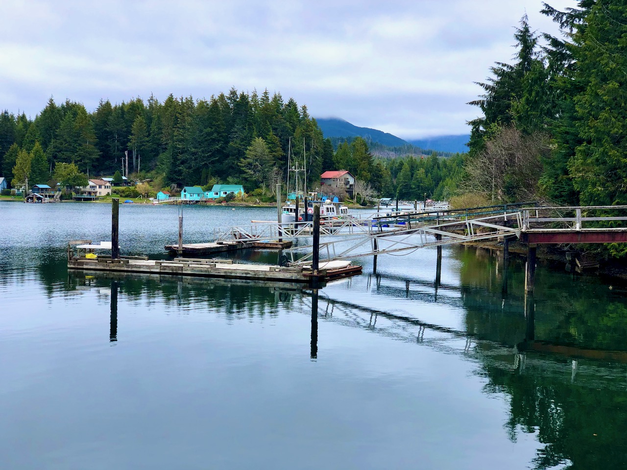
I’d passed through Bamfield quite a few times over the years as it’s a West Coast Trail trailhead. And a popular tourist destination.
With a population of less than 200 — and no tourists — it looked a ghost town.
The local Huu-ay-aht First Nation definitely do NOT want visitors right now. They’d declared a COVID-19 state of emergency with regulations more strict than the B.C. government.
The history of First Nations in North America is a history of genocide by introduced diseases.
I did not stay long.
That’s too bad as I had planned to hike … then take the ferry back to Port Alberni. But it only runs 3 times a week during the winter.
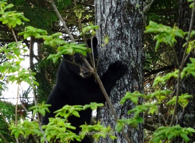
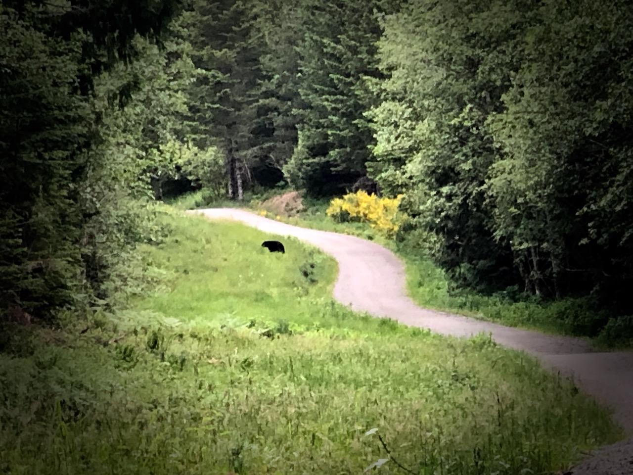
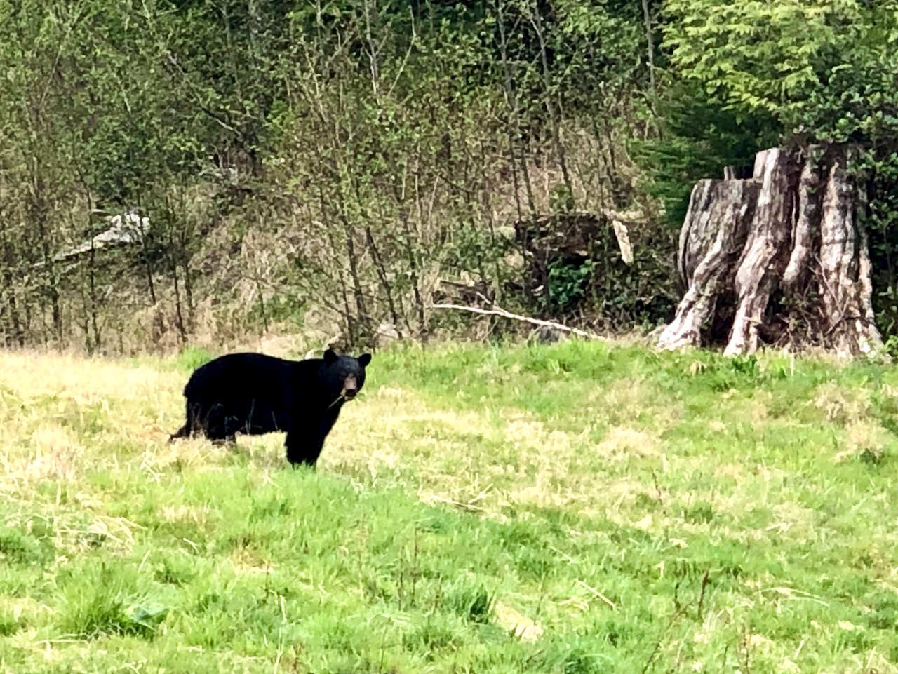
During my many hours cycling this trip I was surprised to see very little animal life. In fact, this bear was the highlight. And it was in a Bamfield back yard.
SO … I rode back in the direction I’d come, already having picked a lovely riverside campsite.
I don’t really mind hills. But these are HUGE. And LONG. And UNRELENTING. I wouldn’t ride it again.
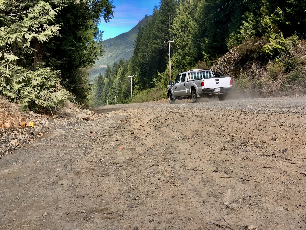
After pushing my bike up a hill for about 25 minutes a forestry worker offered me a lift. Yes, he was a cyclist. And he knew it might take me another hour of pushing to get to the top.
On the other side were big hills. But not as big. And the scenery is better than the interior.


 Exploring Strathcona Park is the best guidebook. It’s not inexpensive, but worth it. Great maps. Colour photos. Comprehensive coverage.